A publication that highlights the broad applications and benefits of low earth orbit observations.
2025 Science Digest LEO Science Digest
SWFO-L1 will transmit data to Earth continuously in real-time, protecting vital infrastructure, economic interests, and national security.
Monitoring the sun NOAA's SWFO-L1
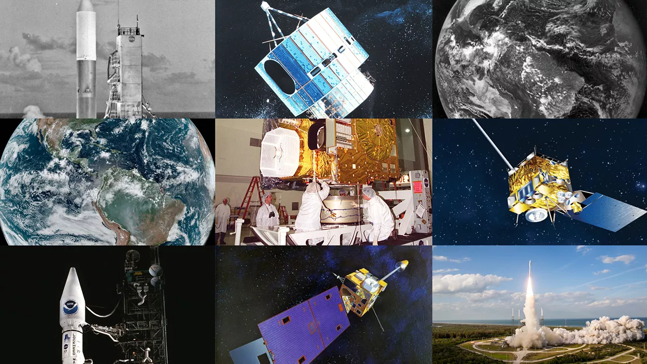
NOAA celebrates 50 years of its heralded Geostationary Operational Environmental Satellite program.
Fifty Years! 50 Years of GOES
Feature Stories
-
Feature Story
Human space exploration in the U.S. took another major step forward this spring in preparing for… -
Feature Story
Hurricanes, tornadoes, and blizzards are well known for their destructive impact to life and… -
Feature Story
LightningCast uses artificial intelligence (AI) to predict general locations where lightning is… -
Feature Story
The job of forecasting is with NOAA’s National Weather Service (NWS), but the Center for Satellite…
Data & New Technology
Commercial Data Program
NESDIS assesses and acquires space-based observational weather data from the private sector.
Improving weather forecasts Commercial Data Program
Data Collections
NOAA collects the most up-to-date data about the atmosphere, land, and oceans.
Learn about data information Data Collections
Joint Venture Partnerships
Leveraging new data sources and exploring new and innovative technologies.
Learn about the joint venture partnerships Joint Venture Partnerships
News & Announcements
-
Satellite Snapshots
NOAA scientists have been monitoring a sweltering and record-breaking heat wave that has been… -
Earth from Orbit
Lightning is a dangerous weather hazard that poses a significant threat to life and property. It… -
Earth from Orbit
Since mid-May, NOAA satellites have been closely monitoring heat signatures and thick plumes of…


