NOAA satellites observe the Earth from space, constantly scanning the planet to collect the most up-to-date data about the atmosphere, land, and oceans. This information is vital to our daily lives—and is in fact the basis for every weather forecast. From official comprehensive assessments of the environment to mapping the ocean floor from space, NESDIS science helps us better understand our complex planet.
Numerous offices within NESDIS help get this information from the satellites to all who need it every day.
NOAA Data Products
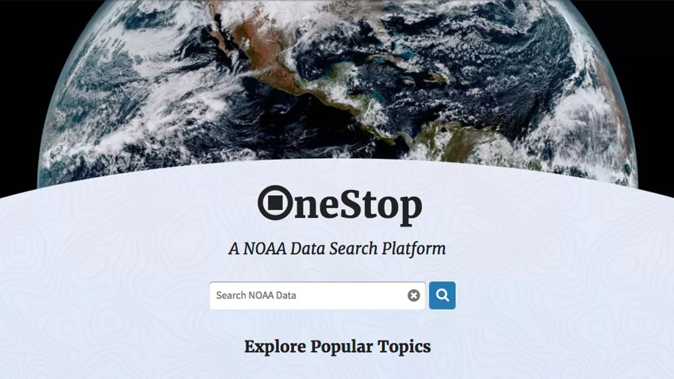
NOAA's OneStop provides enhanced collection and searching for datasets archived at the National Centers for Environmental Information. It consists of 111,164 collections and 14 million granules, it is designed to improve NOAA's data discovery and access framework. Focusing on all layers of the framework and not just the user interface, OneStop is addressing data format and metadata best practices, ensuring more data are available through modern web services, working to improve the relevance of dataset searches, and advancing both collection-level metadata management and granule-level metadata systems to accommodate the wide variety and vast scale of NOAA's data.
NESDIS Data
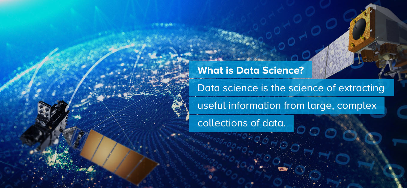
How does data received from space turn into vital products and services used everyday across the country?
The NESDIS science enterprise transforms the “bits and bytes” received from satellites and other sources around the globe into environmental intelligence. From official comprehensive assessments of the environment to mapping the ocean floor from space, NESDIS science helps us better understand our complex planet.
National Centers for Environmental Information
All that data also needs to be stored somewhere. That’s where the National Centers for Environmental Information comes in. NCEI hosts and provides public access to one of the most significant archives for environmental data on Earth, consisting of more than 37 petabytes of comprehensive atmospheric, coastal, oceanic, and geophysical data.
NCEI also provides authoritative assessments and research on the entire Earth system, from the bottom of the ocean to the surface of the sun. It also produces an increasing suite of products that integrate multiple sources of data both in space and on the ground to provide comprehensive atmospheric, oceanic, and geophysical environmental information.
Center for Satellite Applications and Research
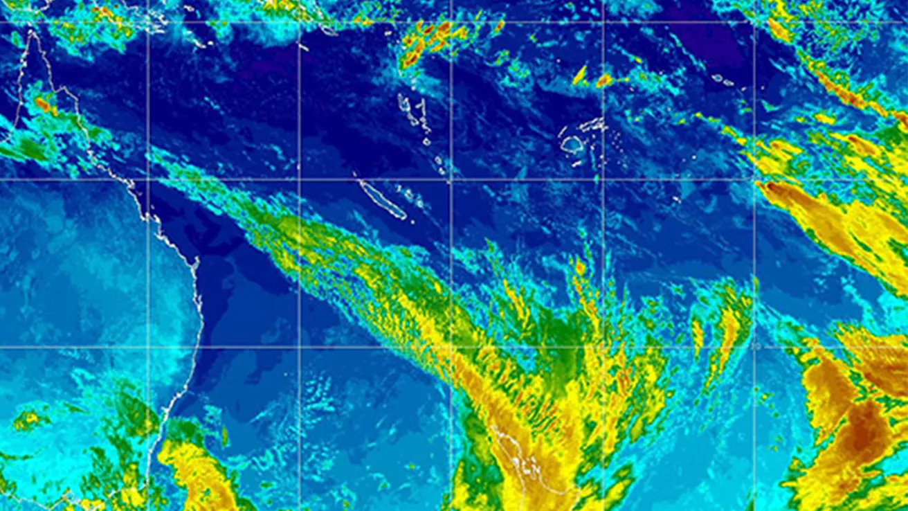
Collecting an entire planet’s worth of information every day is a huge undertaking, and produces a massive amount of data. The satellites transmit all of these raw “bits and bytes” to NESDIS, where a team of scientists and supercomputers within its Center for Satellite Applications and Research (STAR) process it via complex algorithms so that it is easier for us to understand. Researchers at STAR then use the processed data to create state-of-the-art products and services that help decision-makers better inform the public and safeguard our environment.
STAR scientists also lead efforts to develop, test, validate, and refine the science algorithms needed to enhance these data products as well as investigate how to improve sensor technology for future NOAA satellite missions.
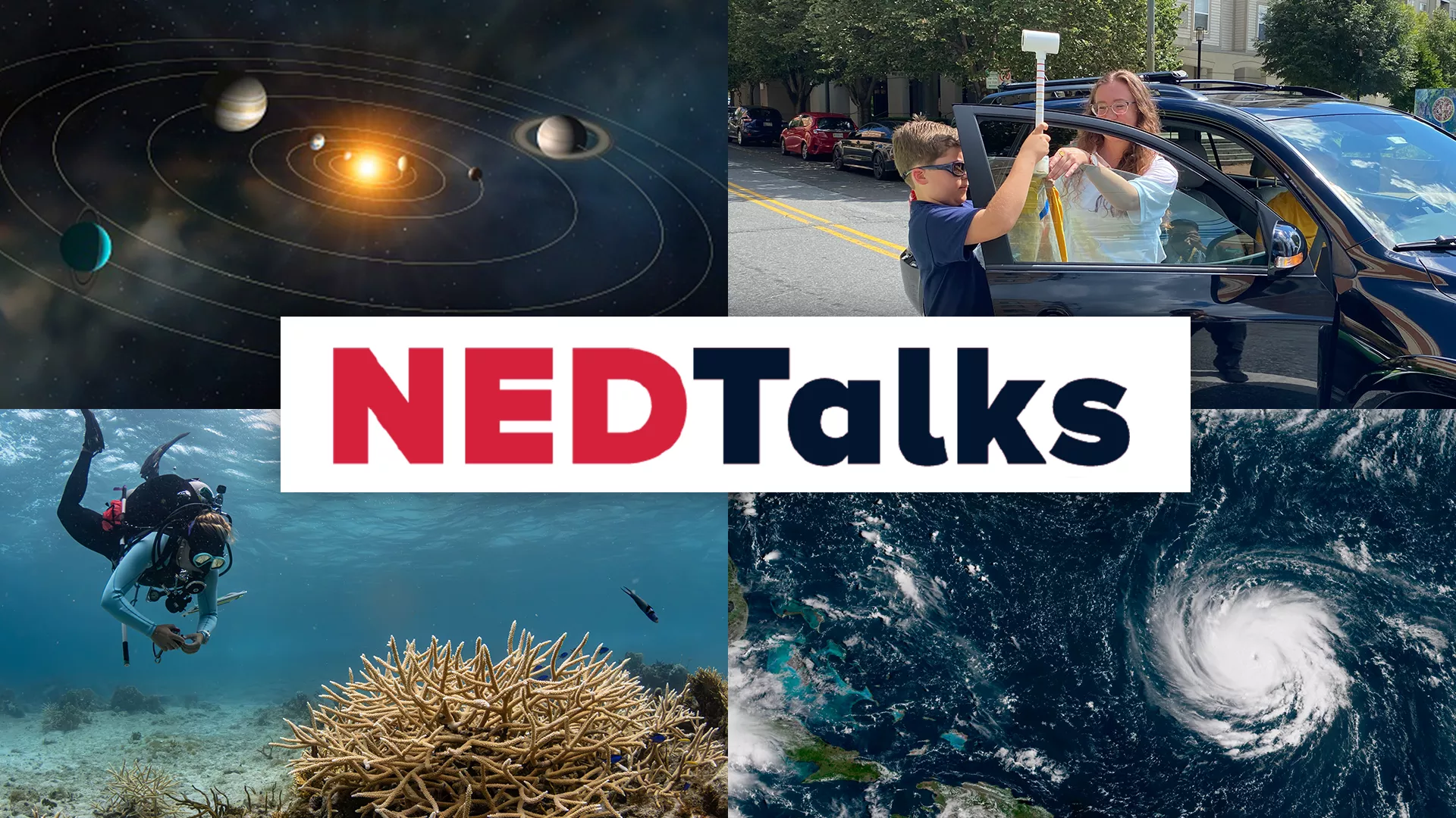
Join us for NEDTalks!
Join us for NOAA Environmental Data Talks (NEDTalks)! This year, presentations will cover topics related to climate. From exploring the climates of other planets to understanding the impact of extreme heat and the costs of weather-related disasters, these engaging talks offer something for everyone.
NEDTalks are open to the public and each will be followed by a live Q&A discussion.