
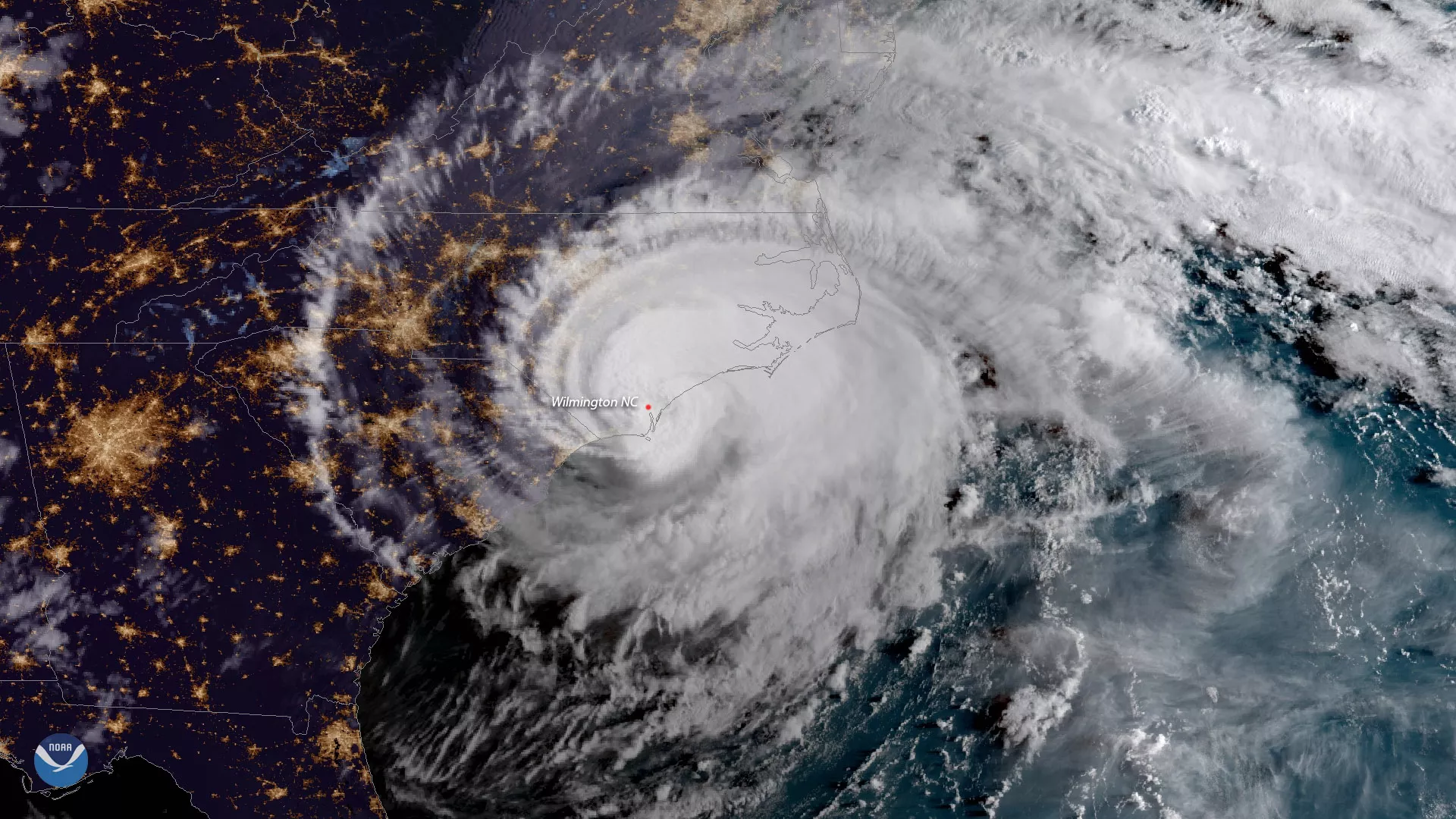
NOAA’s geostationary and polar-orbiting satellites provide vital information for monitoring and forecasting hurricanes and tropical weather that threaten our lives and property.
Our geostationary satellites continuously view the entire Atlantic and eastern/central Pacific hurricane basins to provide real-time tracking and monitoring of tropical cyclones as well as the environmental conditions that cause them to form. By imaging a storm as often as every 30 seconds, these satellites help forecasters more easily discern the movement of cloud features and provide greater confidence in estimating the intensity of storms.
Our polar-orbiting satellites orbit the Earth from pole to pole 14 times a day, providing full global coverage twice daily. They make sophisticated and precise observations of the atmosphere, ocean and land, which are critical for daily and long-term monitoring and forecasting.
These swirling masses of thunderstorms occur, on average, 14 times per year in the Atlantic basin. Early warning of these storms can aid evacuation and preparedness efforts, saving lives and property.
Hurricane Applications
