
Citizen science includes the general public in meaningful tasks that contribute to the data collection, analysis of data, and the scientific process. Citizen science has a rich history within NOAA and volunteer observations have helped inform our Nation’s understanding of weather, oceans, and coasts for over a century.
The Projects

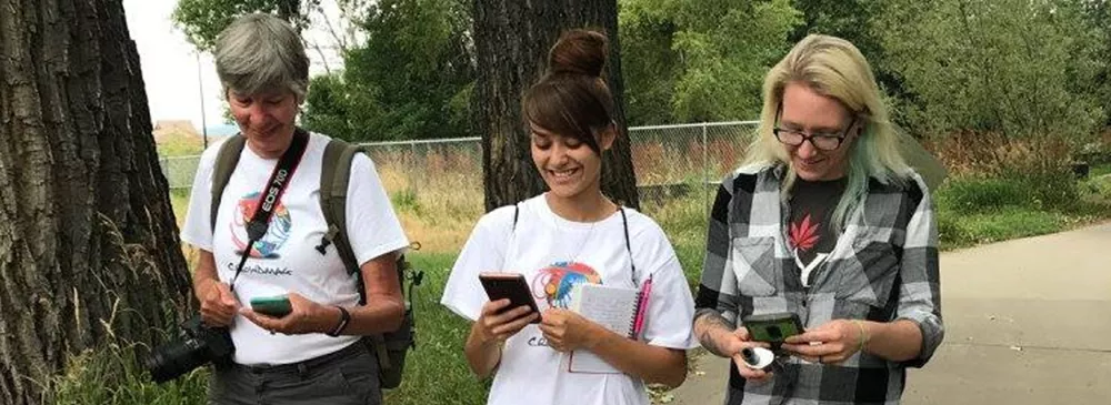
CrowdMag
The CrowdMag phone application collects magnetic data from the digital magnetometers in smartphones that helps improve NOAA’s models used in navigation and geolocation applications.

CoCoRaHS
The Community Collaborative Rain, Hail, and Snow (CoCoRaHS) Network teaches volunteers how to monitor precipitation conditions and provide measurements of rain, snow, and hail as a public service. This data supports the National Weather Service and is accessible through a real-time map viewer.

mPING
The Meteorological Phenomena Identification Near the Ground (mPING) project collects eyewitness reports of precipitation, wind damage, flooding, mudslides, and visibility from around the globe through a smartphone application. These reports help support the National Weather Service’s improvement of radar use in forecasts.

CSB
NESDIS NCEI is collaborating with the International Hydrographic Organization to tap into the enthusiasm for mapping the ocean floor by enabling trusted mariners to easily contribute data to fill the gaps in our current bathymetric coverage. Crowdsourced bathymetry (CSB) is the collection of depth measurements from vessels, using standard navigation instruments, while engaged in routine maritime operations.