
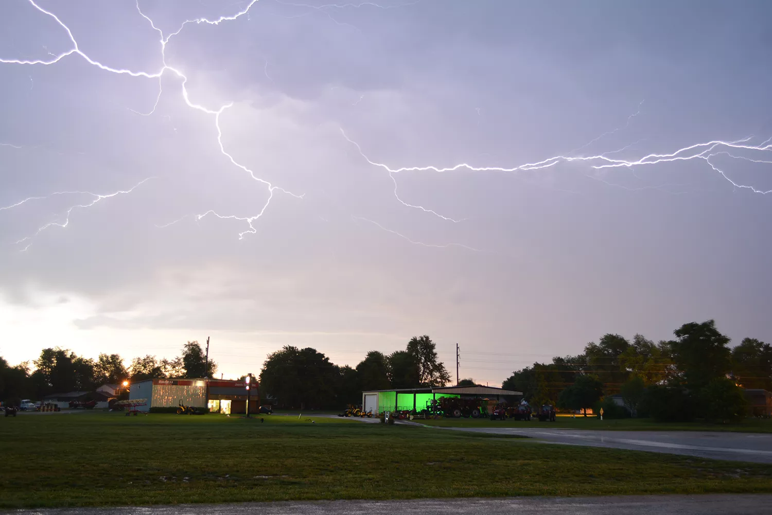
Lightning seen from the Farmer's Market Pavilion looking east as a squall line rolled through. Image credit: NOAA Weather in Focus Photo Contest 2015 | Tom Williams
Lightning is one of nature’s most dangerous weather threats. Accurately predicting where it might strike can not only protect property, but improve public safety and ultimately save lives.
Because lightning often accompanies severe weather, tracking it can enhance forecasts and provide insights about a storm’s intensity. It also supports critical decisions in aviation and transportation, helps firefighters stay safe and identify the potential for new fire ignitions, and aids in safeguarding infrastructure. But how can you predict when and where the risk is most significant?
That’s where Doc Brown and Marty McFly…or rather, Mike Pavolonis, PhD, from the NOAA/NESDIS Center for Satellite Applications and Research and John Cintineo from the NOAA/OAR National Severe Storms Laboratory, alongside scientists at the University of Wisconsin–Madison’s Cooperative Institute for Meteorological Satellite Studies (CIMSS) come in with a tool they developed called LightningCast. This system is currently in experimental status and is planned to become operational in 2026.
LightningCast uses artificial intelligence (AI) to predict general locations where lightning is most likely to occur. This advanced notice can be vital for warning people to seek shelter before severe weather occurs. It also detects lingering lightning threats in storms with intermittent activity and helps assess when the danger is diminishing.
The tool works by scanning massive amounts of satellite imagery from the Advanced Baseline Imager (ABI) onboard NOAA’s GOES-R satellites much faster and more thoroughly than a human ever could. Using advanced algorithms, it analyzes these images to detect both pertinent and subtle signatures that signal lightning may be about to form, often before it starts raining.

An animation visualizing lightning probability predictions from a developing storm over Tennessee on June 22, 2025. The colors represent Geostationary Lightning Mapper flash-extent density, while the various contours indicate the probability of lightning occurring within the next 60 minutes. High-probability areas (in red and pink) suggest increased chances of lightning activity. These contours are overlaid onto Day-Cloud-Land RGB imagery via NOAA’s GOES-19 satellite, providing meteorologists with real-time insights for severe weather monitoring.
By spotting these signals early, LightningCast can reliably forecast lightning activity up to an hour before the first flash occurs. This gives forecasters and emergency managers a crucial head start.
Though still experimental, forecasters are using the LightningCast model in a wide range of situations—including large sporting events, state fairs, outdoor concerts, construction sites, and rocket launches to name a few. Some cruise lines use LightningCast to protect passengers as they board and disembark at their various ports of entry. In 2022, organizers of the World Games in Birmingham, Ala., used LightningCast to make weather-related decisions pertaining to the events. But its usefulness extends beyond just large events. It can also help individuals make weather-informed decisions in their everyday lives.
“It’s a tool that serves a lot of purposes,” says Pavolonis. “Sometimes I use it to plan outdoor activities when the clouds look a little ominous. So it helps with general weather awareness, especially when combined with official forecasts and radar.”