
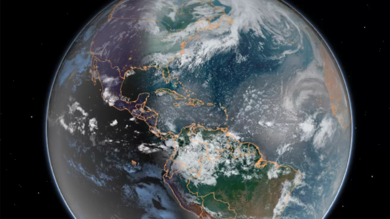
Our dynamic world is always changing. See what it looks like now from space via our live feeds.
Explore interactively Interactive Maps
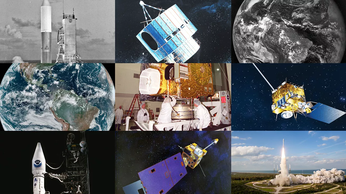
NOAA celebrates 50 years of its heralded Geostationary Operational Environmental Satellite program.
Fifty Years! 50 Years of GOES
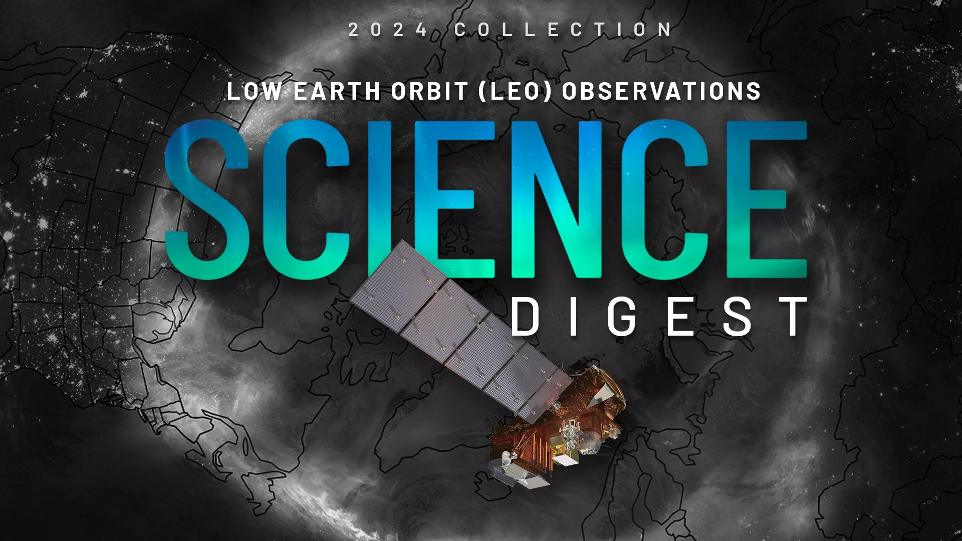
Explore the impact and applications of low earth orbit data and products.
View Digest 2024 LEO Science Digest
Feature Stories
-
NOAA satellites helped rescue 411 people from life-threatening situations in the U.S. and its…
-
Satellites provide scientists important data they use to manage and protect fisheries and marine…
-
Satellite observations are vital for Alaska’s remote communities, providing critical support for…
-
The new year has gotten off to a cold and snowy start with a polar vortex affecting much of the…
Data & New Technology
Data Purchases
NOAA is taking concrete steps to support the development of commercial markets for space-based weather data.
Visit the programs page Data Purchases
Data Collections
NOAA collects the most up-to-date data about the atmosphere, land, and oceans.
Learn about data information Data Collections
Pathfinder Initiative
Help develop studies for future applications of mission data products.
Read about pathfinder initiative Pathfinder Initiative
News & Announcements
-
The Extreme Ultraviolet and X-ray Irradiance Sensors (EXIS) onboard NOAA’s GOES-19 satellite, which…
-
NASA has selected Firefly Aerospace, Inc. of Cedar Park, Texas, to provide launch services for NOAA…
-
On Sept. 13, NOAA awarded Knowledge Mesh/Natural Language Processing (KM/NLP) contracts with a…
-
NASA, on behalf of NOAA, has selected Lockheed Martin Corp. to develop a lightning mapping…
-
NOAA satellites have been closely tracking Tropical Storm Francine since it formed in the…