
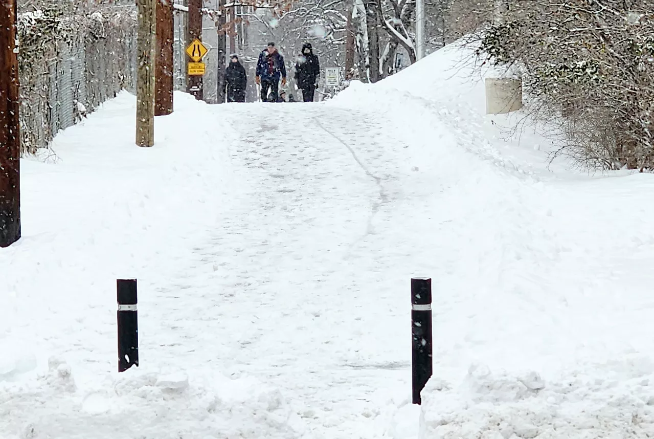
The new year has gotten off to a cold and snowy start with the polar vortex affecting much of the United States along with the first coast-to-coast storm of 2025.
The polar vortex is a stream of cold air that normally circles the Arctic. Normally contained by a strong jet stream, this ring of frigid arctic air can become unstable when the jet stream weakens, allowing it to spill southward. During the week of Jan. 6, 2025, this phenomenon brought below-freezing temperatures to much of the United States, and fueled a winter storm that dumped snow and ice across several states.
This image from the NOAA-21 satellite captures a blanket of white snow covering parts of the mid-Atlantic states, where several inches fell on January 6, 2025.
These images, created using microwave measurements from NOAA’s Joint Polar Satellite System (JPSS), show liquid-equivalent snowfall rates across the United States on Jan. 5-6, 2025. The storm swept across the country, bringing dangerous snow, ice, and wind to millions, disrupting flights, closing schools, and impacting several major U.S. cities.
JPSS satellites play a vital role in monitoring winter weather as they orbit Earth’s poles. Their orbits provide frequent views of the polar regions, enabling scientists to track polar vortex patterns. These satellites also contribute to more accurate forecasting of cold temperatures and help predict where winter weather will occur.