
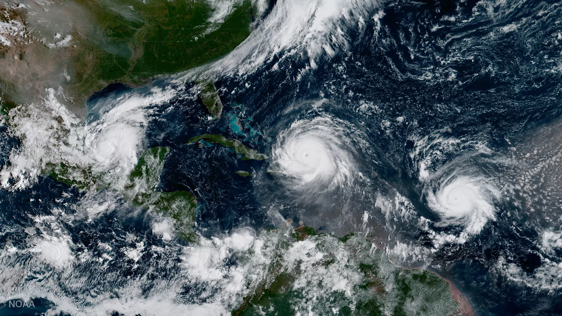
In 2025, NOAA celebrates 50 years of its heralded Geostationary Operational Environmental Satellite program, known as GOES. For five decades, NOAA and NASA have partnered to advance NOAA satellite observations from geostationary orbit. GOES are our sentinels in the sky: keeping constant watch for severe weather and environmental hazards on Earth and dangerous space weather.
For 50 years, GOES data has been the backbone of short-term forecasts and warnings of severe weather and environmental hazards in the Western Hemisphere and forecasts and warnings of space weather hazards. Each successive generation of GOES has brought improvements and new capabilities to monitor our part of the world.
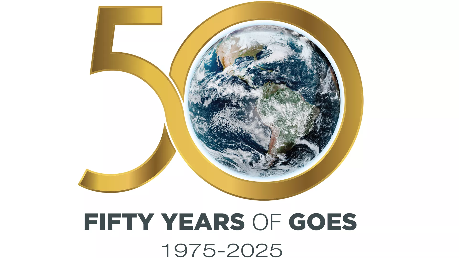
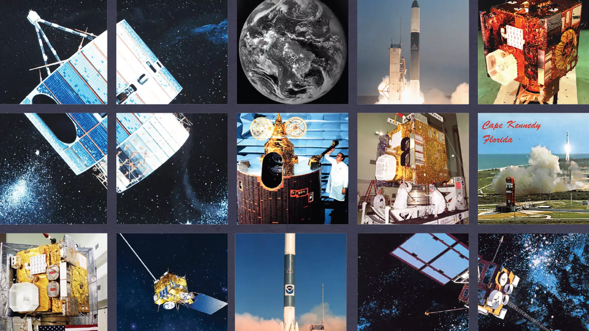
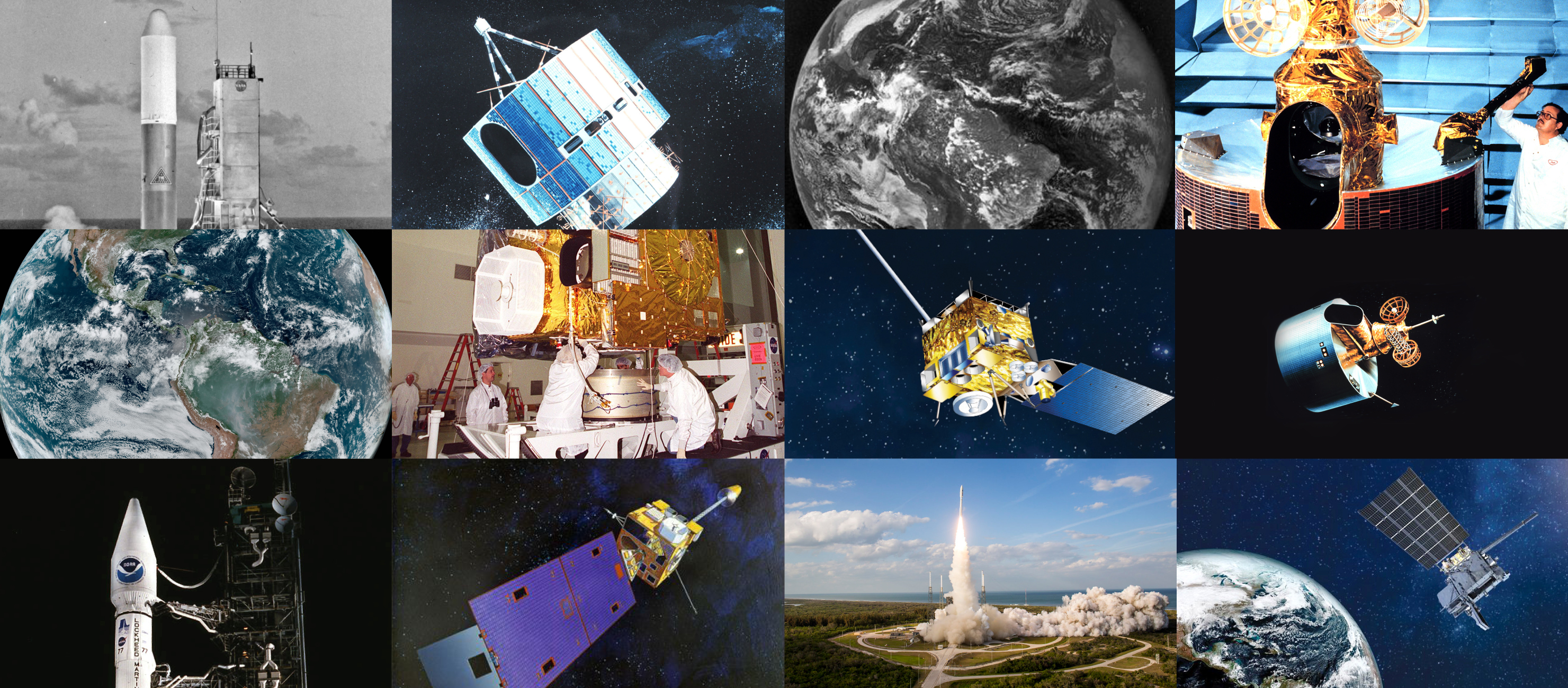
Fifty Years of GOES
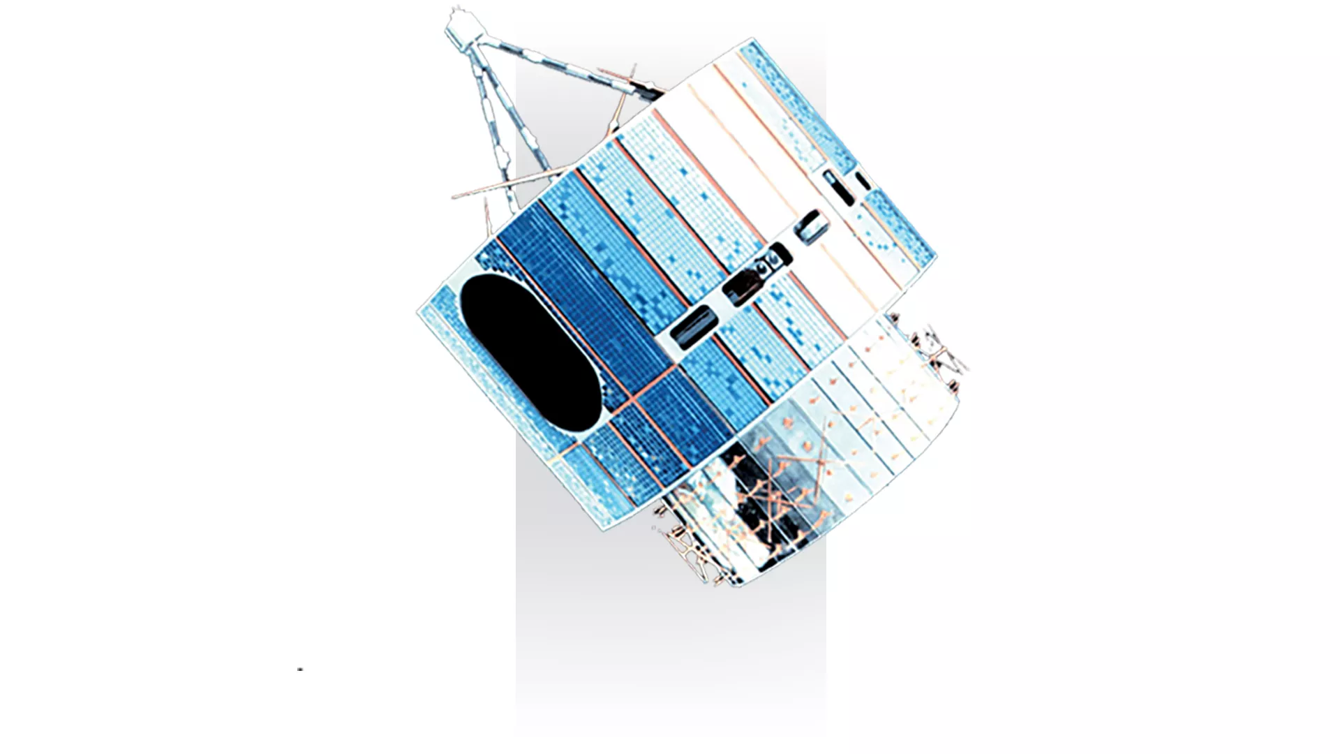
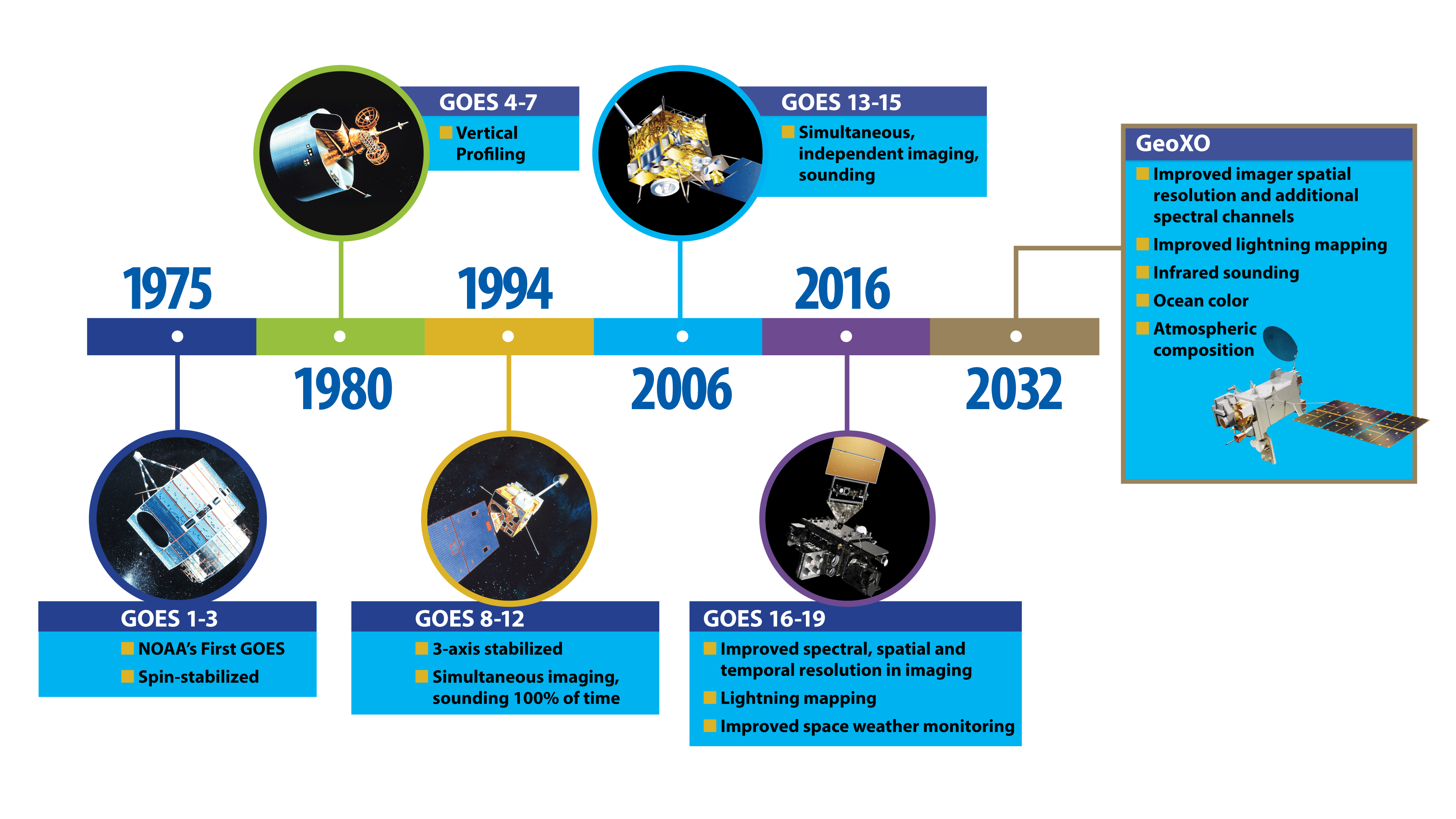
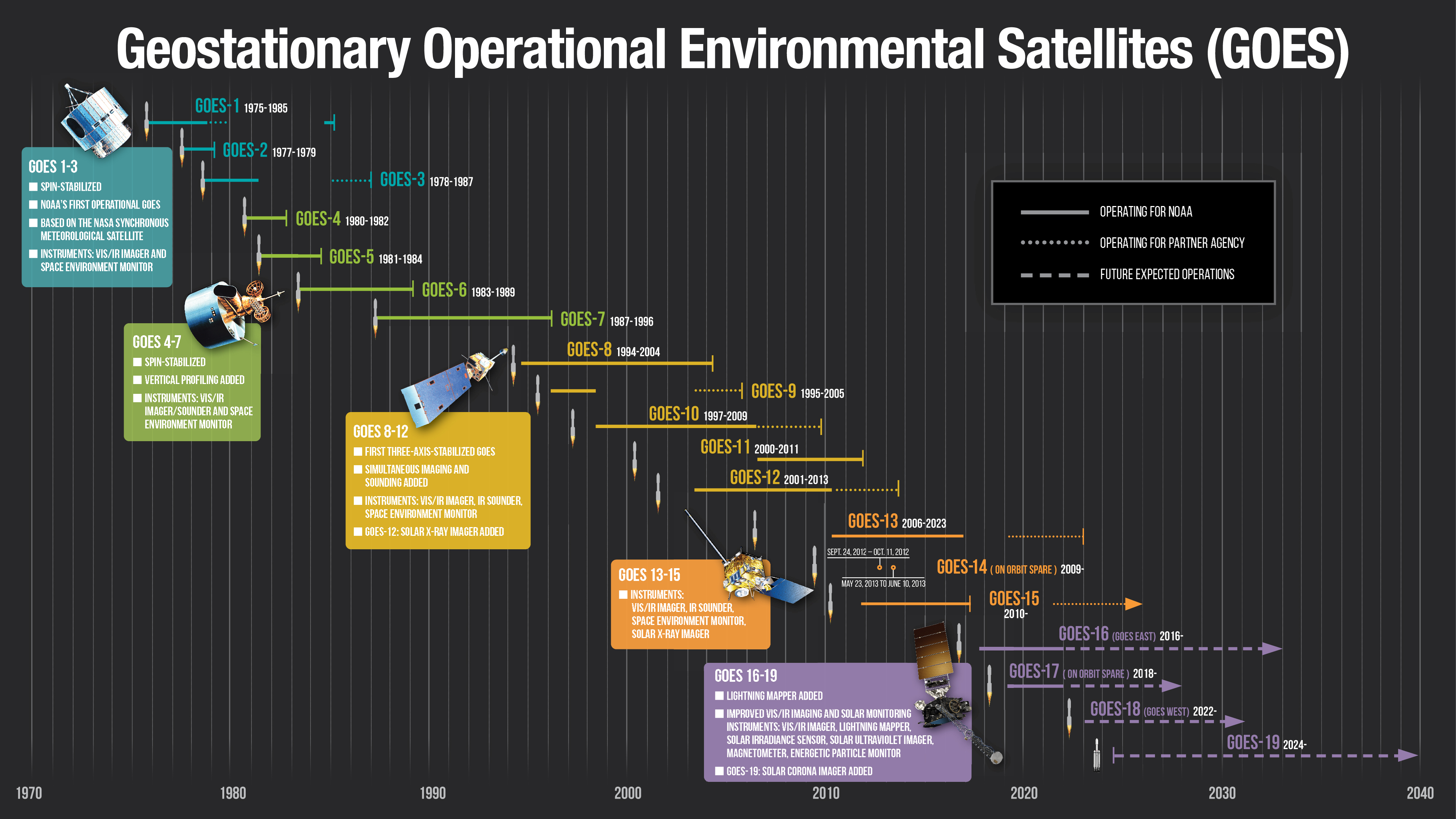
It all began in October 1975 with the launch of GOES-1, which gave forecasters their first near real-time look at atmospheric conditions from a fixed location. The satellite included the VISSR instrument (Visible Infrared Spin-Scan Radiometer) to provide high-quality day and night observations of cloud and surface temperatures, cloud heights and wind fields. The first generation of GOES also hosted a Space Environment Monitor (SEM) to measure proton, electron, and solar X-ray fluxes and magnetic fields around the satellites. All GOES satellites since have carried space environment monitors.
Before GOES, we didn’t have accurate information about where and when hurricanes would come ashore. The new satellites quickly began providing critical information about these storms and where they were headed. The earliest generation of GOES provided crucial data about Tropical Storm Claudette and Hurricane David in 1979, both devastating storms for the U.S.
By 1980, a new series of GOES was in orbit. They could obtain vertical profiles of temperature and moisture throughout the various layers of the atmosphere. This added dimension gave forecasters a more accurate picture of the intensity and extent of storms, allowed them to monitor rapidly changing events, and helped to predict fog, frost and freeze, dust storms, flash floods, and even the likelihood of tornadoes.
The second generation of GOES helped forecasters track and forecast the impacts from the 1982 to 1983 El Nino event, one of the strongest El Ninos on record with large economic losses. These GOES also gave forecasters vital information for Hurricane Juan in 1985 and Hurricane Hugo in 1989, both devastating storms for the U.S.
GOES-7, launched in 1987, added the new capability of detecting distress signals from emergency beacons. Since then, GOES have helped to rescue thousands of people as part of NOAA’s Search and Rescue Satellite-Aided Tracking (SARSAT) system to detect and locate mariners, aviators, and other recreational users in distress. This system uses a network of satellites to quickly detect and locate distress signals from emergency beacons onboard aircraft and vessels and from handheld personal locator beacons called PLBs. The SARSAT transponder on board GOES immediately detects distress signals from emergency beacons and relays them to ground stations called local user terminals. In turn, this signal is routed to a SARSAT mission control center and then sent to a rescue coordination center, which sends a search and rescue team to the location of the distress call.
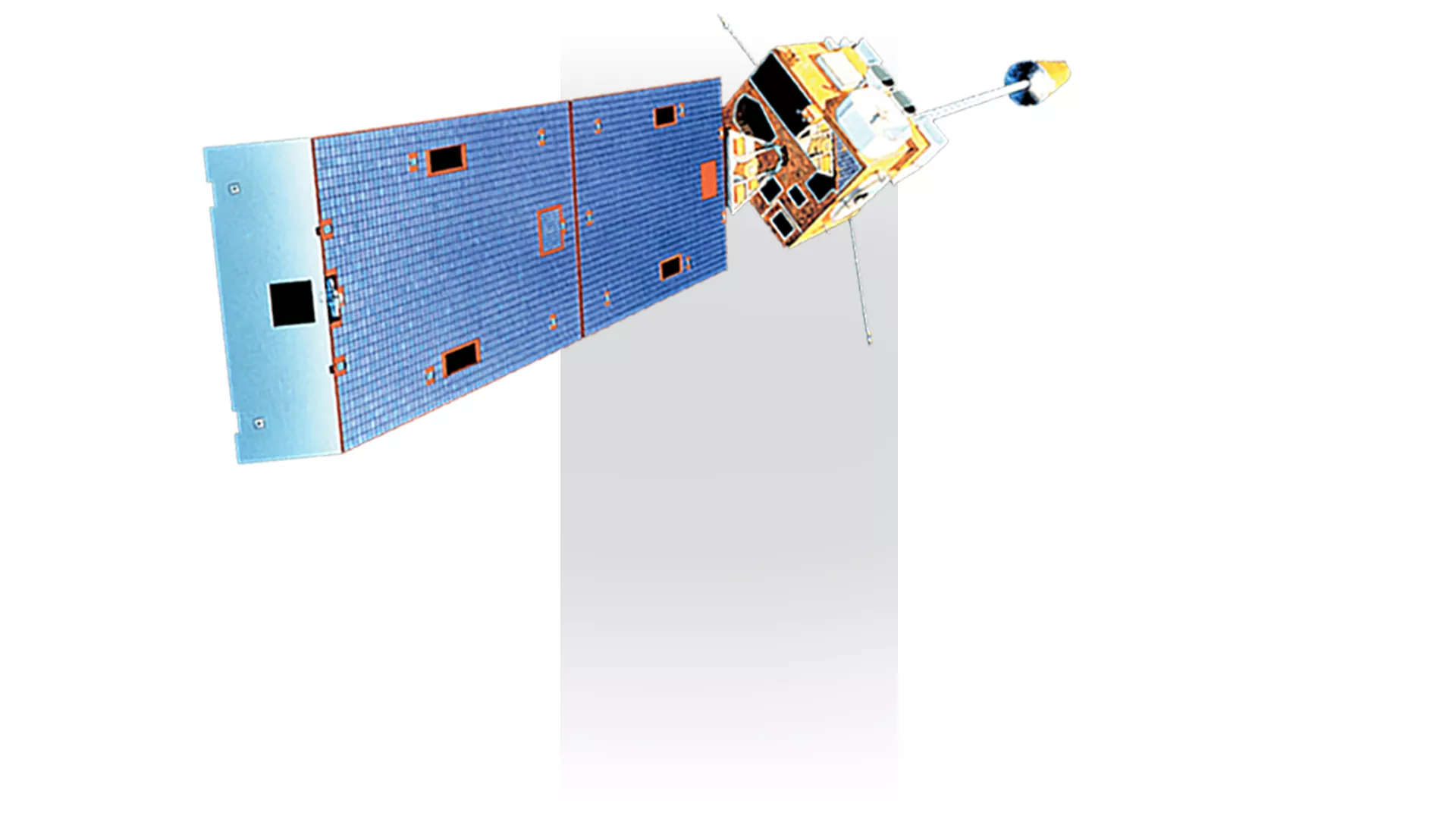
In 1994, GOES-8 significantly improved data resolution, quantity, and continuity. Advances in two technologies were responsible: three-axis stabilization of the spacecraft and separate optics for imaging and sounding. Simultaneous imaging and sounding allowed forecasters to use multiple measurements of weather phenomena to increase the accuracy of their forecasts. Another improvement was flexible scanning. The satellites could temporarily suspend their routine scans of the hemisphere to concentrate on a small area of quickly evolving events. This capability allowed meteorologists to monitor local weather trouble spots, improving short-term forecasts.
In 2001, forecasters used GOES-8 to track the slow-moving remnants of Tropical Storm Allison as the storm stalled out over the Gulf Coast for four days. Allison dropped more than three feet of rain across portions of coastal Texas and Louisiana, causing severe flooding, especially across the Houston metro.
GOES-12, the final satellite in the third generation of GOES, launched in 2001, carried a new Solar X-ray Imager (SXI). SXI was the first X-ray telescope to take a full-disk image of the sun. It enabled forecasters to detect solar storms and better monitor and predict space weather that could affect Earth. Geomagnetic storms can damage satellites, disrupt communications and navigation systems, impact power grids, and harm astronauts in space.
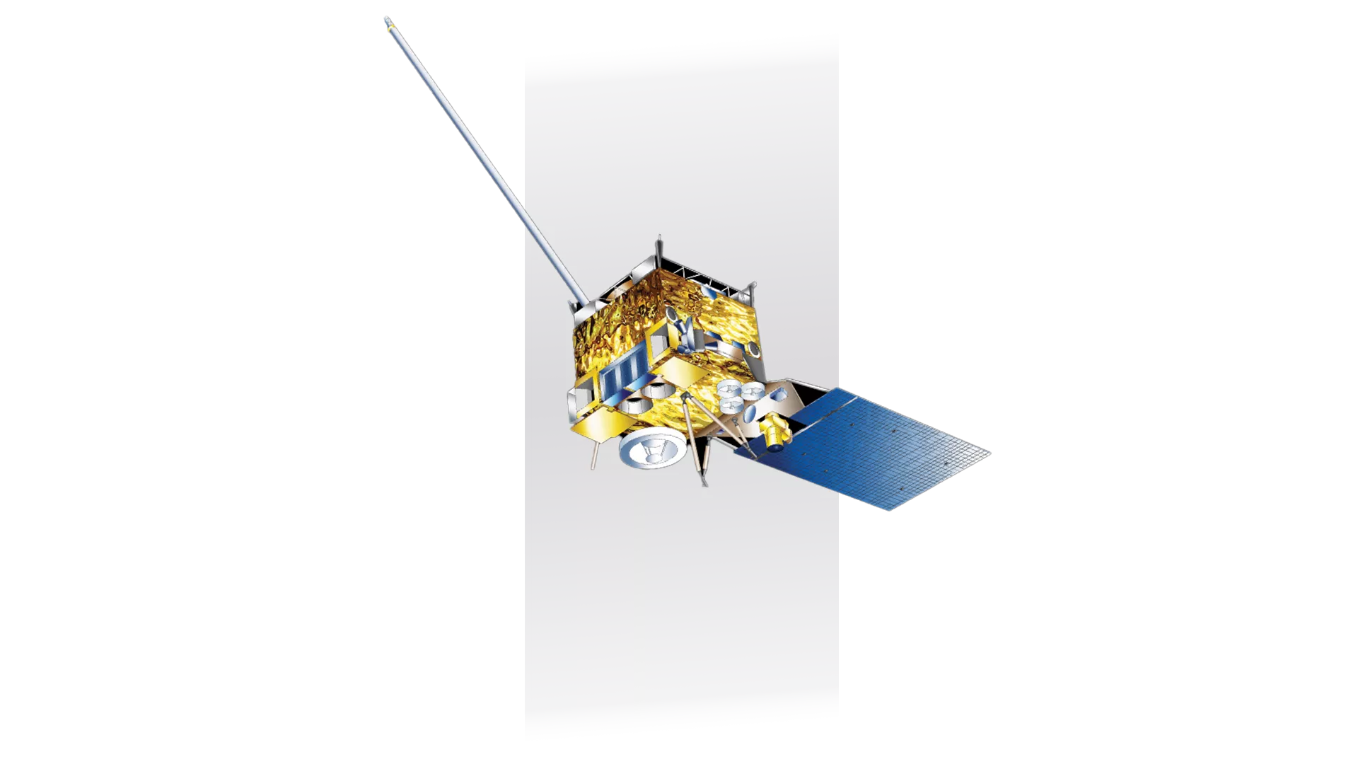
By the mid-2000s, the fourth generation of GOES further enhanced the mission with improvements to the Image Navigation and Registration subsystem, including star trackers, to better determine the coordinates of intense storms. Also, the satellites offered continuous imaging for the first time, thanks to better batteries and more power.
GOES-13 added an Extreme Ultraviolet Sensor, which monitored solar extreme ultraviolet emissions and measured the solar impact on satellite orbit drag and radio communications.
In April 2011, GOES-13 monitored the recording-breaking tornado outbreak that hit the southeastern United States. From April 25-28, 362 tornadoes struck, leaving an estimated 321 people dead. In 2012, NOAA operated GOES-14, the on-orbit backup satellite, in a special rapid-scan test mode, providing one-minute imagery of Tropical Storm Isaac and Hurricane Sandy, both devastating storms.
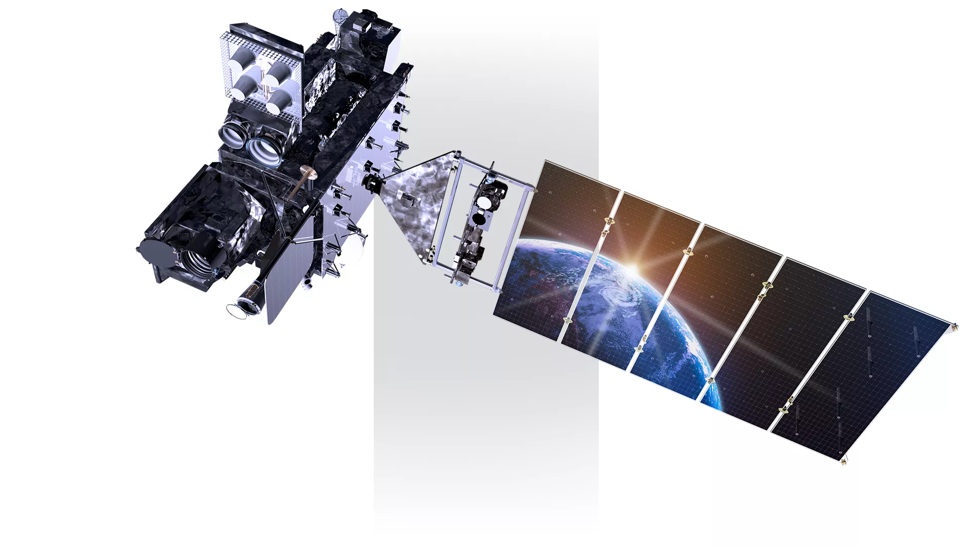
In 2016, the current generation of GOES launched. This series brought new state-of-the-art instruments like an advanced, high-resolution imager and the first lightning mapper flown in geostationary orbit. The satellites also gained the ability to concurrently provide a full disk image every 10 minutes, a contiguous United States image every five minutes, and two smaller, localized images every 60 seconds (or one domain every 30 seconds). For the first time, meteorologists could see the big picture while simultaneously zooming in on a specific weather event or environmental hazard.
The latest GOES brought revolutionary improvements, providing minute-by-minute information to forecasters, decision-makers and first responders to give early warning that severe weather is forming, monitor and track the movement of storms, estimate hurricane intensity, detect turbulence, and even spot fires before they are reported on the ground.
In 2017, Hurricane Maria knocked out radar in Puerto Rico just before landfall. With this critical technology disabled and a major hurricane approaching, forecasters utilized 30-second data from GOES-16 to track the storm in real time. The satellite’s rapid scanning rate allowed forecasters to analyze cloud patterns and understand Maria’s position and movement. High-resolution imagery provided a detailed look at the storm, allowing forecasters to discern the features within Maria’s eye and estimate its intensity.
The latest GOES also significantly improved fire detection and monitoring. In 2018, during California’s Camp Fire, GOES-16 played a crucial role in monitoring the fire’s progression and smoke plumes, assisting firefighting efforts. The satellite provided an extremely detailed look at fire conditions, quick detection of hot spots, and the ability to track the fire’s progression and spread in real time. GOES-16 tracked the fire’s movement and intensity even before ground crews could fully see it due to its thick smoke. Not only did the data help firefighters more effectively fight the fire, but it played a large role in keeping firefighters safe during the disaster.
Geostationary Extended Observations (GeoXO)
As NOAA celebrates the long legacy of the GOES satellites and we continue to rely on our “eyes in the sky” to help keep the one billion people who live in and work in the Americas safe, development of the future generation of geostationary satellites is underway. Scheduled for launch in the early 2030s, as the current GOES approach the end of their operational lifetime, Geostationary Extended Observations, or GeoXO, will provide new and improved observations of the atmosphere, weather and ocean. GeoXO will help address emerging environmental issues and improve forecasting and warning of severe weather and hazards well into the 2050s.
Media Resources
News
-
Lightning is a dangerous weather hazard that poses a significant threat to life and property. It…
-
LightningCast uses artificial intelligence (AI) to predict general locations where lightning is…
-
On June 25, 2024, GOES-U, the final satellite in NOAA’s GOES-R Series, launched from NASA’s Kennedy…
-
Since mid-May, NOAA satellites have been closely monitoring heat signatures and thick plumes of…