
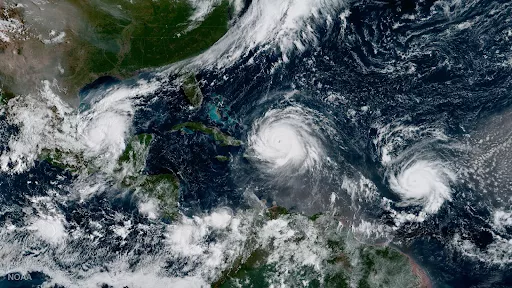
For 50 years, NOAA’s Geostationary Operational Environmental Satellites (GOES) have kept a constant vigil over the Western Hemisphere. These sentinels in the sky provide essential information to forecasters, first responders, emergency managers, local officials and the public about severe weather and hazards.
Each new generation of GOES has advanced our understanding of hurricanes and led to significant forecast and warning improvements, protecting lives and property through increasingly accurate, timely and reliable data.
As hurricane season begins, NOAA looks back at how far hurricane observations from geostationary orbit have come since 1975.