
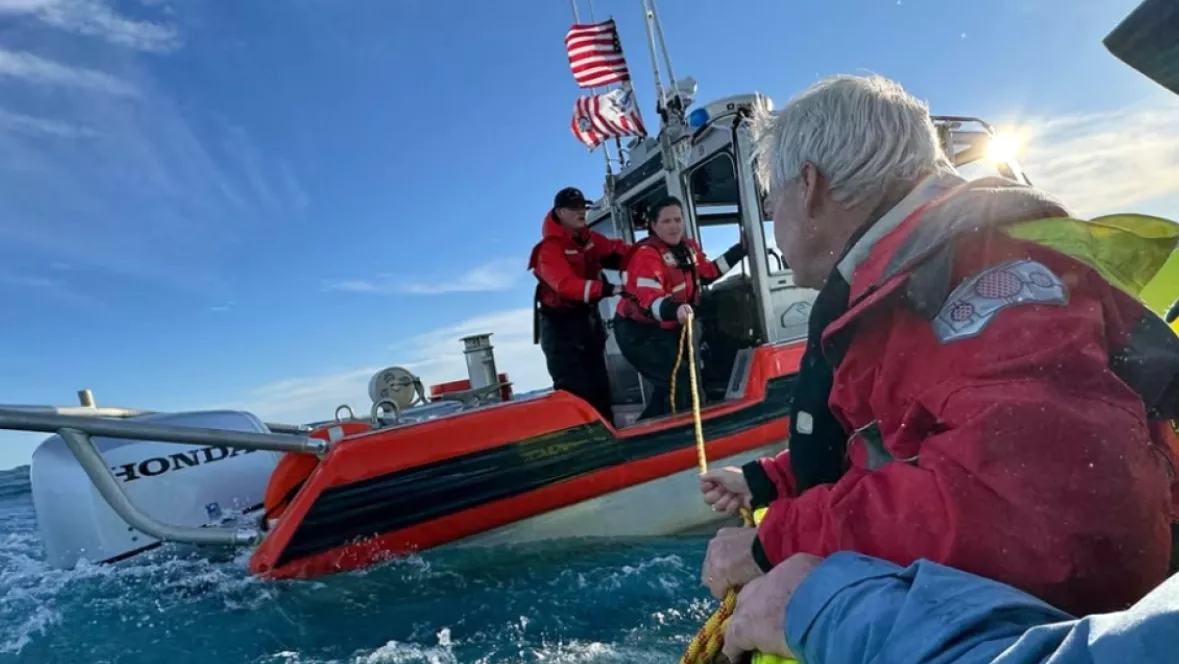
The U.S. Coast Guard rescued six people who activated an Emergency Position-Indicating Radio Beacon (EPIRB) after their 48-foot fishing vessel began to sink off the coast of Oak Island, North Carolina, on December 8, 2024. [Credit: U.S. Coast Guard]
The NOAA satellites that followed the moon’s shadow during the Total Solar Eclipse and tracked Hurricanes Helene and Milton in 2024 also played a critical role in saving lives. Last year, these satellites helped rescue 411 people from life-threatening situations in the U.S. and its surrounding waters.
NOAA’s polar-orbiting and geostationary satellites are integral to the global Search and Rescue Satellite Aided Tracking (COSPAS-SARSAT) system. This international network of satellites detects and locates distress signals transmitted by 406 MHz emergency beacons on aircraft, boats, and handheld Personal Locator Beacons (PLBs) anywhere in the world. Since its launch in 1982, COSPAS-SARSAT has supported over 50,000 rescues worldwide, including more than 10,871 in the U.S. and nearby waters.