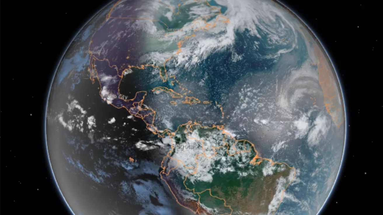
Our dynamic world is always changing. See what it looks like now from space via our live feeds.
Explore interactively Interactive Maps
SWFO-L1 will transmit data to Earth continuously in real-time, protecting vital infrastructure, economic interests, and national security.
Monitoring the sun NOAA's SWFO-L1
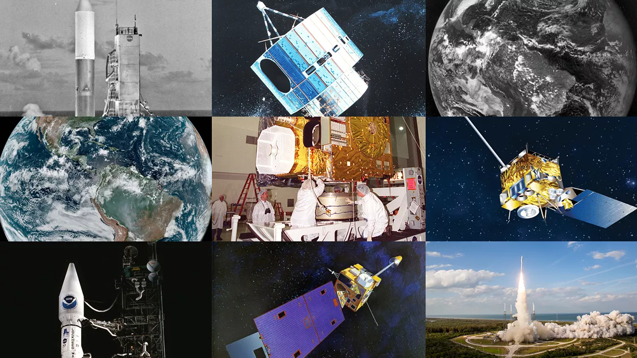
NOAA celebrates 50 years of its heralded Geostationary Operational Environmental Satellite program.
Fifty Years! 50 Years of GOES
Feature Stories
-
Feature Story
On June 25, 2024, GOES-U, the final satellite in NOAA’s GOES-R Series, launched from NASA’s Kennedy… -
Feature Story
For 50 years , NOAA’s Geostationary Operational Environmental Satellites (GOES) have kept a… -
Feature Story
River flooding poses a serious threat to communities across the United States, endangering roughly… -
Feature Story
The overarching term “tropical cyclone” describes powerful storms that form around the world, but…
Data & New Technology
Commercial Data Program
NESDIS assesses and acquires space-based observational weather data from the private sector.
Improving weather forecasts Commercial Data Program
Data Collections
NOAA collects the most up-to-date data about the atmosphere, land, and oceans.
Learn about data information Data Collections
Pathfinder Initiative
Help develop studies for future applications of mission data products.
Read about pathfinder initiative Pathfinder Initiative
News & Announcements
-
Satellite Snapshots
NOAA’s Joint Polar Satellite System (JPSS) satellites captured striking imagery of sediment runoff… -
Satellite Snapshots
NOAA's JPSS Program satellites captured flooding along the Ohio River on April 7, 2025. -
Announcement
In January 2025, NOAA/NESDIS completed a Phase 1 of the Radio Occultation (RO) Analysis of… -
Announcement
Chris Slocum, a research scientist with NOAA NESDIS’ Center for Satellite Applications and Research…


