
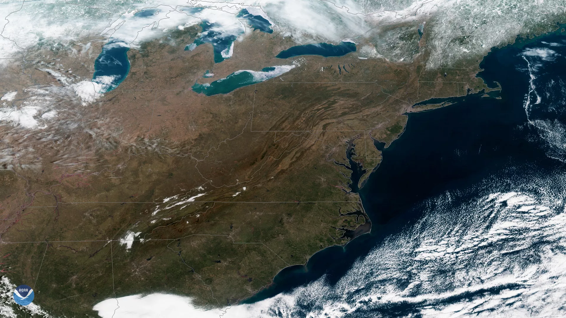
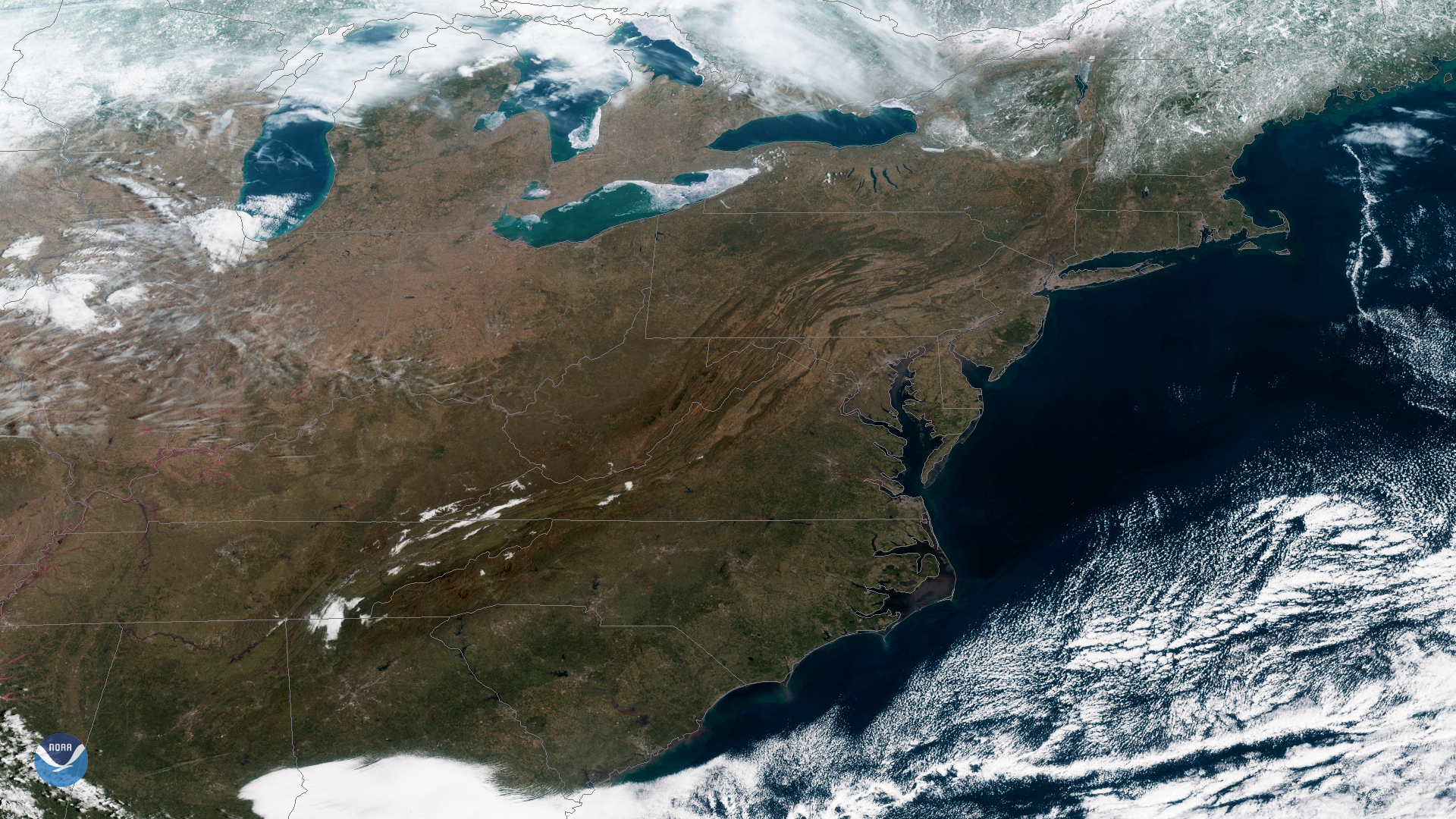
Since its launch, NOAA’s GOES East (GOES-16) satellite has demonstrated its critical capability for keeping our nation Weather Ready. Throughout the active 2017 hurricane season, GOES-16 delivered imagery with detail and clarity never achieved before - with four times greater resolution than previous NOAA satellites - and delivered this imagery faster than ever before - helping forecasters predict the path and intensification of deadly storms. These accurate and timely forecasts allowed for emergency managers to prepare for evacuations, map flood areas, and save lives. On February 27, 2018 GOES East captured this view of the eastern U.S. where skies have finally cleared after several days of clouds and rain.
On March 1st 2018, NOAA is set to launch the GOES-S satellite, which takes its place in orbit as GOES-17 and will later join GOES East as the sister satellite GOES West. The same consistency and coverage we depend on for the Atlantic Ocean region will now be provided for the Pacific Ocean region of the United States and the Western Hemisphere - all the way to New Zealand, helping monitor severe storms, wildfires, and daily weather patterns.