
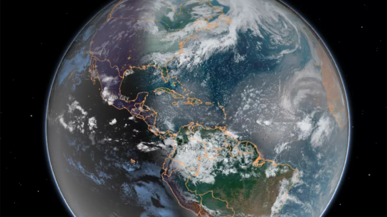
Our dynamic world is always changing. See what it looks like now from space via our live feeds.
Explore interactively Interactive Maps
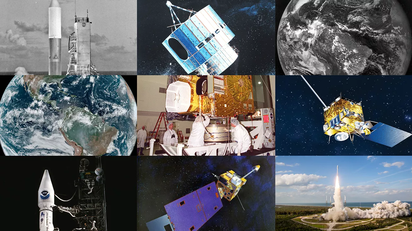
NOAA celebrates 50 years of its heralded Geostationary Operational Environmental Satellite program.
Fifty Years! 50 Years of GOES
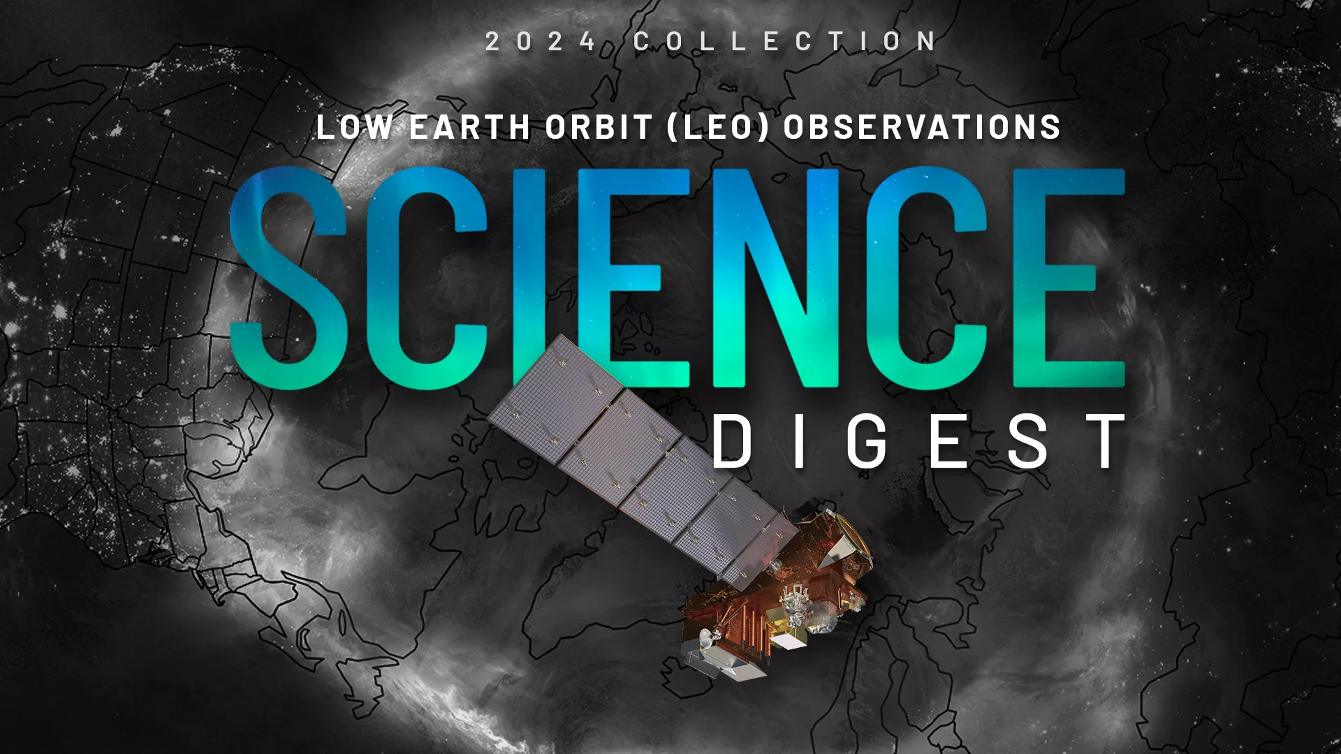
Explore the impact and applications of low earth orbit data and products.
View Digest 2024 LEO Science Digest
Feature Stories
-
NOAA's Argos-4 instrument will be launching on Oct. 6 from New Zealand.
-
NOAA’s JPSS-2 Environmental Satellite Arrives at Launch Site
-
Hurricane Andrew was the strongest and most devastating hurricane on record to hit southern Florida…
-
Rocket Arrives in California for NASA Launch of Polar-Orbiting Satellite
Data & New Technology
Data Purchases
NOAA is taking concrete steps to support the development of commercial markets for space-based weather data.
Visit the programs page Data Purchases
Data Collections
NOAA collects the most up-to-date data about the atmosphere, land, and oceans.
Learn about data information Data Collections
Pathfinder Initiative
Help develop studies for future applications of mission data products.
Read about pathfinder initiative Pathfinder Initiative
News & Announcements
-
NASA Awards Contracts for NOAA Ocean Color Instrument Phase A Study
-
NOAA Releases RFP for Commercial Space Weather Data Pilot
-
NOAA has awarded the Fairbanks Command and Data Acquisition Station Operations and Maintenance…
-
On May 11, 2022, NOAA shared the first images of the Western Hemisphere from its GOES-18 satellite.
-
GOES East captured this dynamic imagery of massive grayish-white smoke plumes emanating from the…
-
Fire season in the Southwest and High Plains arrived early this year, fueled by gusty winds, low…
-
The COSMIC-2 mission is helping scientists better understand and predict space weather events.