
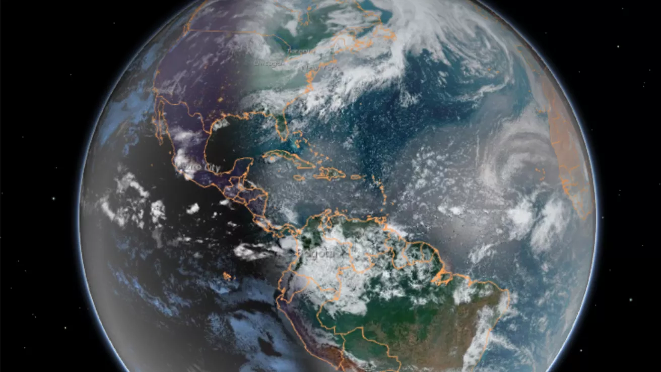
Our dynamic world is always changing. See what it looks like now from space via our live feeds.
Explore interactively Interactive Maps

NOAA celebrates 50 years of its heralded Geostationary Operational Environmental Satellite program.
Fifty Years! 50 Years of GOES
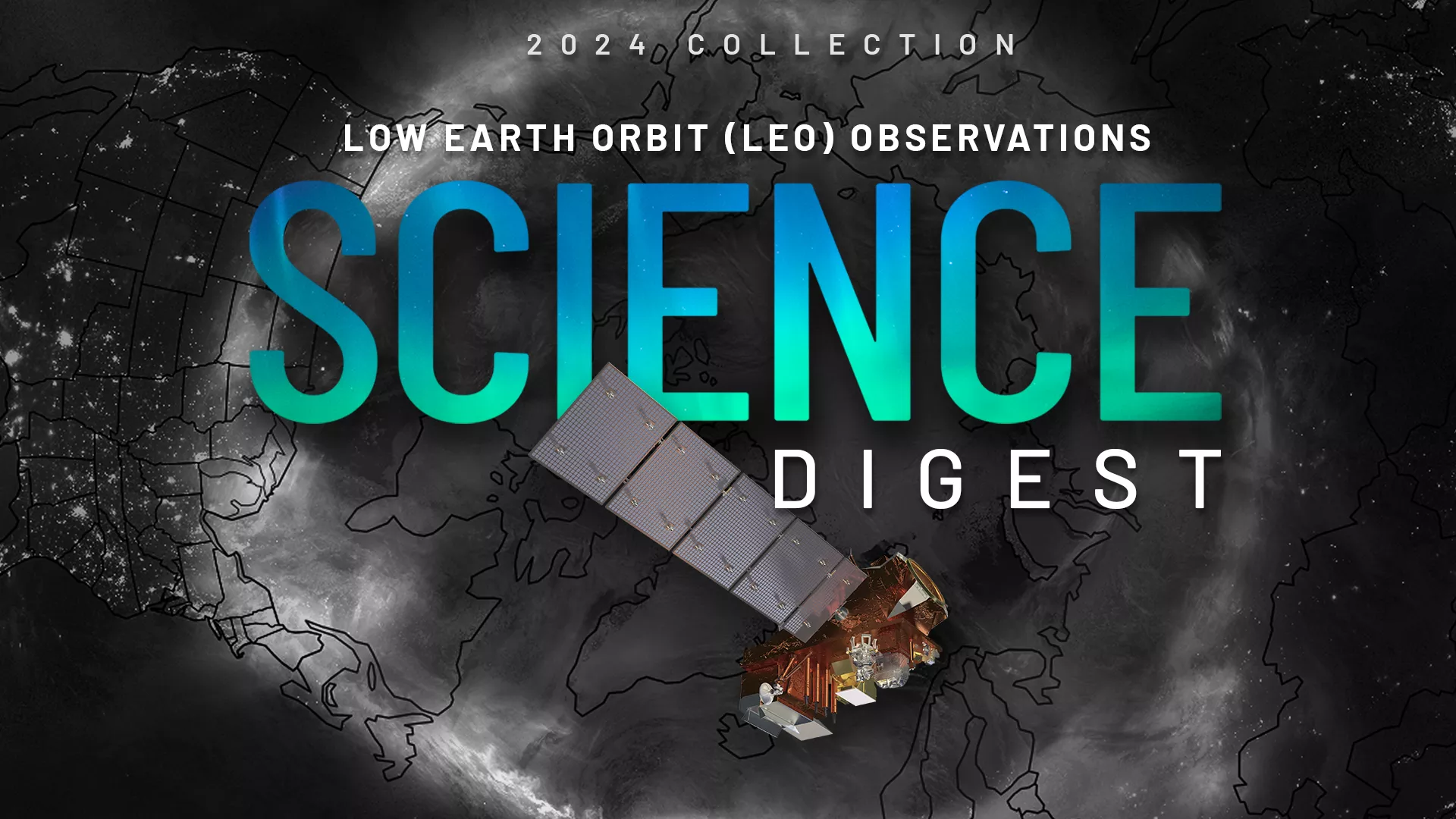
Explore the impact and applications of low earth orbit data and products.
View Digest 2024 LEO Science Digest
Feature Stories
-
Mid-June in Utah usually marks the tail end of the most fertile time of year for crops.
-
Lightning is a major hazard. It’s a significant threat to life and property, can ignite wildfires,…
-
The La Soufriere volcano on St. Vincent Island in the Caribbean erupted in an explosive fashion in…
Data & New Technology
Data Purchases
NOAA is taking concrete steps to support the development of commercial markets for space-based weather data.
Visit the programs page Data Purchases
Data Collections
NOAA collects the most up-to-date data about the atmosphere, land, and oceans.
Learn about data information Data Collections
Pathfinder Initiative
Help develop studies for future applications of mission data products.
Read about pathfinder initiative Pathfinder Initiative
News & Announcements
-
NOAA plans to issue a Request for Proposal (RFP) to explore the potential of acquiring commercial…
-
NOAA satellites have been closely monitoring the late-season winter storm that brought snow to…
-
NOAA successfully completed a year-long, first-ever Cooperative Research and Development Agreement…
-
Spring has officially sprung here in the Northern Hemisphere—while in the Southern Hemisphere,…
-
On March 1, 2022, NOAA’s newest geostationary satellite, GOES-T, successfully lifted off on a…