
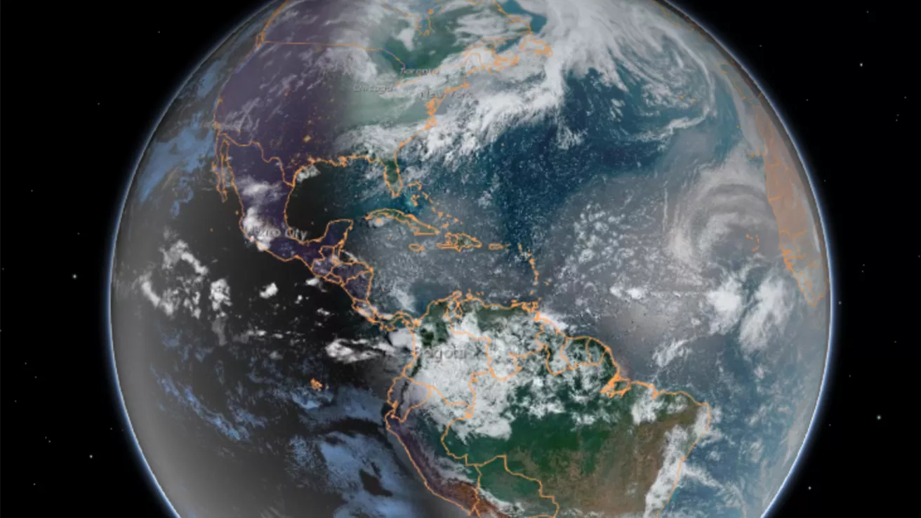
Our dynamic world is always changing. See what it looks like now from space via our live feeds.
Explore interactively Interactive Maps
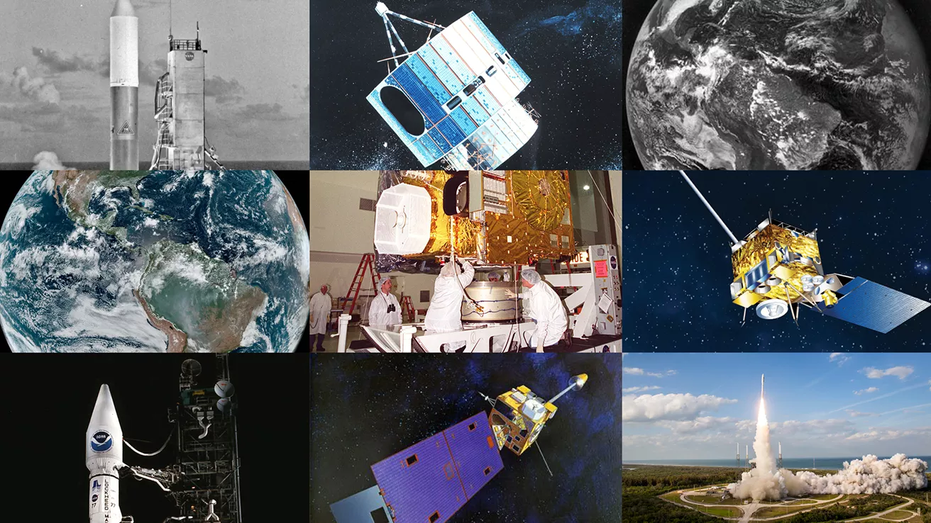
NOAA celebrates 50 years of its heralded Geostationary Operational Environmental Satellite program.
Fifty Years! 50 Years of GOES
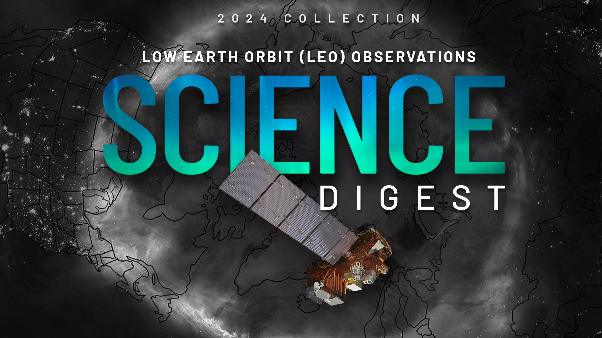
Explore the impact and applications of low earth orbit data and products.
View Digest 2024 LEO Science Digest
Feature Stories
-
As people across the country welcomed the New Year, scientists at the National Environmental…
-
From all of us celebrating on Earth—and in orbit—here’s to a new year of global cooperation,…
-
Here are NOAA's most captivating satellite images of 2024, based on your votes!
-
NOAA’s newest satellite, GOES-19, provided a beautiful view of Earth during the winter solstice.
Data & New Technology
Data Purchases
NOAA is taking concrete steps to support the development of commercial markets for space-based weather data.
Visit the programs page Data Purchases
Data Collections
NOAA collects the most up-to-date data about the atmosphere, land, and oceans.
Learn about data information Data Collections
Pathfinder Initiative
Help develop studies for future applications of mission data products.
Read about pathfinder initiative Pathfinder Initiative
News & Announcements
-
NOAA-21 captured imagery of the devastating power loss across East Texas following Hurricane Beryl’…
-
NOAA’s GOES East (GOES-16) satellite has been carefully monitoring Hurricane Beryl as it travels…
-
Cool imagery from the GOES satellite series, a retrospectiveNOAA’s Geostationary Operational…
-
The David Johnson Award is presented by the National Space Club in honor of the first Administrator…
-
GOES-U, the latest of NOAA’s four advanced geostationary satellites, soared into orbit on a SpaceX…
-
NASA, on behalf of NOAA, has selected Lockheed Martin Corp. of Littleton, Colorado, to build the…
-
In May 2024, NOAA SciJinks and NASA Space Place released its monthly art challenge! They called on…