

Our dynamic world is always changing. See what it looks like now from space via our live feeds.
Explore interactively Interactive Maps

NOAA celebrates 50 years of its heralded Geostationary Operational Environmental Satellite program.
Fifty Years! 50 Years of GOES
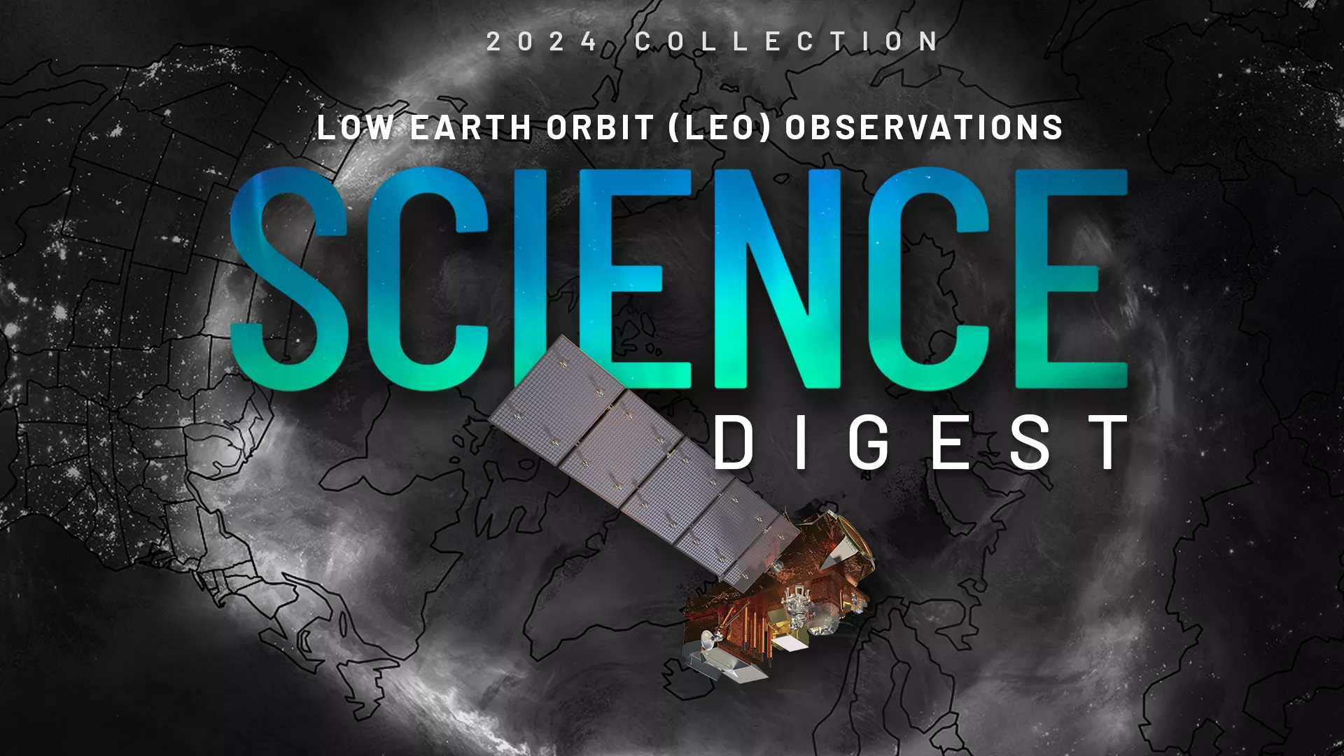
Explore the impact and applications of low earth orbit data and products.
View Digest 2024 LEO Science Digest
Feature Stories
-
NASA has handed operations of the NOAA-21 satellite over to NOAA's Office of Satellite and…
-
On April 6 (4/6), we celebrate SARSAT Beacon Awareness Day (#406Day).
-
The Storm of the Century: A Look Back from NOAA Satellites
-
On Feb.9, 2023, an ozone-measuring instrument on the NOAA-21 satellite opened its doors and, about…
Data & New Technology
Data Purchases
NOAA is taking concrete steps to support the development of commercial markets for space-based weather data.
Visit the programs page Data Purchases
Data Collections
NOAA collects the most up-to-date data about the atmosphere, land, and oceans.
Learn about data information Data Collections
Pathfinder Initiative
Help develop studies for future applications of mission data products.
Read about pathfinder initiative Pathfinder Initiative
News & Announcements
-
After a slow start to the 2022 Atlantic hurricane season, activity has ramped up with the first two…
-
Lightning is a major public safety threat. It can strike at any time, but it is most common in the…
-
Hundreds of miles apart, but connected by the same weather system, urban St. Louis and rural…
-
NESDIS Announces First-of-its-Kind Enterprise Cloud Award
-
NASA Awards Contracts for NOAA GeoXO Spacecraft Phase A Study
-
Temperatures have soared to record-breaking highs across Europe. In the United Kingdom, at least 34…
-
NOAA today awarded three Commercial Weather Data Pilot (CWDP) space weather contracts.