On behalf of the National Oceanic and Atmospheric Administration (NOAA), NASA has selected two firms for the Geostationary Extended Observations (GeoXO) Spacecraft Phase A Study. These contracted firms will help meet the objectives of NOAA’s GeoXO Program.
The firms selected are Lockheed Martin Space of Littleton, Colorado, and Maxar Space LLC of Palo Alto, California. The total value of each of these ten-month firm-fixed-price contracts is approximately $5 million. The work will be performed at the contractors’ facilities.
The principal purpose of these contracts is to provide a definition-phase study of a GeoXO spacecraft. The selected firms will develop the spacecraft concept, mature necessary technologies, and help define the spacecraft’s potential performance, risks, costs, and development schedule. The results of the study will be used to set performance requirements for the spacecraft implementation contract, which is planned for award in 2024.
NOAA operates a constellation of geostationary environmental satellites to protect life and property across the United States. The GeoXO Program is the follow-on to the Geostationary Operational Environmental Satellites – R (GOES-R) Series Program. The GeoXO satellites plan to improve upon the imagery provided by the GOES-R Series, continue lightning mapping observations, and introduce new technologies, including hyperspectral infrared sounding, ocean color, and atmospheric composition instruments.
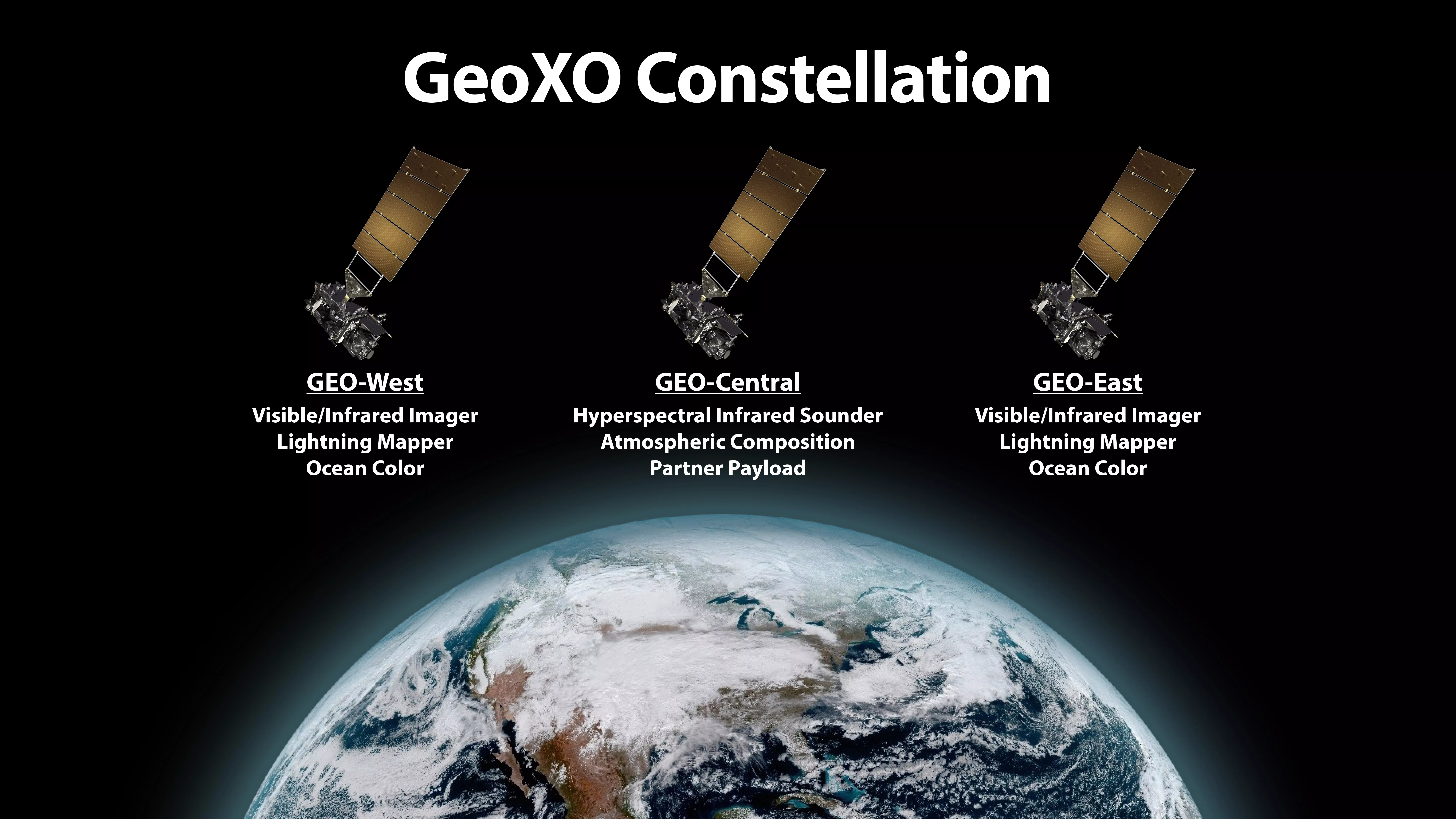
NOAA is currently planning a three-satellite GeoXO operational constellation. Spacecraft in the current GOES-East and GOES-West positions will carry an imager, lightning mapper, and ocean color instrument, and a centrally-located spacecraft will carry a sounder and atmospheric composition instrument. This constellation can also accommodate a partner payload on the spacecraft flying in the central location.
NOAA’s GeoXO satellite system is the groundbreaking mission that will advance Earth observations from geostationary orbit. The mission will supply vital information to address major environmental challenges of the future in support of weather, ocean, and climate operations in the United States. The GeoXO mission will continue and expand observations provided by the GOES-R series of satellites. GeoXO will bring new capabilities to address emerging environmental issues and challenges that threaten the security and well-being of every American. NOAA is working to ensure these critical observations are in place by the early 2030s when the GOES-R Series nears the end of its operational lifetime.
The GeoXO mission is a collaborative partnership between NOAA and NASA. NOAA funds, operates, and manages the mission, and NASA's Goddard Space Flight Center in Greenbelt, Maryland, manages the acquisition of the Phase A Formulation contracts.
For more information about the GeoXO mission, please visit:
The Geostationary Extended Observations page or email nesdis.pa@noaa.gov.
