
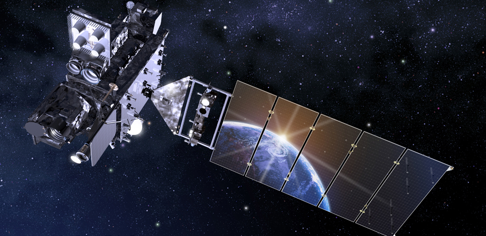
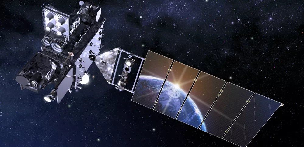
NOAA’s GOES-18 launched on March 1, 2022, from Cape Canaveral Space Force Station in Florida. GOES-18 is the third satellite in the GOES-R Series, the Western Hemisphere’s most advanced weather-observing and environmental-monitoring system.
As our sentinels in the sky, NOAA’s GOES satellites help protect the one billion people who live and work in the Americas. Data from GOES-18 helps meteorologists see the big picture as well as read the fine print, providing critical real-time information before, during and after severe weather and disasters strike.
GOES-18 provides advanced imagery and atmospheric measurements, real-time mapping of lightning activity, and monitoring of space weather.
Fact Sheets and Infographics
- Mission Overview
- Advanced Baseline Imager
- Geostationary Lightning Mapper
- GOES-R Space Weather Instruments
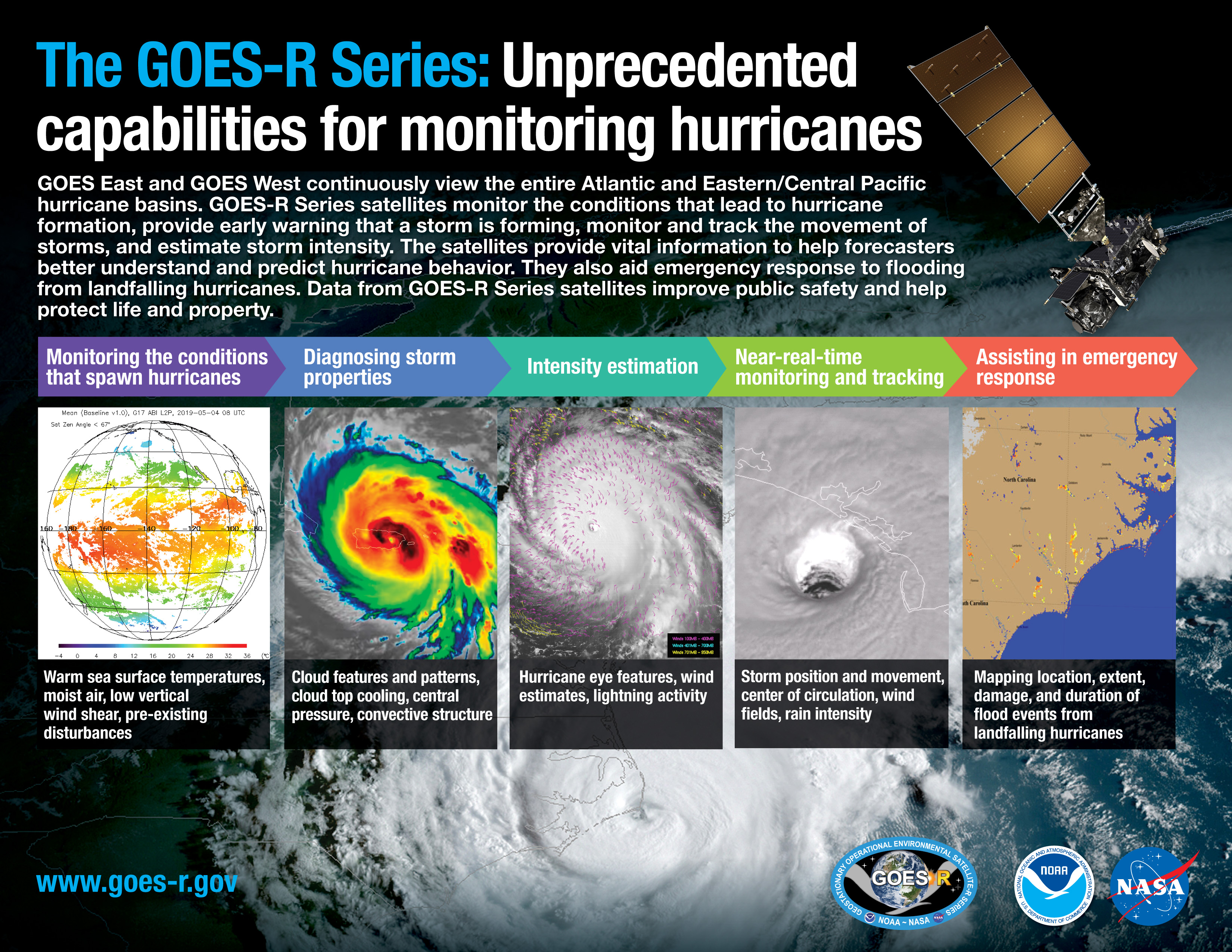
- The GOES-R Series: Unprecedented Capabilities for Monitoring Hurricanes
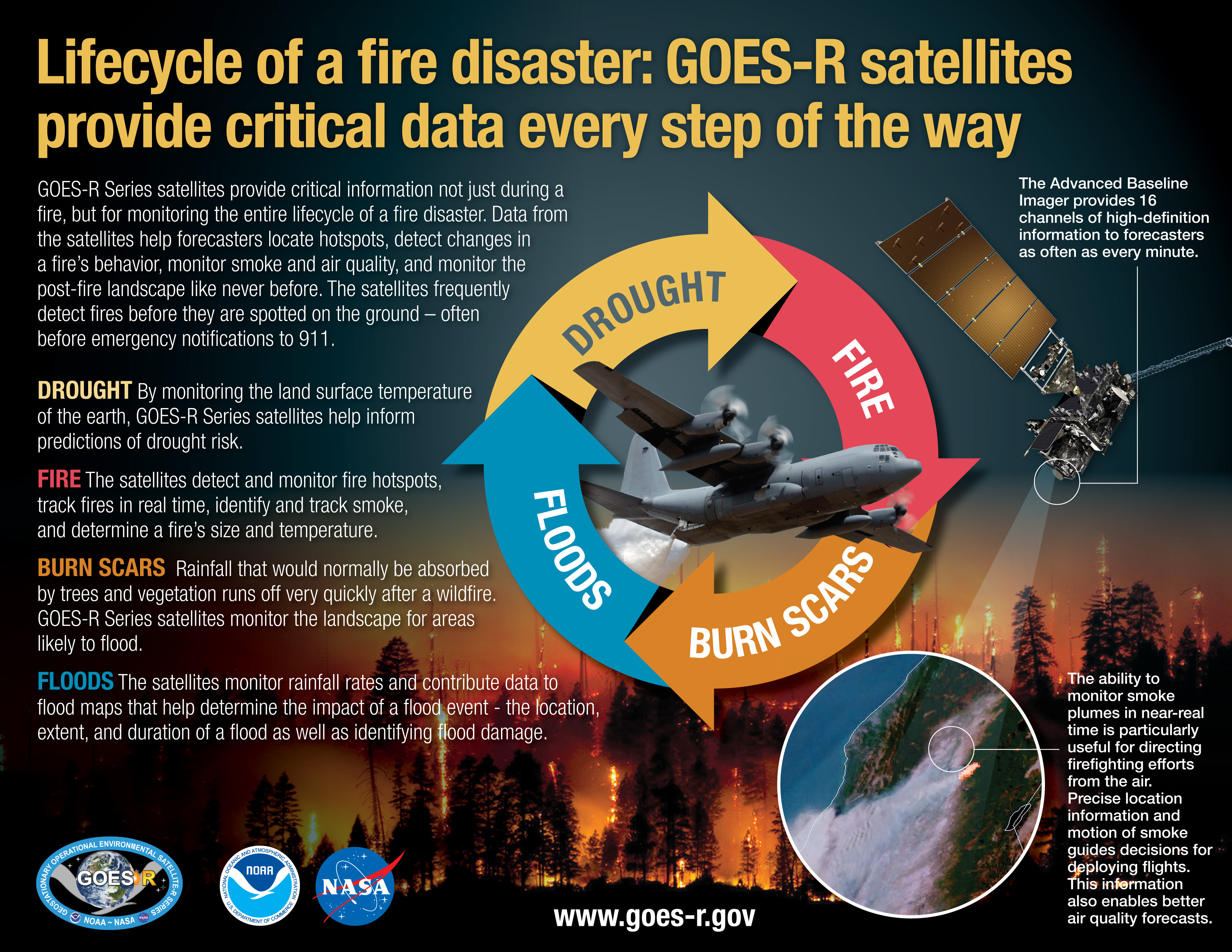
- Lifecycle of a Fire Disaster: GOES-R Satellites Provide Critical Data Every Step of the Way
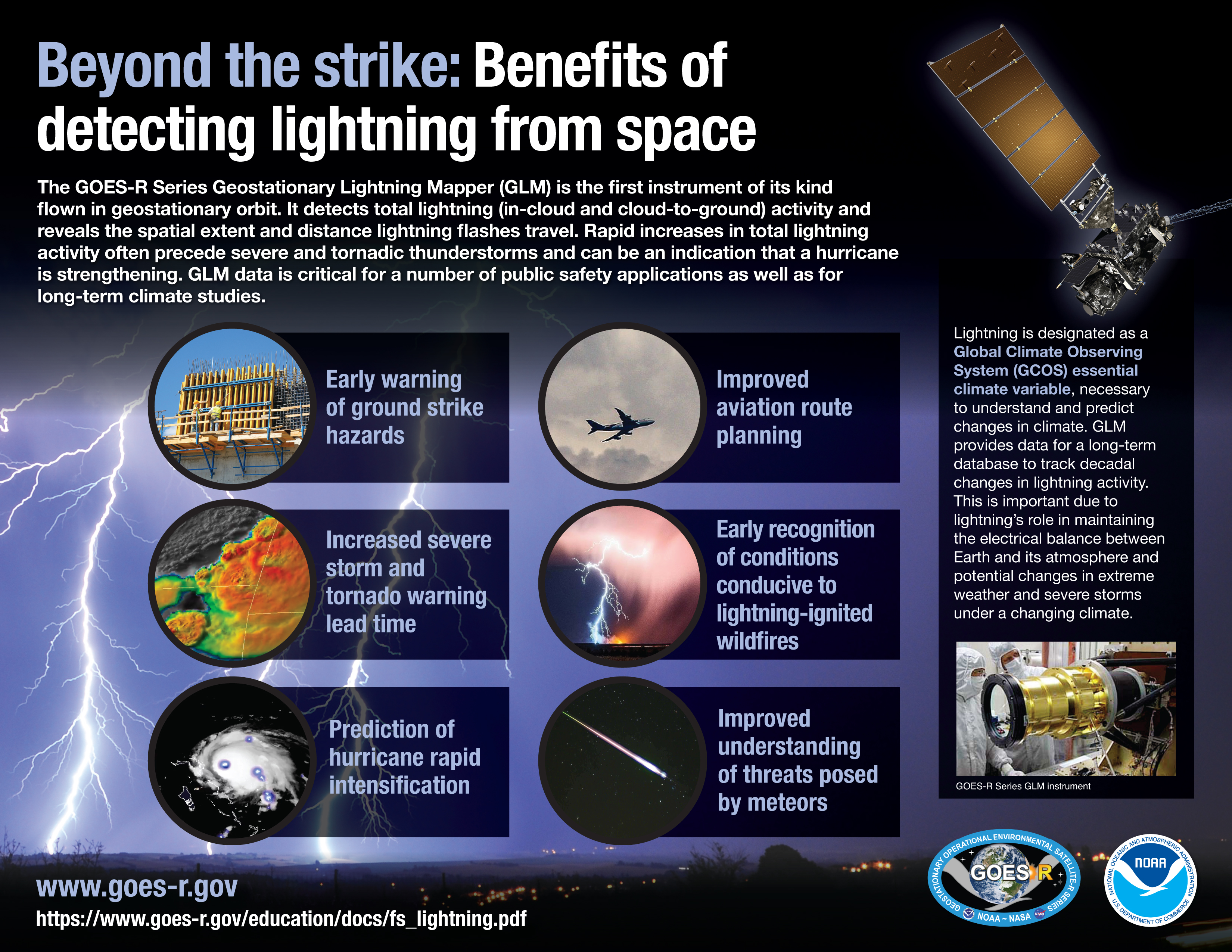
- Beyond the Strike: Benefits of Detecting Lightning from Space
- Atlas V 541 Launch Vehicle
GOES-T Image Galleries
GOES-T Program Team
Learn about the GOES program team.
Media Contacts
John Leslie
Phone: 301-713-0214
John Bateman
Phone: 301-713-9604
Email: nesdis.pa@noaa.gov
Recent News
-
Feature Story
LightningCast uses artificial intelligence (AI) to predict general locations where lightning is… -
Feature Story
For 50 years , NOAA’s Geostationary Operational Environmental Satellites (GOES) have kept a… -
Earth from Orbit
NOAA satellites have been monitoring a potent and complex spring weather pattern responsible for… -
Feature Story
Despite the hazards inherent to air travel, U.S. civil and military aviation is by far the safest… -
Feature Story
NOAA contributes 90% of the weather information used by the defense and intelligence communities.… -
Feature Story
NOAA satellites provide data that Americans use daily. Maintaining this “environmental intelligence… -
Earth from Orbit
NOAA satellites have been monitoring Earth’s weather and environment since 1970, which also… -
Feature Story
From their orbits, NOAA satellites can play a vital role in detecting and tracking severe weather,…