A publication that highlights the broad applications and benefits of low earth orbit observations.
2025 Science Digest LEO Science Digest
SWFO-L1 will transmit data to Earth continuously in real-time, protecting vital infrastructure, economic interests, and national security.
Monitoring the sun NOAA's SWFO-L1
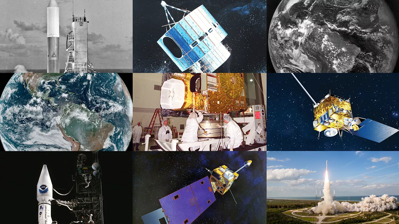
NOAA celebrates 50 years of its heralded Geostationary Operational Environmental Satellite program.
Fifty Years! 50 Years of GOES
Feature Stories
-
Feature Story
GOES-U, the last of NOAA’s advanced GOES-R series of satellites, arrived safely this week at the… -
Feature Story
GOES-U, the Western Hemisphere’s most advanced weather-observing and environmental monitoring… -
Feature Story
Dr. James Spann recently joined NOAA’s Office of Space Weather Observations (SWO) as its new Senior… -
Feature Story
Twenty-five years ago, Hurricane Mitch formed, and was one of the strongest and most intense…
Data & New Technology
Commercial Data Program
NESDIS assesses and acquires space-based observational weather data from the private sector.
Improving weather forecasts Commercial Data Program
Data Collections
NOAA collects the most up-to-date data about the atmosphere, land, and oceans.
Learn about data information Data Collections
Joint Venture Partnerships
Leveraging new data sources and exploring new and innovative technologies.
Learn about the joint venture partnerships Joint Venture Partnerships
News & Announcements
-
Earth from Orbit
Parts of the Midwest are cleaning up after thunderstorms barreled through the region on the night… -
Satellite Snapshots
NOAA-21 captured imagery of the devastating power loss across East Texas following Hurricane Beryl’… -
Satellite Snapshots
NOAA’s GOES East (GOES-16) satellite has been carefully monitoring Hurricane Beryl as it travels…


