
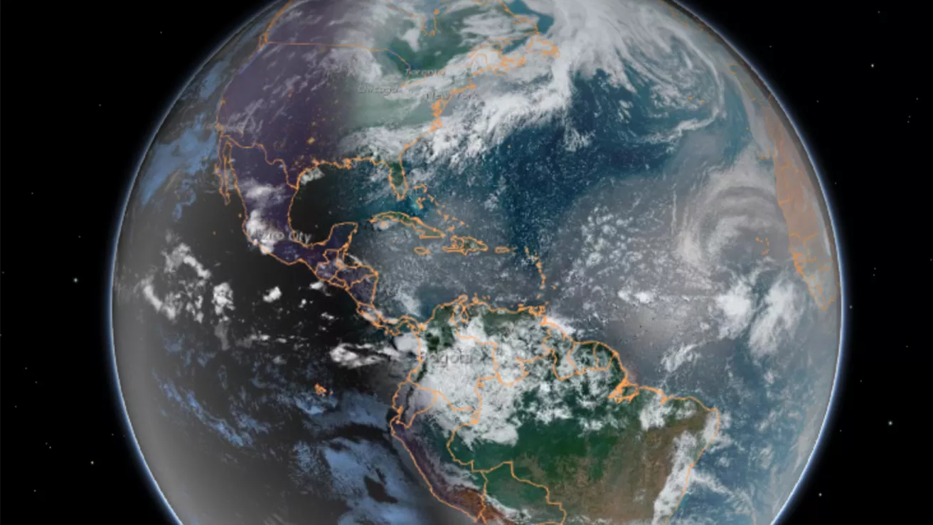
Our dynamic world is always changing. See what it looks like now from space via our live feeds.
Explore interactively Interactive Maps
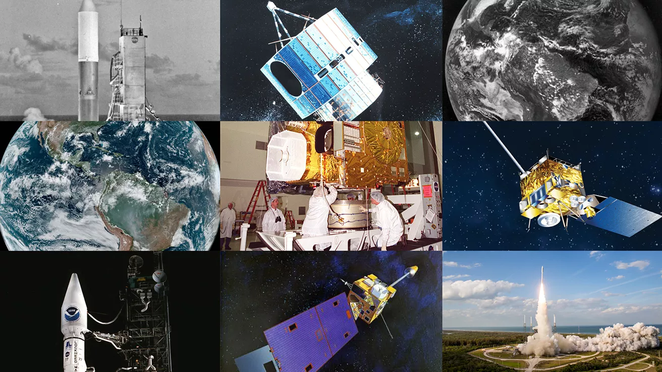
NOAA celebrates 50 years of its heralded Geostationary Operational Environmental Satellite program.
Fifty Years! 50 Years of GOES
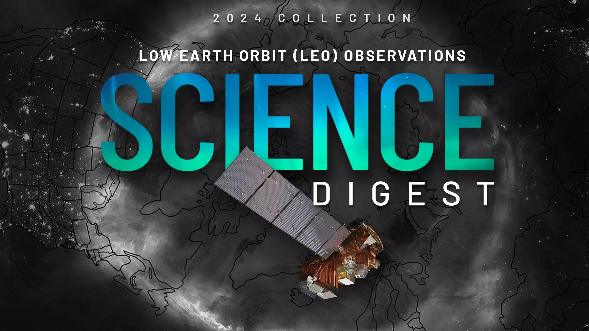
Explore the impact and applications of low earth orbit data and products.
View Digest 2024 LEO Science Digest
Feature Stories
-
The JPSS VIIRS Day/Night Band, with its low-light sensitivity, captures auroras and shows how solar…
-
The Johns Hopkins Applied Physics Laboratory (APL) has released the results of the nation’s first…
-
Here is a list of some of the most memorable solar events that have affected us here on Earth.
-
The March 2025 three-month summaries of temperature and precipitation impacts and outlooks are now…
Data & New Technology
Data Purchases
NOAA is taking concrete steps to support the development of commercial markets for space-based weather data.
Visit the programs page Data Purchases
Data Collections
NOAA collects the most up-to-date data about the atmosphere, land, and oceans.
Learn about data information Data Collections
Pathfinder Initiative
Help develop studies for future applications of mission data products.
Read about pathfinder initiative Pathfinder Initiative
News & Announcements
-
NOAA’s Joint Polar Satellite System (JPSS) satellites captured striking imagery of sediment runoff…
-
NOAA's JPSS Program satellites captured flooding along the Ohio River on April 7, 2025.
-
In January 2025, NOAA/NESDIS completed a Phase 1 of the Radio Occultation (RO) Analysis of…
-
Chris Slocum, a research scientist with NOAA NESDIS’ Center for Satellite Applications and Research…
-
NASA, on behalf of the National Oceanic and Atmospheric Administration (NOAA), has awarded a…
Events
-
May 20, 20259:00am - 3:30pmLearn about NOAA’s next generation satellite capabilities to monitor our nation’s abundant natural…