
Improving Terrestrial Land Monitoring Capabilities Through New Satellite Technology
Get updates about new data available, satellite instrument development progress, and provide feedback on your changing needs and challenges.
Pre-registration requested for virtual; Required for in-person attendance. In-Person U.S. Citizens Only
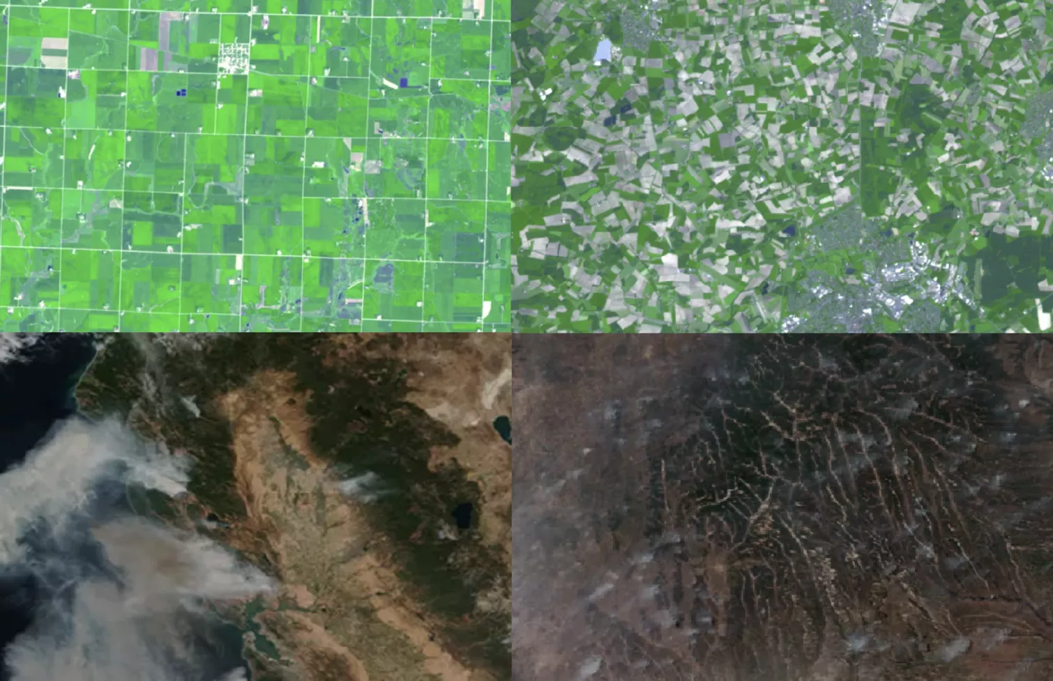
Learn about NOAA’s next generation satellite capabilities to monitor our nation’s abundant natural ecosystems. Topics will include land cover/land use change, agricultural and forestry monitoring, fire detection, spread, and emissions, flooding, inundation and drought, crop condition, phenology and yield, as well as lightning, atmospheric sounding and composition, for agriculture, forestry and other terrestrial ecosystems.
This event will focus on:
- Several use cases
- Identifying user needs and requirements for this upcoming mission
- Advancing engagement and readiness for the newest and next generation satellites
Context: In 2020 thematic workshops were held to determine user needs and develop requirements for new instruments planned for deployment on the next generation of NOAA geostationary satellites, GeoXO. Since then, many new technologies, products, and services have become available. The technology and information landscape is expected to evolve rapidly, underscoring the importance of continued stakeholder engagement to ensure that current and future NOAA products and services are interoperable and impactful.
We look forward to your participation and feedback as we continue to guide the production of new data products and future instrument requirements.
Agenda
| Time | Title | Speaker |
|---|---|---|
| 9:00-9:10 AM | Welcome | Andy Latto, GeoXO User Engagement Lead, NOAA/NESDIS |
| 9:10-9:35 AM | Current state of NOAA Satellite Land and Agriculture Applications and Decision Making | Rick Mueller, Section Head, Research and Development Division, Spatial Analysis Research Section, USDA |
| 9:35-9:55 AM | GEO Update | Andy Heidinger, GEO Senior Scientist, NOAA/NESDIS |
| 9:55-10:15 AM | LEO Update | Dr. Satya Kalluri, Senior Scientist, NOAA/LEO |
| 10:15-10:25 AM | Q & A | |
| 10:25-10:35 AM | Break | |
| 10:35-10:50 AM | Using GLM observations to improve the safety and effectiveness of wildfire response | Dr. Scott Rudlosky, Physical Scientist, NOAA/GeoXO |
| 10:50-11:05 AM | Quantifying Soybean Yield Loss from Satellite-Constrained Ozone Exposure Assessment | Daniel Tong, Director, Center for Satellite and Earth System Research, George Mason University |
| 11:05-11:20 AM | Novel, hyperspectral-enabled terrestrial land monitoring capabilities from NASA’s PACE mission | Dr. Morgaine McKibben, Senior Research Scientist, NASA Goddard |
| 11:20-11:35 AM | Data Formats and Access | Lee Byerle, Total Operational Weather Readiness with Satellites (TOWR-S) |
| 11:35-11:45 AM | Q & A | |
| 11:45 AM -12:40 PM | Break | |
| 12:40-14:00 PM | Practitioner Use Cases | 10-15-min each, including Q and A |
| Trending agricultural research using satellite and other remote sensing data | Mike Cosh Ph.D., USDA/Agricultural Research Service/Research Hydrologist | |
| The future of crop yield monitoring without MODIS | David Johnson, USDA/National Agricultural Statistics Service/Geographer | |
| USGS Land and Agricultural User Needs Supported by the GeoXO Mission | Ellen Wengert, KBR support to the USGS National Land Imaging Program | |
| Operational soil moisture monitoring for crop progress reporting via CropCASMA SMAP | Zhengwei Yang Ph.D., USDA Senior Geographer | |
| Satellite Data Needs for Agriculture | Dr. Chris Justice UMD, NASA Harvest & GEOGLAM Co-Chair | |
| Estimating terrestrial carbon dioxide and water fluxes in near-real time using GOES-R: progress to date and looking forward to GeoXO | Dr. Paul Stoy, University of Wisconsin-Madison) | |
| 14:00-14:30 PM | Practitioner Panel Discussion | |
| 14:30-14:40 PM | Break | |
| 14:40-14:55 PM | GeoXO User Engagement and User Readiness Plans | Andy Latto, Maurice McHugh, PhD, Acting GOES-R Data Operations Manager, Future Capabilities Manager |
| 14:55-15:30 PM | Stakeholder Roundtable | Andy Latto, Andy Heidinger, Rick Meuller, and Lee Byerle |
| 15:30-15:40 PM | Closing Remarks |