
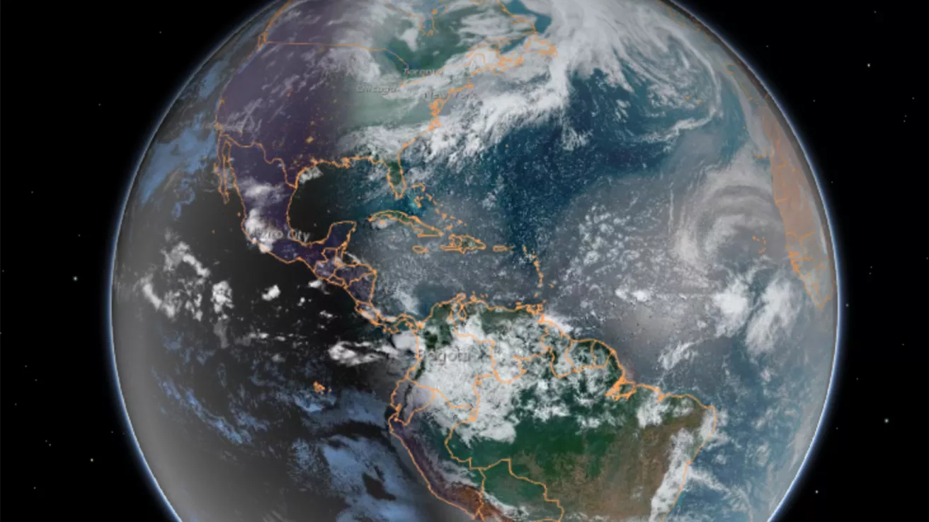
Our dynamic world is always changing. See what it looks like now from space via our live feeds.
Explore interactively Interactive Maps
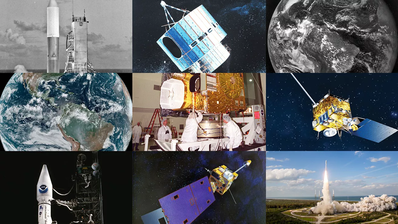
NOAA celebrates 50 years of its heralded Geostationary Operational Environmental Satellite program.
Fifty Years! 50 Years of GOES
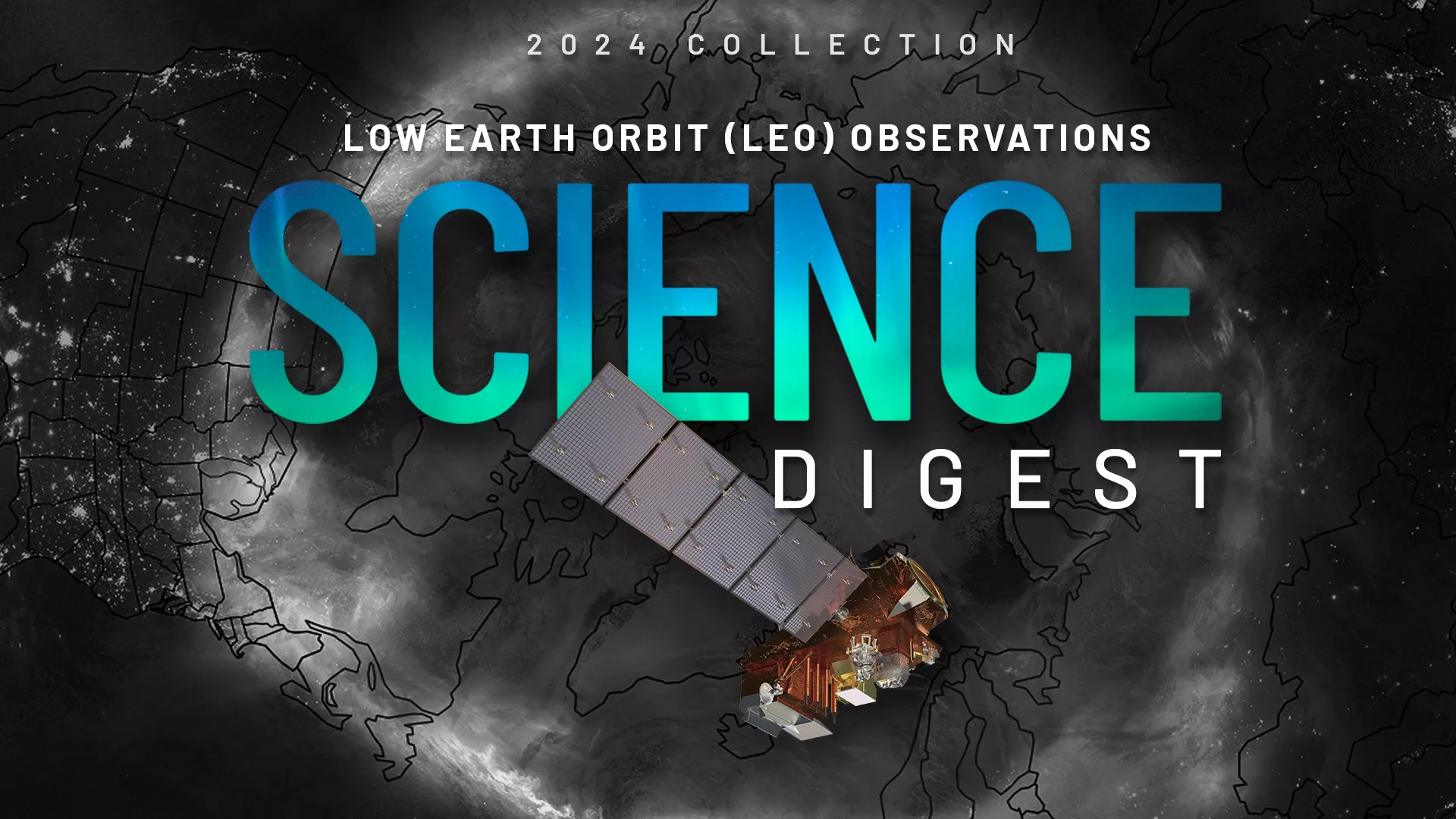
Explore the impact and applications of low earth orbit data and products.
View Digest 2024 LEO Science Digest
Feature Stories
-
NESDIS Intern, Aurora Baker, has improved NOAA's Data In the Classroom program and presented…
-
Innovative use of NOAA’s geostationary satellites (GOES) has given scientists a new way to detect…
-
On Oct. 16, 2024, NASA’s Goddard Space Flight Center in Greenbelt, Maryland celebrated an early 10…
-
As climate change increases flood risks, accurate forecasting and resilience tools are more…
Data & New Technology
Data Purchases
NOAA is taking concrete steps to support the development of commercial markets for space-based weather data.
Visit the programs page Data Purchases
Data Collections
NOAA collects the most up-to-date data about the atmosphere, land, and oceans.
Learn about data information Data Collections
Pathfinder Initiative
Help develop studies for future applications of mission data products.
Read about pathfinder initiative Pathfinder Initiative
News & Announcements
-
NOAA’s GOES East (GOES-16) satellite watched severe thunderstorms fire up along a dry line situated…
-
NOAA's GeoXO series of geostationary satellites, currently in development, will include…
-
NASA, on behalf of the National Oceanic and Atmospheric Administration (NOAA), has selected BAE…
-
NOAA’s GOES East captured Texas storms from above in this visible imagery, which also shows…
-
NOAA’s JPSS Program satellites captured imagery of the stunning auroras that were visible in…
-
NOAA’s GOES East (GOES-16) satellite watched severe thunderstorms push across the Midwest that…
-
NASA Selects BAE Systems to Develop Air Quality Instrument for NOAA