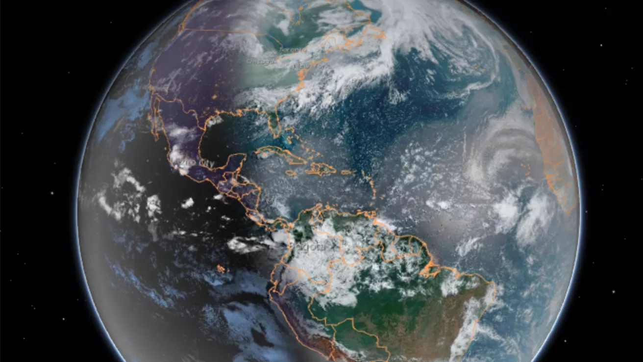
Our dynamic world is always changing. See what it looks like now from space via our live feeds.
Explore interactively Interactive Maps
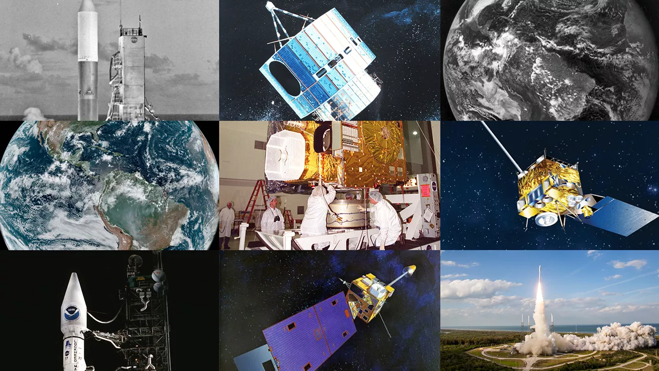
NOAA celebrates 50 years of its heralded Geostationary Operational Environmental Satellite program.
Fifty Years! 50 Years of GOES
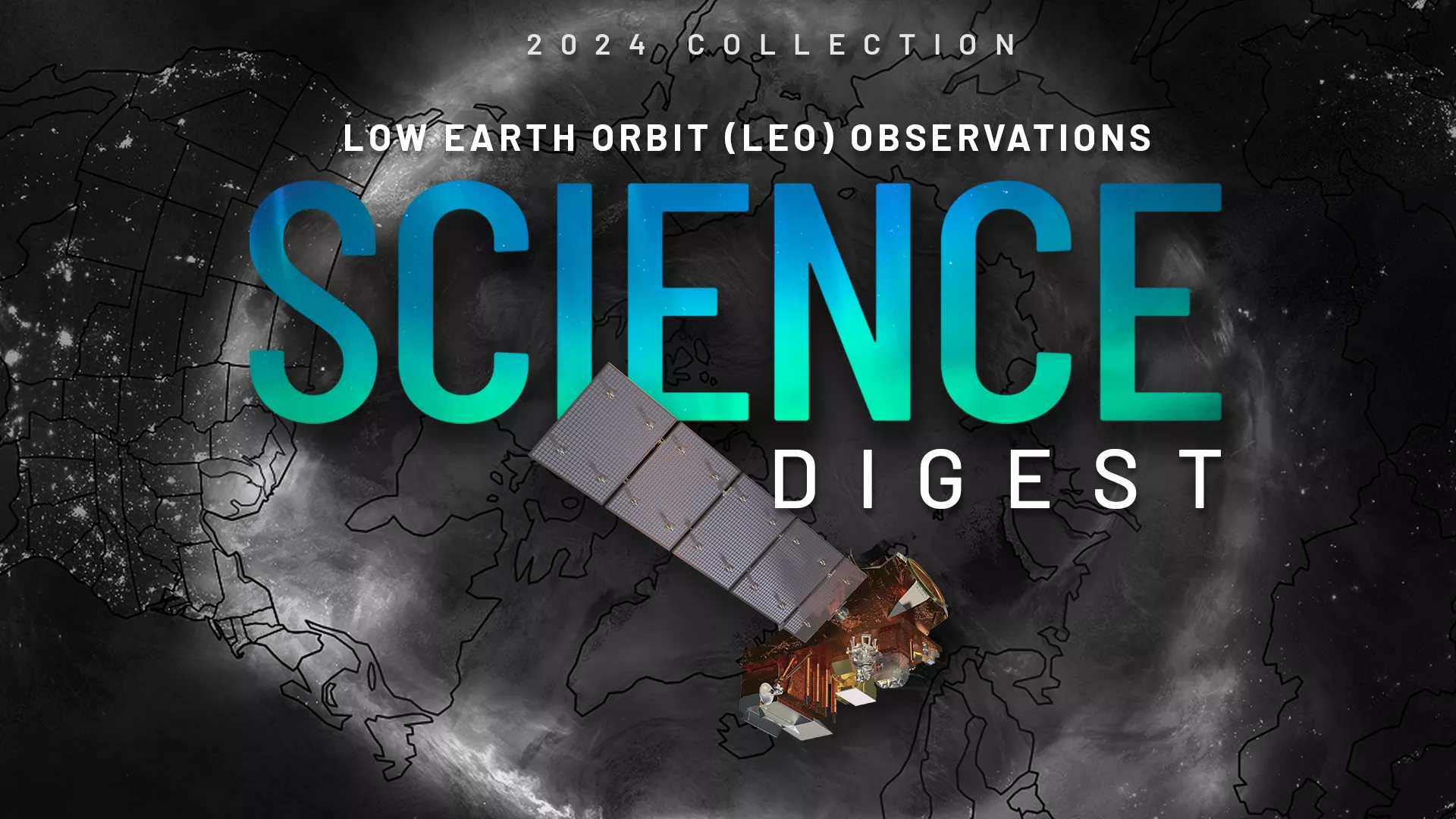
Explore the impact and applications of low earth orbit data and products.
View Digest 2024 LEO Science Digest
Feature Stories
-
Dr. James Spann recently joined NOAA’s Office of Space Weather Observations (SWO) as its new Senior…
-
Twenty-five years ago, Hurricane Mitch formed, and was one of the strongest and most intense…
-
A new product called RAVE is now operational in the U.S., which will help better determine the…
-
The current marine heat wave is raising new concerns about the potential impact on the fragile…
Data & New Technology
Data Purchases
NOAA is taking concrete steps to support the development of commercial markets for space-based weather data.
Visit the programs page Data Purchases
Data Collections
NOAA collects the most up-to-date data about the atmosphere, land, and oceans.
Learn about data information Data Collections
Pathfinder Initiative
Help develop studies for future applications of mission data products.
Read about pathfinder initiative Pathfinder Initiative
News & Announcements
-
Record summer temperatures of more than 104 degrees Fahrenheit (40 degrees Celsius) in the Southern…
-
From late Dec. 2022 into Jan. 2023, a series of nine “atmospheric rivers” dumped a record amount of…
-
NOAA’s operational satellite fleet has a new member. GOES-18 entered service as GOES West on Jan. 4…
-
On behalf of NOAA, NASA has awarded a sole source contract modification to Northrop Grumman for the…
-
The Department of Commerce has formally approved NOAA’s next-generation geostationary satellite…
-
On Nov. 28, 2022, the world’s largest active volcano began erupting for the first time since 1984.…
-
The 2022 Atlantic Hurricane Season officially came to a close on Nov. 30, but the impact of…


