

Our dynamic world is always changing. See what it looks like now from space via our live feeds.
Explore interactively Interactive Maps

NOAA celebrates 50 years of its heralded Geostationary Operational Environmental Satellite program.
Fifty Years! 50 Years of GOES
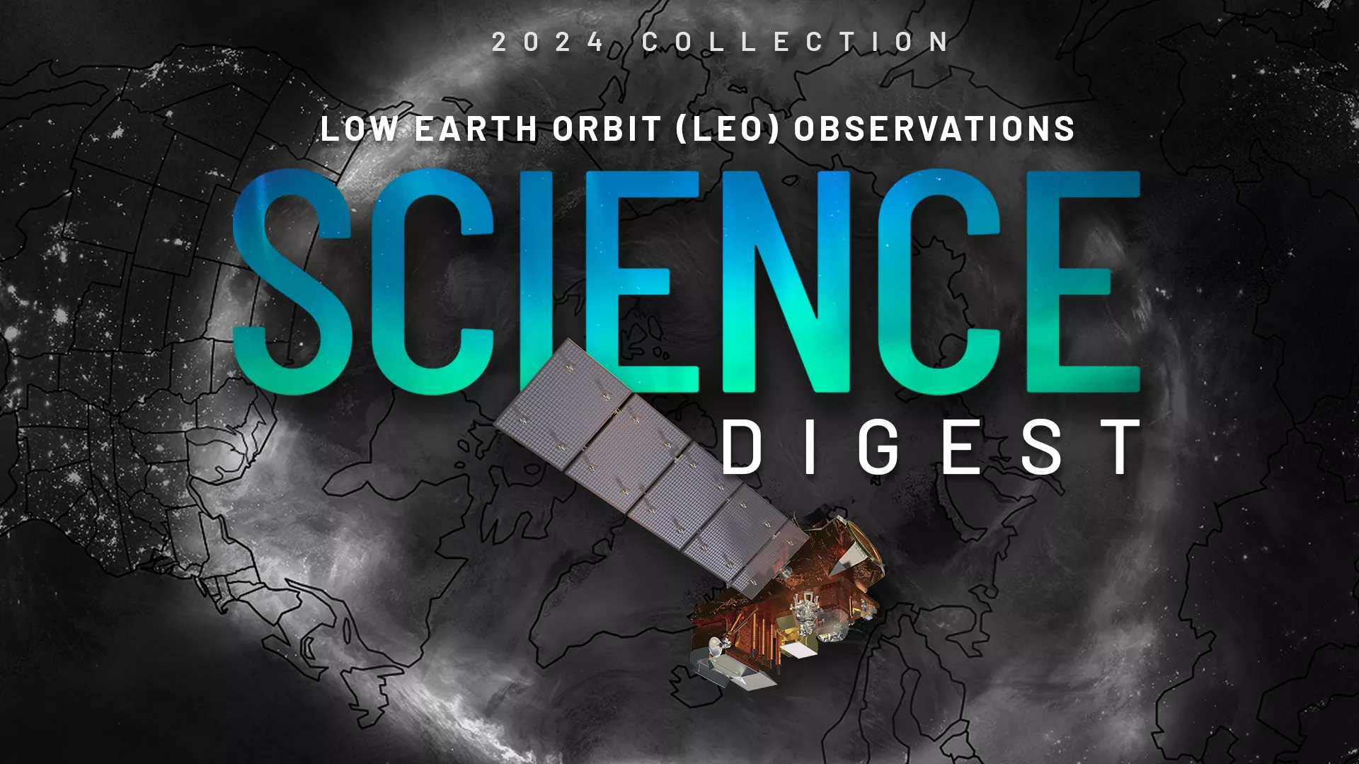
Explore the impact and applications of low earth orbit data and products.
View Digest 2024 LEO Science Digest
Feature Stories
-
Innovative use of NOAA’s geostationary satellites (GOES) has given scientists a new way to detect…
-
On Oct. 16, 2024, NASA’s Goddard Space Flight Center in Greenbelt, Maryland celebrated an early 10…
-
As climate change increases flood risks, accurate forecasting and resilience tools are more…
-
Late October has occasionally produced devastating hurricanes that have hit the United States and…
Data & New Technology
Data Purchases
NOAA is taking concrete steps to support the development of commercial markets for space-based weather data.
Visit the programs page Data Purchases
Data Collections
NOAA collects the most up-to-date data about the atmosphere, land, and oceans.
Learn about data information Data Collections
Pathfinder Initiative
Help develop studies for future applications of mission data products.
Read about pathfinder initiative Pathfinder Initiative
News & Announcements
-
Three older polar-orbiting satellites are now operated through a new, cloud-based commercial…
-
NOAA satellites constantly monitor the oceans for tropical activity. As the 2023 Atlantic hurricane…
-
NOAA-21 is now fully operational in NOAA’s fleet of polar-orbiting satellites that provide critical…
-
Hurricane Otis made landfall on Mexico’s southern Pacific coast, at 1:25 a.m. CDT as a Category 5…
-
In September 2023, NOAA NCEI and ECCC published its first Prairies and High Plains Climate Bulletin.
-
NASA, on behalf of NOAA (National Oceanic and Atmospheric Administration), has awarded a delivery…
-
NASA Selects Ball Aerospace to Develop NOAA’s GeoXO Sounder Instrument