
NASA, on behalf of the National Oceanic and Atmospheric Administration (NOAA), selected Ball Aerospace & Technologies Corporation of Boulder, Colorado, to develop the sounder instrument for NOAA’s Geostationary Extended Observations (GeoXO) satellite program.
This cost-plus-award-fee contract is valued at approximately $486.9 million. It includes the build, delivery, spacecraft integration, and post-delivery support for one flight instrument as well as options for additional units. The anticipated period of performance for this contract includes support for 10 years of on-orbit operations and five years of on-orbit storage, for a total of 15 years for each flight instrument. The work will be completed at Ball Aerospace’s facility in Boulder, NASA’s Goddard Space Flight Center in Greenbelt, Maryland, and the agency’s Kennedy Space Center in Florida.
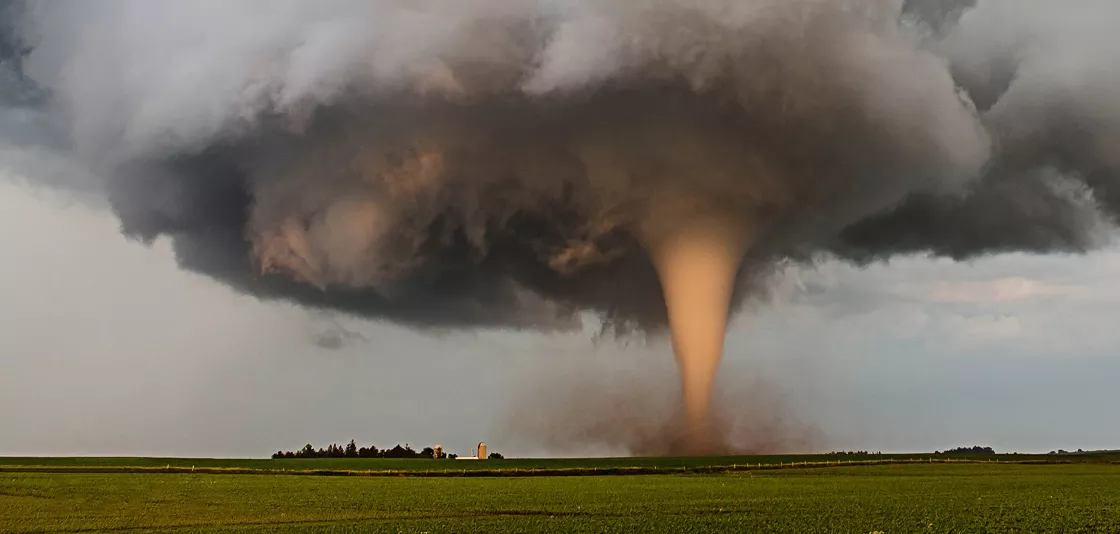
The GeoXO Sounder (GXS) is a hyperspectral infrared instrument, a camera-like device that has many “channels” to detect wavelengths of infrared light. GXS will provide real-time information about the vertical distribution of atmospheric moisture, temperature, and winds over the Western Hemisphere. The National Weather Service will use GXS data to improve numerical weather prediction and short-term forecasts of convection and severe weather. The National Hurricane Center will use GXS data to improve hurricane track and intensity forecasts.
The contract scope includes the tasks and deliverables necessary to design, analyze, develop, fabricate, integrate, calibrate, test, verify, evaluate, support launch, supply and maintain the instrument ground support equipment, and support mission operations at the NOAA Satellite Operations Facility in Suitland, Maryland.
NOAA operates a constellation of geostationary environmental satellites to protect life and property across the Western Hemisphere. The GeoXO program is the follow-on mission to the Geostationary Operational Environmental Satellites – R (GOES-R) Series program.
The GeoXO satellite system will advance Earth observations from geostationary orbit. The mission will supply vital information to address major environmental challenges of the future in support of weather, ocean, and climate operations in the United States. GeoXO’s advanced capabilities will help address our changing planet and the evolving needs of NOAA’s data users. NOAA and NASA are working to ensure these critical observations are in place by the early 2030s when the GOES-R series nears the end of its operational lifetime.
Together, NOAA and NASA will oversee the development, launch, testing, and operation of all the satellites in the GeoXO program. NOAA funds and manages the program, operations, and data products. NASA and commercial partners develop and build the instruments and spacecraft and launch the satellites.
Learn more about the GeoXO mission.
Karen Fox
NASA Headquarters, Washington
202-358-1600
karen.fox@nasa.gov
Jeremy Eggers
NASA’s Goddard Space Flight Center, Greenbelt, Md.
757-824-2958
jeremy.l.eggers@nasa.gov
John Leslie
NOAA’s National Environmental Satellite, Data, and Information Service
202-527-3504
nesdis.pa@noaa.gov