

Our dynamic world is always changing. See what it looks like now from space via our live feeds.
Explore interactively Interactive Maps

NOAA celebrates 50 years of its heralded Geostationary Operational Environmental Satellite program.
Fifty Years! 50 Years of GOES
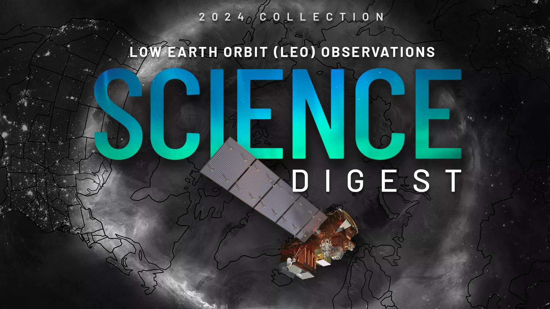
Explore the impact and applications of low earth orbit data and products.
View Digest 2024 LEO Science Digest
Feature Stories
-
Human space exploration in the U.S. took another major step forward this spring in preparing for…
-
Hurricanes, tornadoes, and blizzards are well known for their destructive impact to life and…
-
LightningCast uses artificial intelligence (AI) to predict general locations where lightning is…
-
The job of forecasting is with NOAA’s National Weather Service (NWS), but the Center for Satellite…
Data & New Technology
Data Purchases
NOAA is taking concrete steps to support the development of commercial markets for space-based weather data.
Visit the programs page Data Purchases
Data Collections
NOAA collects the most up-to-date data about the atmosphere, land, and oceans.
Learn about data information Data Collections
Pathfinder Initiative
Help develop studies for future applications of mission data products.
Read about pathfinder initiative Pathfinder Initiative
News & Announcements
-
NOAA scientists have been monitoring a sweltering and record-breaking heat wave that has been…
-
Lightning is a dangerous weather hazard that poses a significant threat to life and property. It…
-
Since mid-May, NOAA satellites have been closely monitoring heat signatures and thick plumes of…
-
NOAA’s Satellite and Information Services (NESDIS) Joint Venture Partnerships (JVP) published a…
-
NOAA satellites have been monitoring a potent and complex spring weather pattern responsible for…
-
NOAA satellites have been monitoring Earth’s weather and environment since 1970, which also…
-
NOAA’s Joint Polar Satellite System (JPSS) satellites captured striking imagery of sediment runoff…
Events
-
Jul 16, 20259:00am - 4:00pmGet updates about new geostationary and low earth orbiting data available, GeoXO satellite…
-
Jul 21, 202512:00pm - 1:00pmJPSS satellite data support NWS operations. The JPSS Satellite Liaison visits WFOs to gather…
-
Sep 24 - Sep 26, 20259:00am - 5:00pmThe 2025 Office of Space Weather Observations (SWO) Summit is designed as a collaborative workshop…