

Our dynamic world is always changing. See what it looks like now from space via our live feeds.
Explore interactively Interactive Maps

NOAA celebrates 50 years of its heralded Geostationary Operational Environmental Satellite program.
Fifty Years! 50 Years of GOES
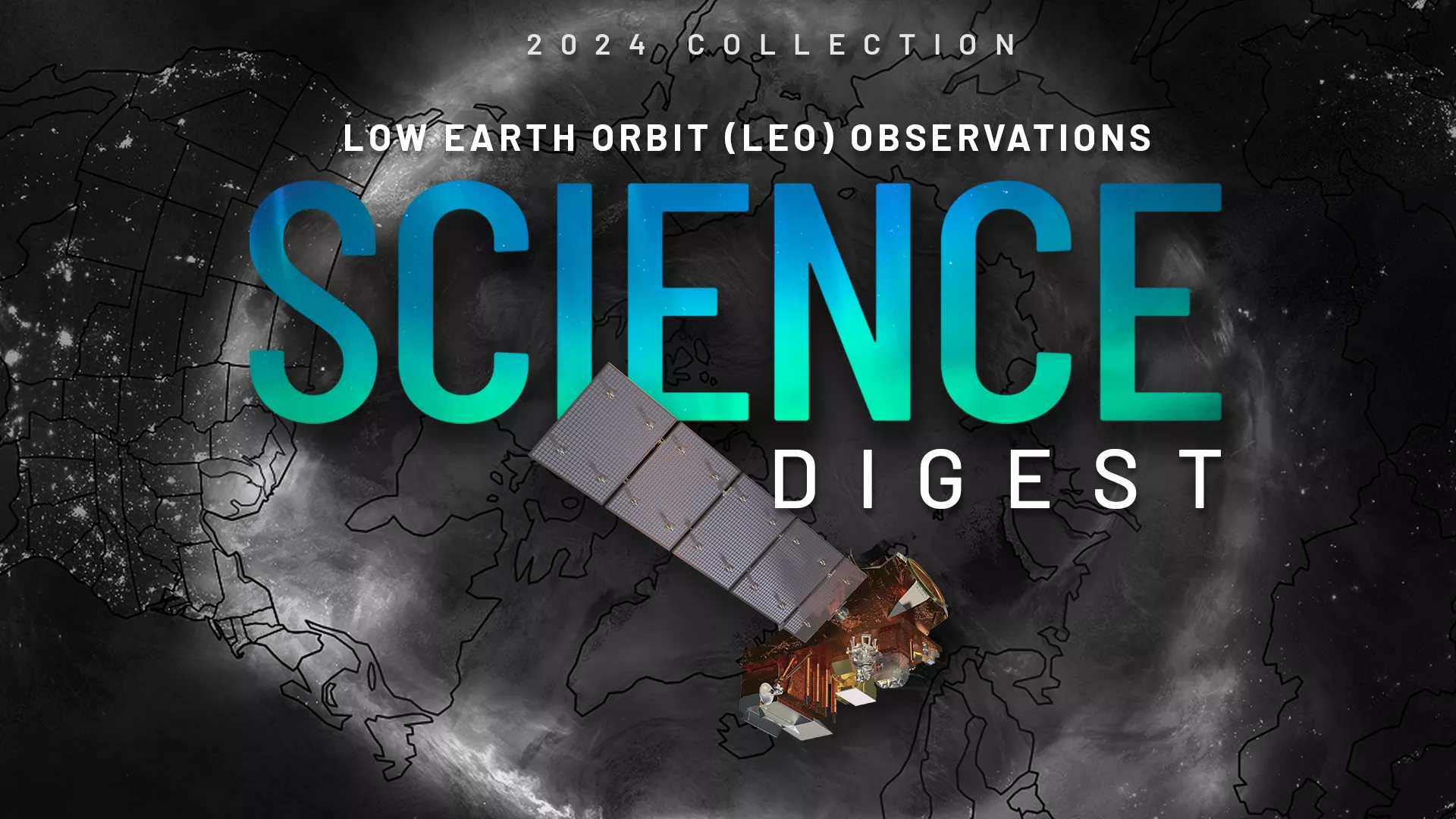
Explore the impact and applications of low earth orbit data and products.
View Digest 2024 LEO Science Digest
Feature Stories
-
The current marine heat wave is raising new concerns about the potential impact on the fragile…
-
With 2023’s Atlantic Hurricane Season officially underway, Dr. Stephanie Stevenson discusses her…
-
NOAA satellites capture activity on the Sun while NOAA forecasters issue alerts, watches and…
-
GOES-U recently completed a successful test deployment of its solar array to ensure it will…
Data & New Technology
Data Purchases
NOAA is taking concrete steps to support the development of commercial markets for space-based weather data.
Visit the programs page Data Purchases
Data Collections
NOAA collects the most up-to-date data about the atmosphere, land, and oceans.
Learn about data information Data Collections
Pathfinder Initiative
Help develop studies for future applications of mission data products.
Read about pathfinder initiative Pathfinder Initiative
News & Announcements
-
On Nov. 28, 2022, the world’s largest active volcano began erupting for the first time since 1984.…
-
The 2022 Atlantic Hurricane Season officially came to a close on Nov. 30, but the impact of…
-
On Nov. 10, just before 2 a.m. Pacific time, an Atlas V 401 rocket carrying NOAA’s Joint Polar…
-
A series of recent wildfires ignited or spread this past week as warm, dry, and windy conditions—a…
-
On Sept. 28, Hurricane Ian made landfall near Cayo Costa in southwestern Florida as a dangerous,…
-
On August 19, the JPSS-2 satellite arrived by transport truck to the Vandenberg Space Force Base in…
-
Hurricane Fiona, the first major (Category 3+) storm of the Atlantic hurricane season, has been…