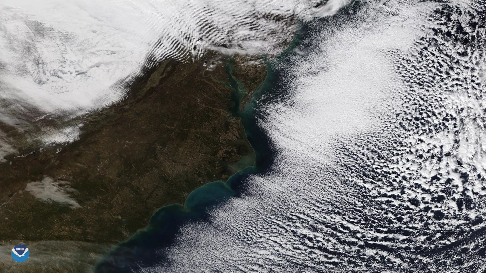
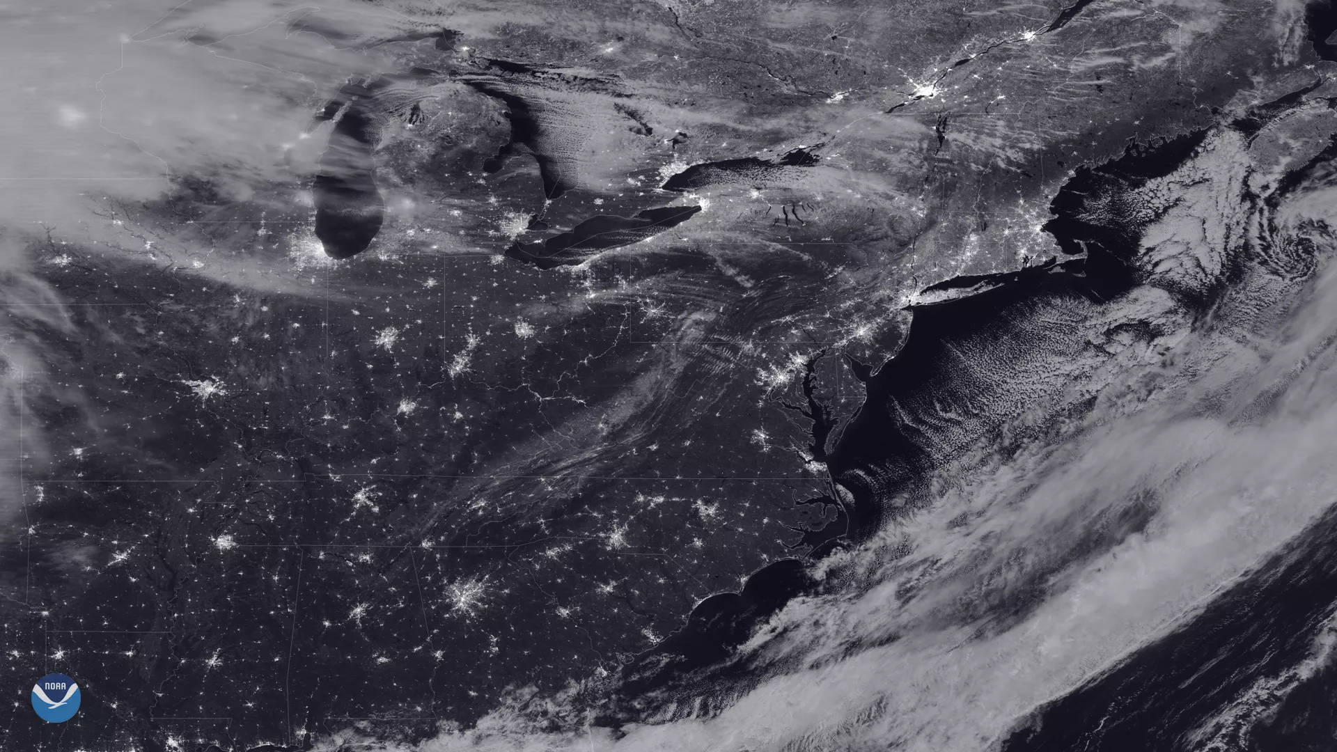
Sometimes satellite imagery shows us rippled cloud patterns called wave clouds, or gravity waves. These form when stable air moves over a raised land feature, such as hills or mountains, and is forced upward. Gravity then causes the air to fall back down, and it begins to oscillate, creating that ripple effect.
In cases like these, clouds form on the cooled crests of these waves when enough moisture is present in the atmosphere. As the air moves downward, it encounters increasing atmospheric pressure. As the air is compressed, it is accompanied by an increase in temperature via a process called adiabatic heating, and the clouds evaporate. They can then form again as the air moves back upward, leading to the formation of the characteristic clouded and non-clouded bands.
Note that gravity waves shouldn’t be confused with “gravitational waves,” waves in spacetime created as objects move through space.
See additional examples below:


