
Search
Showing 49 - 56 of 142 results
News

Strong to severe storms were captured moving across the Mississippi and Ohio River valleys via satellite imagery.
News
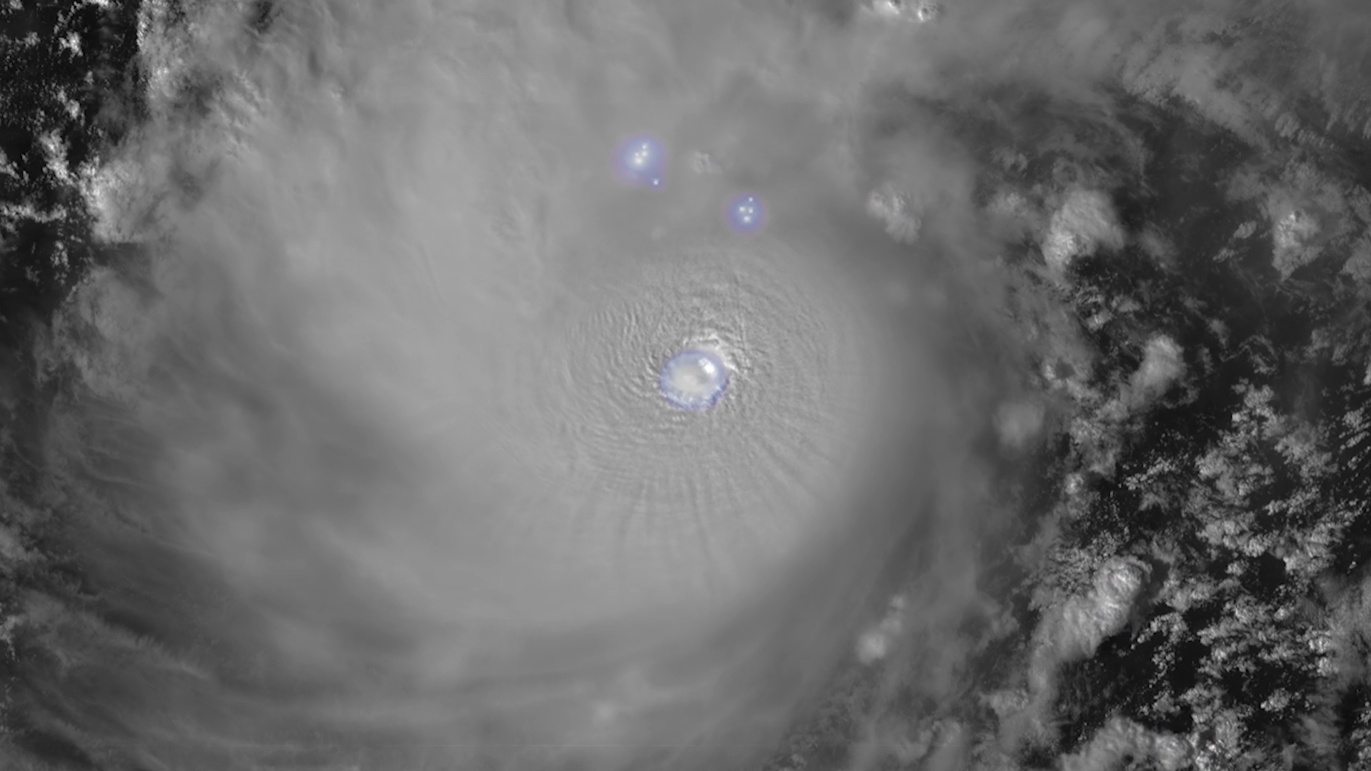
The Geostationary Lightning Mapper (GLM) instrument, onboard NOAA’s GOES-19 satellite, is now continuously observing…
News

Your cell phone isn't the only device that relies on the radio frequency (RF) spectrum. Buoys, satellites, weather…
Bio

Deputy Director
Systems Architecture and Engineering
Dan St. Jean brings more than 28 years of NOAA experience to our team.
News
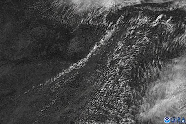
GOES East captured imagery of a derecho that tore through the north-central Plains on July 19, 2017.
News

NOAA satellite imagery captured lightning illuminating the sky across the South as severe thunderstorms charged eastward.
News

Gulf Coast thunderstorms bubble up above a blanket of clouds in this GOES East view from April 5, 2019.
News
GOES East satellite’s visible channel watched the anvil-shaped cloud tops of severe thunderstorms bubble up over western…