
Search
Showing 569 - 576 of 628 results
NOAA evaluated a range of space architecture options for delivering the recommended GeoXO observations effectively and…
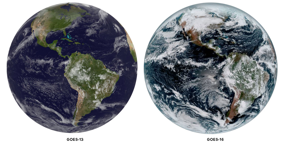
Ever wondered what makes the color composite imagery from GOES-16 is so much better than similar imagery from earlier GOES…

NOAA hosted the 52nd Plenary Meeting of the Coordination Group for Meteorological Satellites (CGMS-52) from June 4–6, 2024…
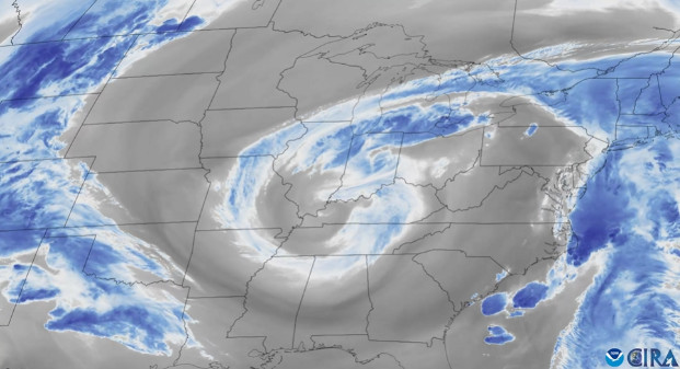
From May 2 to 5, 2025, water vapor imagery from NOAA’s GOES East satellite helped track a swirling low pressure system over…
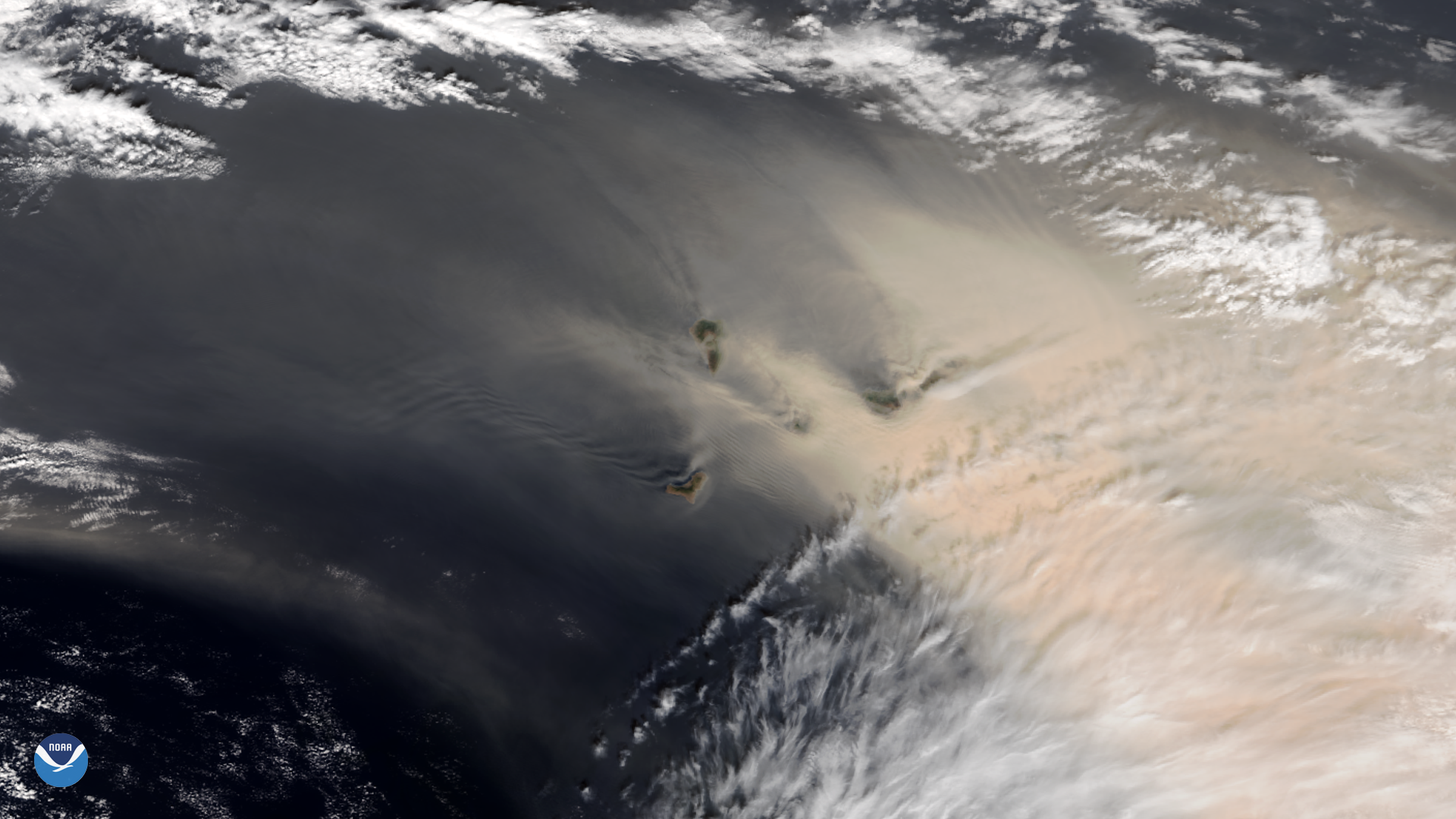
NOAA-20 satellite zoomed in on a strong sandstorm that began blowing large amounts of reddish dust from the Sahara Desert.
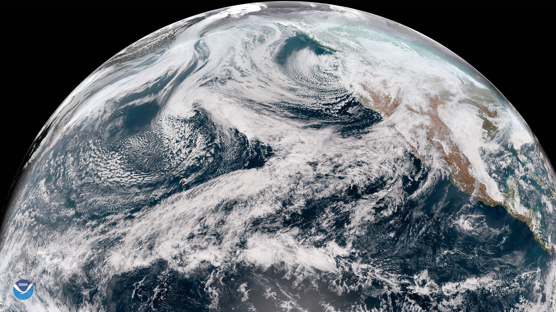
It’s official: GOES-17 is now operational as NOAA’s GOES West satellite. GOES-17 GeoColor view of the Northern Hemisphere,…
NOAA plans to include a hyperspectral, ultraviolet through near-infrared, passive imaging radiometer that analyzes ocean…
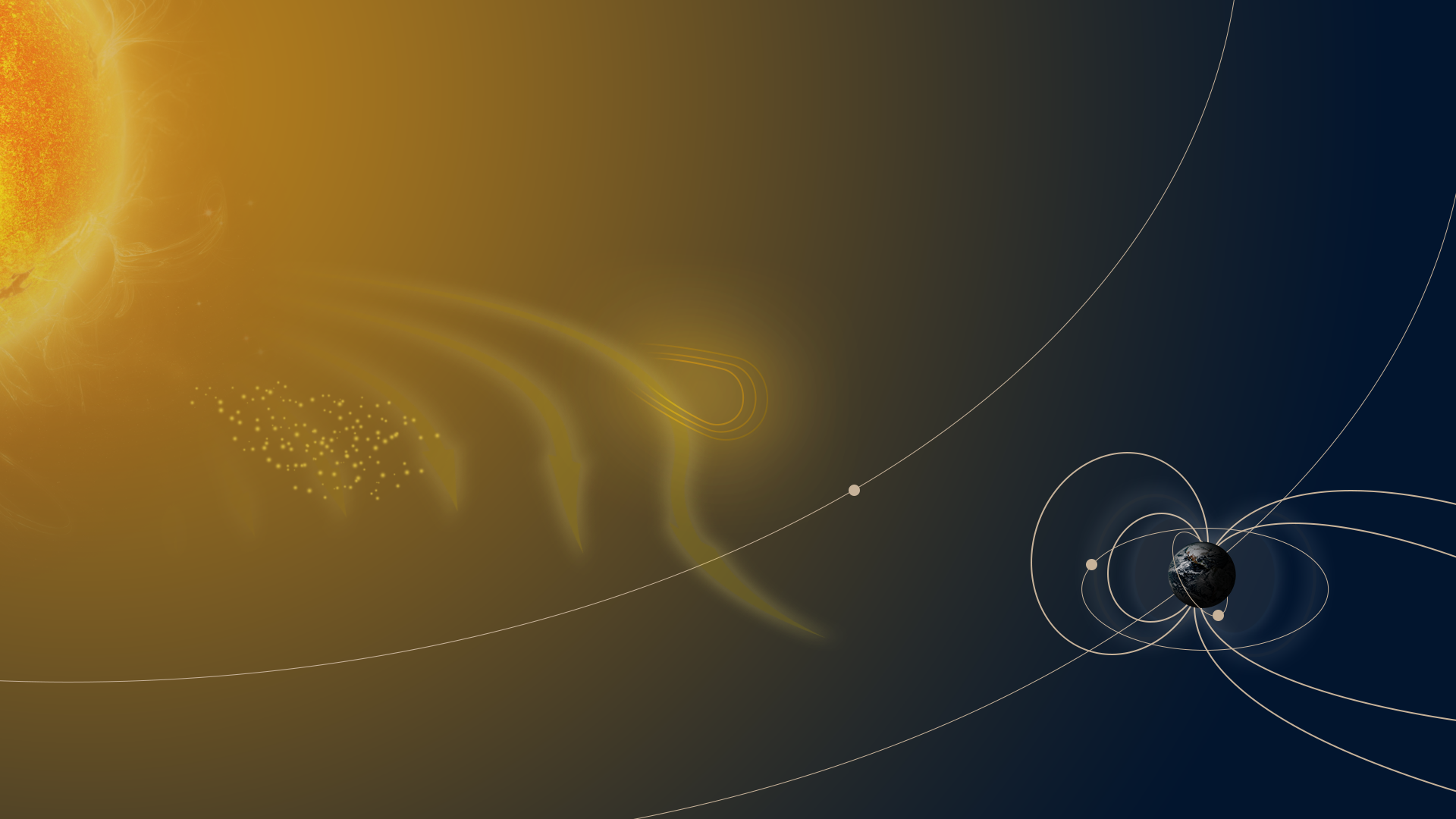
Over the course of the Sun’s 11-year solar cycle, the star goes through a period of increased and decreased activity…