
Search
Showing 89 - 96 of 630 results
NOAA has released its Atlantic Hurricane Outlook for 2020. NOAA’s National Weather Service Climate Prediction Center.
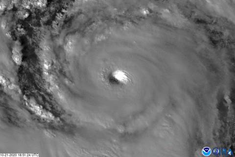
GOES-16 captured this geocolor image of Hurricane Franklin (now a remnant low) on the evening of August 9, 2017. According…
It’s official: Subtropical Storm Andrea is the first named storm of the 2019 Atlantic Hurricane Season.
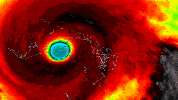
On Wednesday, Oct 21, 2020, The GOES-East satellite watched Hurricane Epsilon quickly intensify from a Category-1 storm to a…
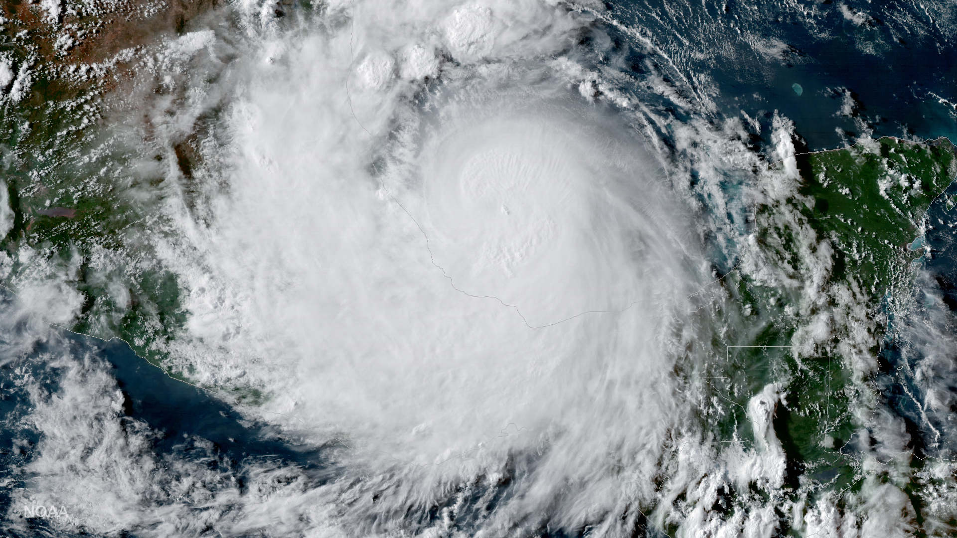
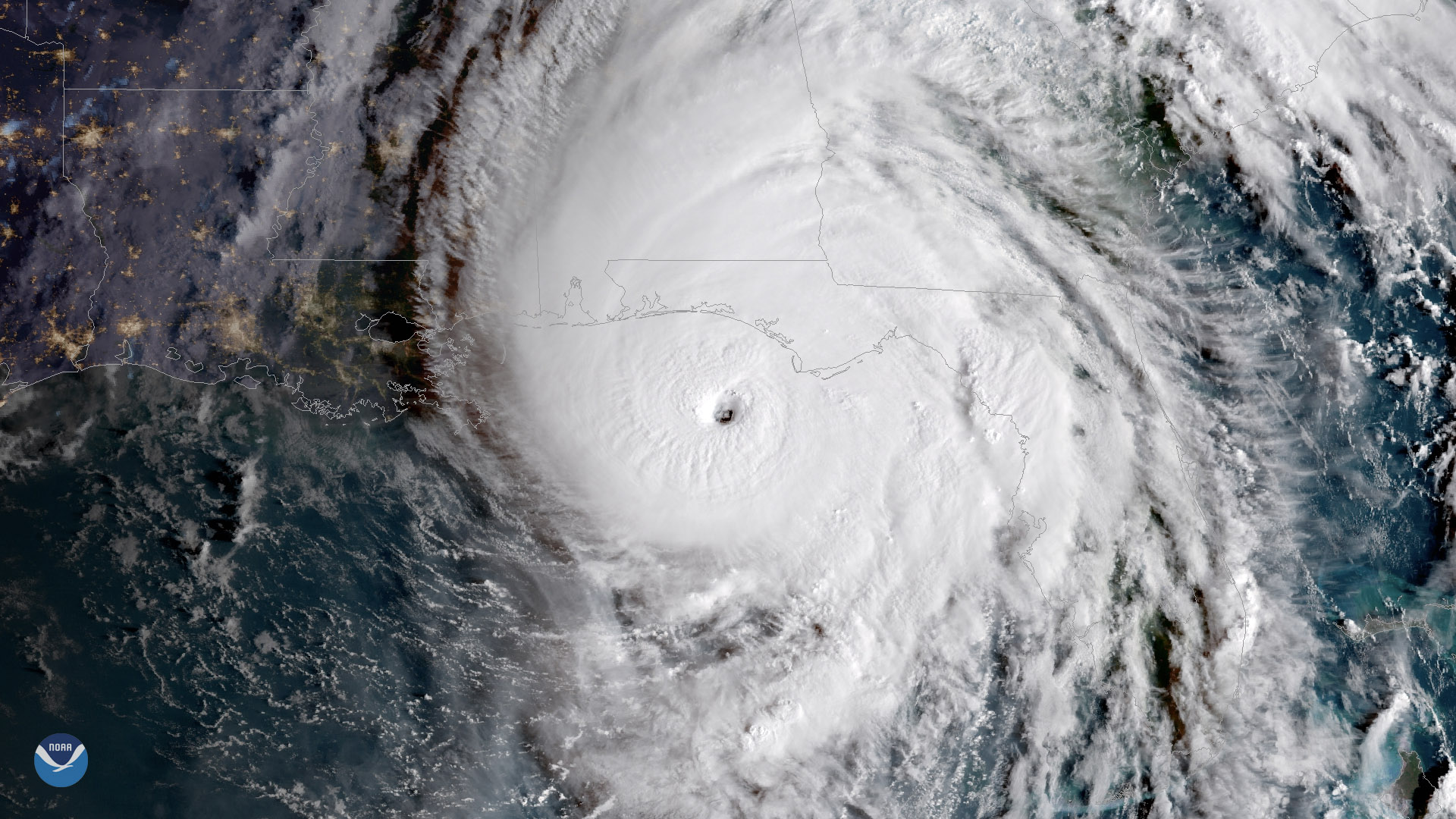
August 27, 2020 During the early morning hours of August 27, 2020, NOAA’s GOES-East saw Hurricane Laura make landfall at…
Late October has occasionally produced devastating hurricanes that have hit the United States and elsewhere.
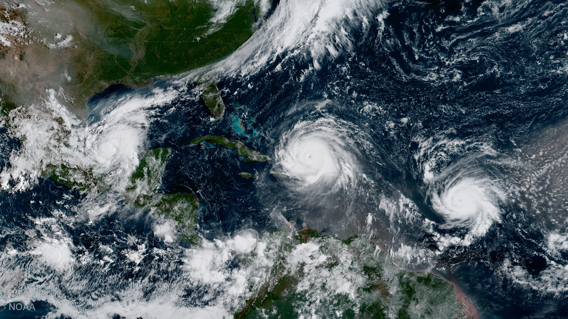
Geocolor image from GOES-16 shows Hurricanes Katia (l), Irma (m) and Jose (r) in the Atlantic Ocean.
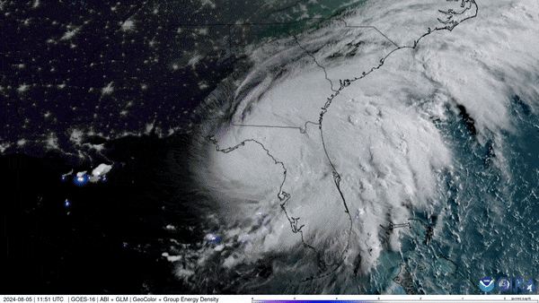
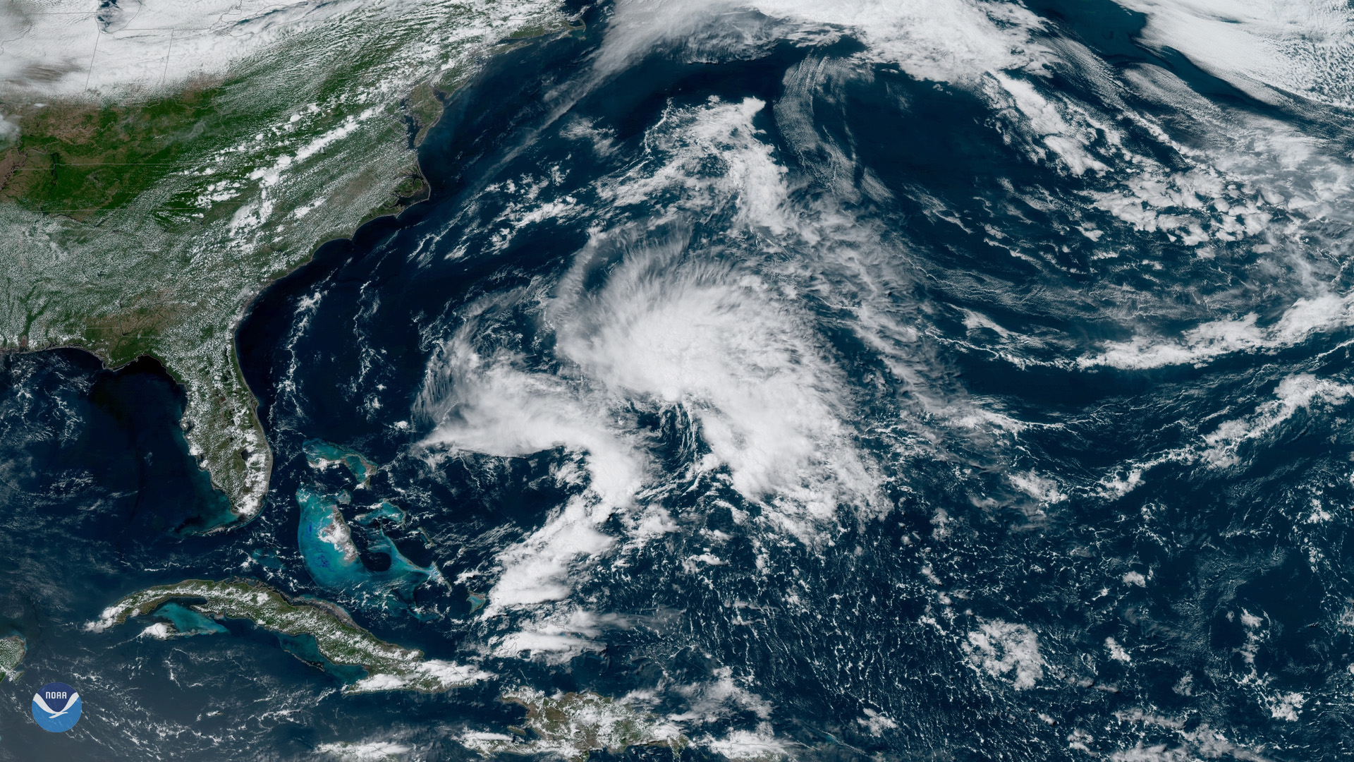
NOAA’s GOES East (GOES-16) satellite has been carefully monitoring Hurricane Debby as it travels across the U.S. state of…