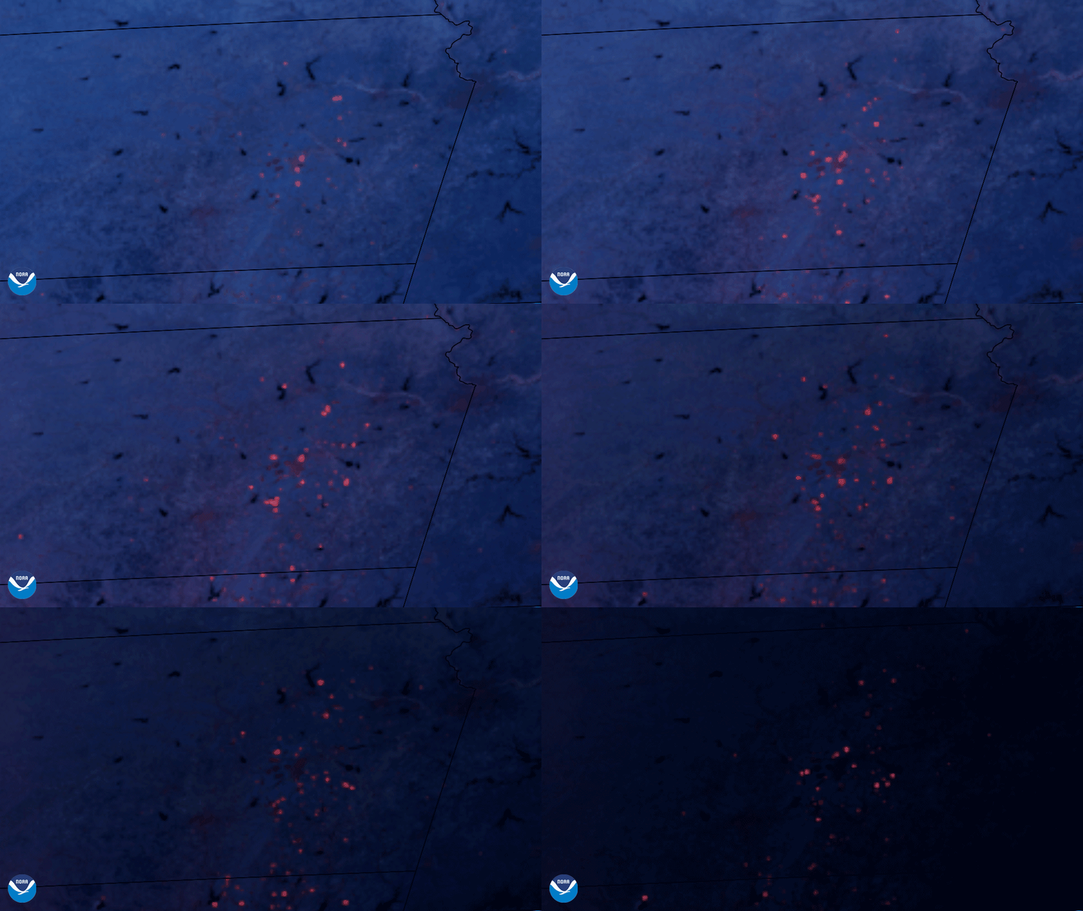
On April 1, 2021, NOAA’s GOES East satellite detected the heat from prescribed burns across Kansas and Oklahoma in this Fire Temperature imagery. The fires’ thermal signatures show up as glowing red dots in the image above, and they appear to “twinkle” as their intensity increases and decreases.
The highest elevation in Topeka, Kansas—Shawnee Point—had fire and smoke that was visible from miles away, prompting local fire authorities to issue an advisory to residents in the area. The town of Willard, Kansas, additionally, became the site of a brush fire. The Topeka Fire Department stated: “We are in Red Flag conditions and any fires outside will quickly become extremely dangerous,” and asked that residents evacuate the area. Red Flag warnings alert land management personnel that conditions are highly unfavorable for prescribed burns and often result in outdoor burning bans.
Also known as “controlled burns,” prescribed burns are frequently administered by land management authorities to clear out old brush and other detritus, preventing the accumulation that could lead to larger and more destructive fires at a later time. The periodic burns also help renew and improve the environment for endangered species. It promotes the new growth of brush, sumach, and cedar trees through the dispersal of a new layer of nutritious ash on the forest topsoil, reducing the human-made chemicals needed to maintain healthy land.
The GOES East geostationary satellite, also known as GOES-16, keeps watch over most of North America, including the continental United States and Mexico, as well as Central and South America, the Caribbean, and the Atlantic Ocean to the west coast of Africa. The satellite's high-resolution imagery provides optimal viewing of severe weather events, including thunderstorms, tropical storms, and hurricanes. Thermal detection by sensors on the GOES East satellite often alerts authorities to burgeoning wildfires hours before they are spotted by the human eye.
