
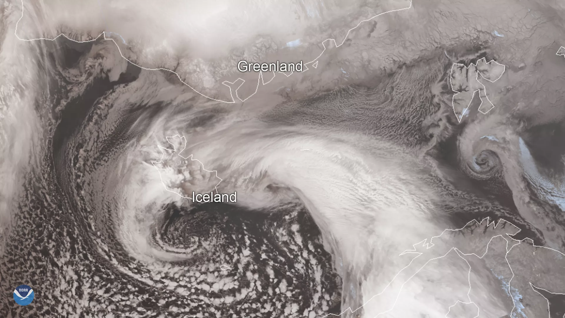
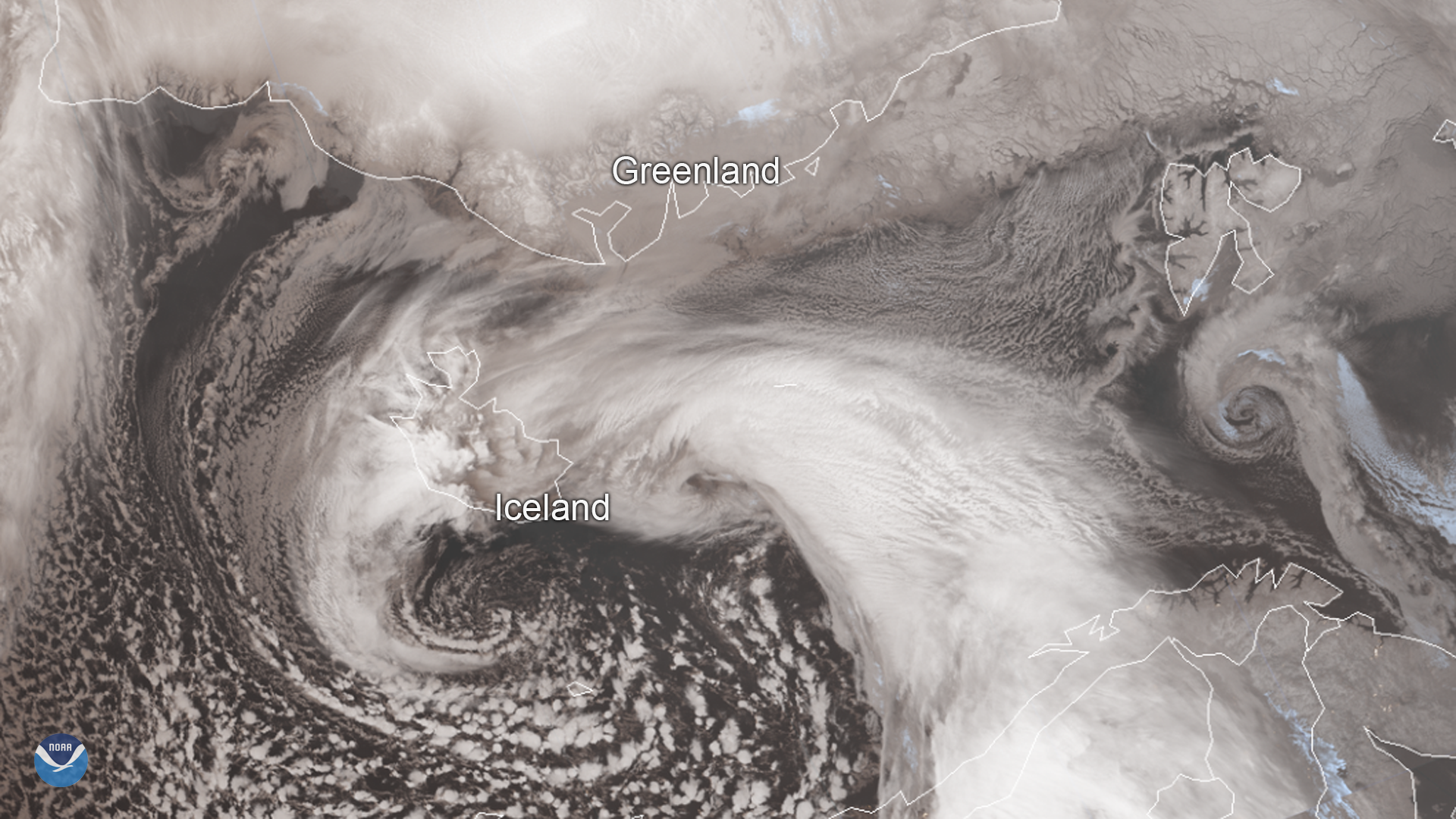
Iceland’s worst winter storm of the year hit the country yesterday, Dec. 10, 2019, and is continuing to bring extremely windy conditions across parts of the island as well as dangerous blizzard conditions in its northwestern region. Today, this system is weakening slightly as it moves eastward, but it’s still predicted to bring strong winds up to 65 mph through Thursday morning. Local authorities have advised all residents and visitors to avoid traveling until Wednesday evening, and almost all highways and mountain roads throughout the country remain closed.
The storm was so severe yesterday that a red weather alert was activated in Northwest Iceland, which was the first time this has happened since the system was implemented several years ago. Now, orange warnings are in effect through tonight throughout most of the country. In Southeast Iceland, particularly dangerous wind gusts are expected near the mountains and the Mýrdalsjökull and Vatnajökull glaciers, as well as in the central highlands.
This image was captured by the NOAA-20 satellite's VIIRS instrument , which scans the entire Earth twice per day at a 750-meter resolution. Multiple visible and infrared channels allow it to detect atmospheric aerosols, such as dust, smoke and haze associated with industrial pollution and fires. The polar-orbiting satellite circles the globe 14 times daily and captures a complete daytime view of our planet once every 24 hours.