


Phenomena: Dust Storm
Satellite: GOES East (GOES-19)
Product: GeoColor
Instrument: Advanced Baseline Imager
Timespan: May 16, 2025 (22:00 – 23:46 UTC)
On Friday, May 16, 2025, NOAA’s GOES East satellite captured a rare dust storm pushing across northern Illinois, northern Indiana and the Chicago metropolitan area.
The dust storm was driven by strong winds, gusting over 60 mph at times, originating out of a cluster of severe thunderstorms moving across central Illinois. As the storms advanced, the strong winds picked up dust from dry farmland, which quickly amassed into an expansive dust plume along and behind the leading edge of the thunderstorm’s outflow winds.
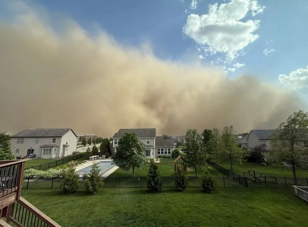
Dust storm approaching Bloomington, Illinois. [Photo courtesy of Chicago NWS and Jason Borchardt.]
The National Weather Service (NWS) Forecast Office in Chicago issued four Dust Storm Warnings during the event, as visibilities dropped to near zero within the hardest-hit areas.
While dust storms are uncommon, but not unprecedented, in the Midwest, it is very rare for one to impact Chicago. According to NWS Chicago, the last time a dust storm of this magnitude affected Chicago was during the Dust Bowl era in the early-to-mid 1930s.
Get more information and see more photos from the event here.
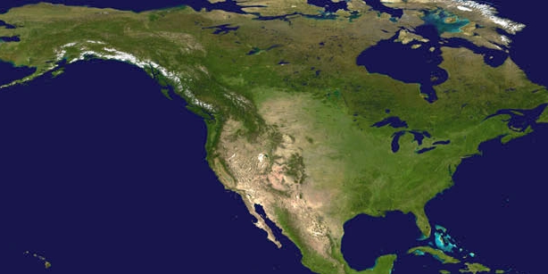
The GOES-19 geostationary satellite, also known as GOES East, keeps watch over most of North America, including the contiguous United States and Mexico, as well as Central and South America, the Caribbean, and the Atlantic Ocean to the west coast of Africa. The satellite's high-resolution imagery provides optimal viewing of severe weather events, including thunderstorms, tropical storms and hurricanes.