
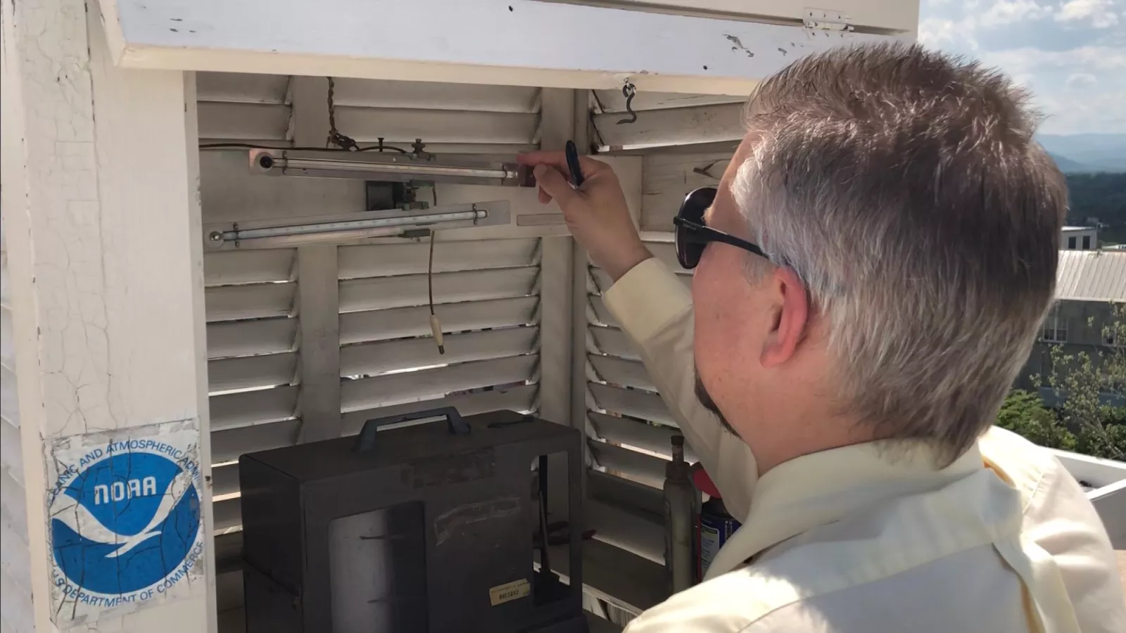
On May 4, 2021, NOAA released its updated 1991–2020 Climate Normals for the United States. Climate Normals are traditionally defined as 30-year averages of annual/seasonal, monthly, daily, and hourly statistics of temperature, precipitation, and other climatological variables from almost 15,000 weather stations across the U.S. and its territories. NOAA’s National Centers for Environmental Information (NCEI) is the official source of the U.S. Climate Normals.
Imke Durre is a physical scientist at NOAA NCEI in Asheville, North Carolina. As the product section chief of this year’s updated Climate Normals, she had a pivotal role in the production of this update. We recently spoke with her to learn more about her contribution to this new set of critical U.S. climate data.
Could you please give us an overview of what you worked on for the Normals release?
I generated the precipitation, snowfall, and snow depth normals. Besides all of those statistics, I managed much of the quality control and evaluation of the normals. After we produced the first version, we had to make sure the patterns looked reasonable and address any outliers that we saw in various perspectives. Then we would either remove them or decide that they're explainable by topography.
I also coordinated and wrote responses to many of the comments and questions on a preview of the normals that NCEI received from National Weather Service Weather Forecast Offices from around the country.
Because I'm a section chief, I'm also one of the two project sponsors. My responsibility is to make sure that we have enough people to work on it and to help coordinate relevant activities across NCEI as needed. I work closely with Mike Palecki, in terms of project management.
In all, there are more than 20 people who worked on anything related to this month’s release of the Normals.
What are the special challenges with generating normals for precipitation?
Good normals are reliant on good data. For precipitation, that means that observations of zero need to be reported, so that we can calculate accurate monthly totals and accurate frequencies of when it rains. In most locations across the U.S., the majority of days have no precipitation and when it rains, the amount can be anywhere from a trace amount due to a little drizzle to several inches due to a heavy storm.
Precipitation is also highly variable from place to place—one part of town may experience a downpour, while others stay dry. Because of this high variability, it is difficult to detect errors in precipitation and to estimate missing values based on neighboring stations.
We only calculate monthly totals when the record for a particular month is complete. If we don’t have all the information, we estimate that month’s total at the location, say, Asheville, N.C., from neighboring stations. The normal then is an average of the observed and estimated monthly totals.
What is the role of citizen science in helping to calculate NOAA’s Climate Normals?
About 90% of our sites that are included in the Normals are from stations where observations are taken by volunteers. Clearly, if we did not have these volunteers, then we would have a much less spatially complete network, making us less able to capture the high variability from place to place, particularly for precipitation. In other words, if you made a map of them, you would have a lot more holes, or spacing, between locations.
The two main volunteer networks we use are the NWS Cooperative Observer Program, which has been around for over a hundred years and has very good long-term data. The other is the much newer CoCoRaHS, the Community Collaborative Rain, Hail, and Snow network, which started in Fort Collins, Colorado in 1998 and now covers all 50 states and some neighboring territories and countries.
How does topography affect climate across the U.S.? How have huge shifts in landscape use and landscape cover affected what we understand and experience as the U.S. climate today?
[Topography] is actually a huge factor in climate. For example, if you take a day trip up into the mountains, you usually notice that it gets cooler the higher you go. You’d want to bring a jacket, even if it's very warm where you're starting out from that day.
Another example is that along the West Coast, in California, Oregon, and Washington State, it rains much more on the western side of the coastal mountain ranges than on the eastern side of those mountains. This is because here, most winds and large storms come from westerly directions. The air tends to rise alongside the slope facing the wind, causing moisture in the air to condense and rain out. That leaves much less moisture for the other side of the mountains where the air descends and thereby further dries out.
You can see these effects of mountains on temperature and precipitation, in the Normals.
The impact of land use and land cover on the climate is complex. For example, concrete and bare soil heat up more and have less evapotranspiration than vegetated surfaces. Trees and buildings influence air flow in the lowest layer of the atmosphere. So, the effects of land use/land cover changes vary from station to station depending on how each site’s local environment has changed over time.
Since climate is changing, how do you determine what is "normal"?
In general, we use the term “normals” a little more broadly to describe the entire set of statistics that we provide, which is not just the averages, but also some of the other parameters such as frequencies of occurrence of different types of events. Of course, like in all fields, whatever is called ‘normal’ is relative to some extent. NCEI’s Climate Normals describe the most recent state of the climate. The standard that's been used is the 30-year normal baseline that was established by the World Meteorological Organization. In the context of rapid climate change, some industries have expressed the need for climatological statistics to be calculated for shorter periods.
This year, NCEI therefore is releasing normals for both the 1991–2020 and 2006–2020 periods.
Do you have any advice for kids who are interested in studying the sciences?
I would always encourage adults to help kids foster any curiosity in weather and science. That can be done through mentors, and mentors can come in any form. Mentors can be scientists themselves, parents, older students, or friends.
There often seems to be a difference in how kids view experimental science and observations versus what they study in the classroom. I think it's important for mentors to help make the connection between classwork and its real-world applications. They can show kids how math, physics, biology, and other sciences can help them better understand things they observe in the world. They can make sure that kids make that connection and don't lose their interest in science because they get bogged down by the classwork.
I think mentors can be very important, and help inspire kids to keep focusing on why they are learning certain material. Mentors who are experts in an area that is of interest to students or share some other life experience with that student can be extremely valuable. On the other hand, mentors can also expose kids to many different things, fields, and concepts, so that they can find what's best for them.