
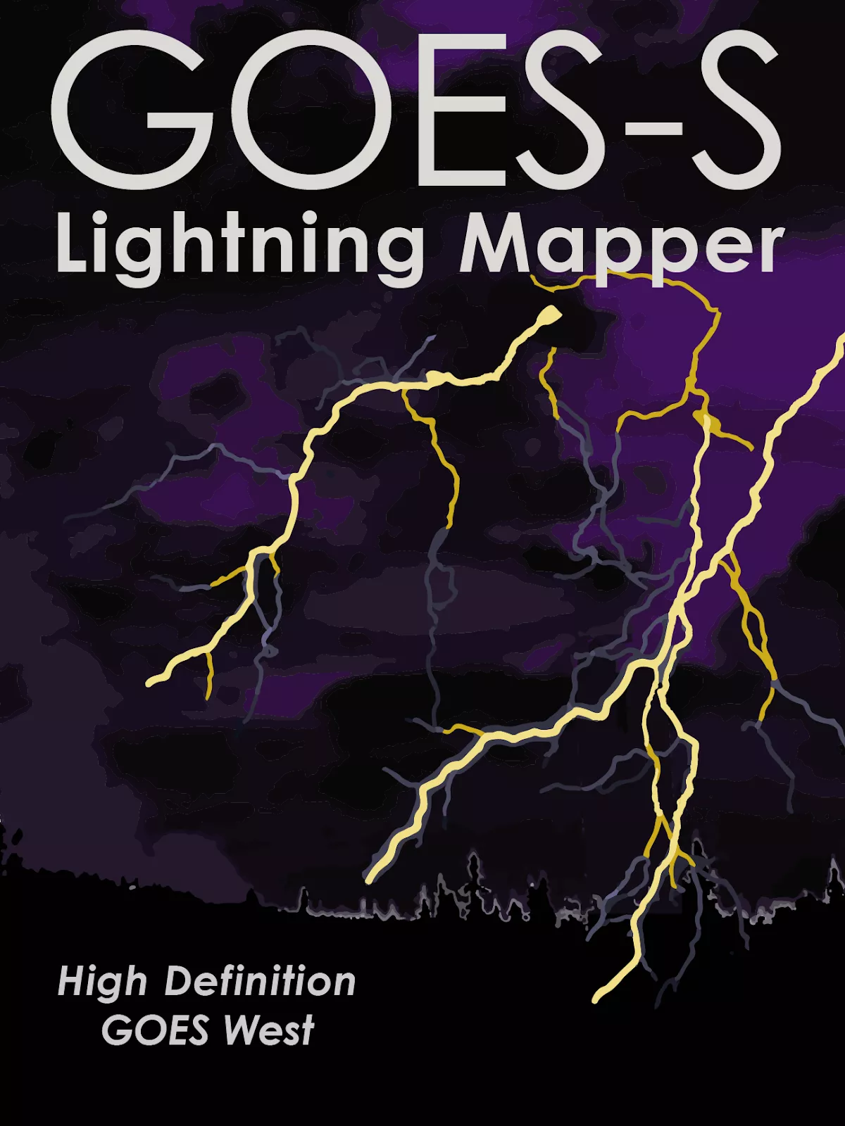
NOAA GOES-S will not only image the Earth as it sees it in true color, it also will be able to detect and monitor weather phenomena as they develop in real time - like lightning.
The first lightning detector in a geostationary orbit, the Geostationary Lightning Mapper (GLM) currently onboard NOAA GOES East, is transmitting data never before available to forecasters. The mapper continuously looks for lightning flashes in the Western Hemisphere, so forecasters know when a storm is forming, intensifying and becoming more dangerous. Rapid increases of lightning are a signal that a storm is strengthening quickly and could produce severe weather.
During heavy rain, GLM data will show when thunderstorms are stalled or if they are gathering strength. When combined with radar and other satellite data, GLM data will help forecasters anticipate severe weather and issue flood and flash flood warnings sooner. Also, in large long-lived storm systems, lightning may travel hundreds of miles before striking the ground. The GLM can show forecasters areas far from the main line of storms where the risk of lightning strikes to ground presents a public safety hazard. In dry areas, especially in the western United States, information from the instrument will help forecasters, and ultimately firefighters, identify areas prone to wildfires sparked by lightning.
Data from the instrument is also used to produce a long-term database to track decadal changes in lightning activity. This is important due to lightning’s role in maintaining the electrical balance between Earth and its atmosphere and potential changes in extreme weather and severe storms under a changing climate.