
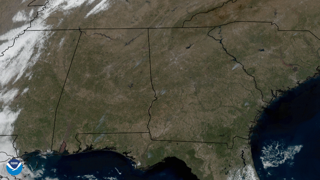
On Feb. 24, 2021, the GOES East satellite captured this GeoColor imagery of grayish smoke plumes rising into the atmosphere across the southeastern United States.
While some of the smoke may come from wildfires, the majority of it most likely emanated from prescribed burns, which have long been used for landscape and ecosystem management in the Southeast and across the U.S.
According to the U.S. Forest Service , prescribed fires protect human communities from extreme fires, improves habitat for threatened and endangered species, and promotes the growth of trees, wildflowers, and other plants, among other benefits.
The GOES East geostationary satellite, also known as GOES-16, keeps watch over most of North America, including the continental United States and Mexico, as well as Central and South America, the Caribbean, and the Atlantic Ocean to the west coast of Africa. The satellite's high-resolution imagery provides optimal viewing of severe weather events, including thunderstorms, tropical storms, and hurricanes.