
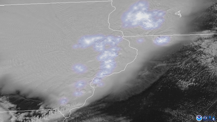
On August 10, 2020, NOAA’s GOES-East satellite tracked severe thunderstorms as they raced across much of the Midwest and caused a widespread, fast-moving windstorm called a derecho. According to the National Weather Service's Storm Prediction Center , the derecho traveled from far southeastern South Dakota into Ohio—a distance of about 770 miles—in a span of 14 hours.
The high winds were reportedly so strong that they flipped or blew some tractor-trailers off roadways, downed trees , flattened crops , and caused widespread property damage. Across the Upper Midwest in Iowa, Illinois, and Indiana, more than 1 million homes and businesses lost power. In Iowa, where gusts reportedly topped 100 mph, the damage was even more severe; the highest wind speed recorded there 112 mph near Midway.
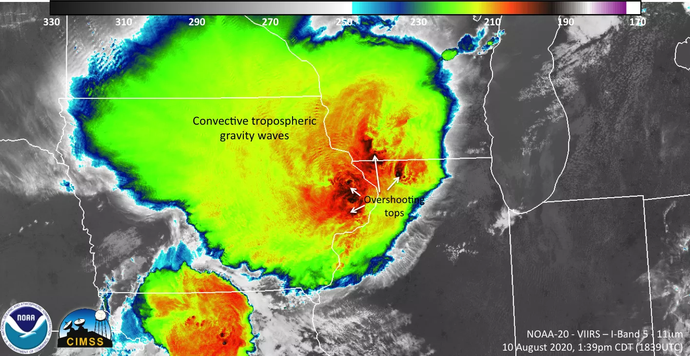
The NOAA-20 satellite also captured imagery of the storms as they were developing.
The GOES-East geostationary satellite, also known as GOES-16, keeps watch over most of North America, including the continental United States and Mexico, as well as Central and South America, the Caribbean, and the Atlantic Ocean to the west coast of Africa. The satellite's high-resolution imagery provides optimal viewing of severe weather events, including thunderstorms, tropical storms, and hurricanes. The imagery above also utilizes the satellite’s Geostationary Lightning Mapper.
The second image was captured by the NOAA-20 satellite's VIIRS instrument , which scans the entire Earth twice per day at a 750-meter resolution. Multiple visible and infrared channels allow it to detect atmospheric aerosols, such as dust, smoke and haze associated with industrial pollution and fires. The polar-orbiting satellite circles the globe 14 times daily and captures a complete daytime view of our planet once every 24 hours.