


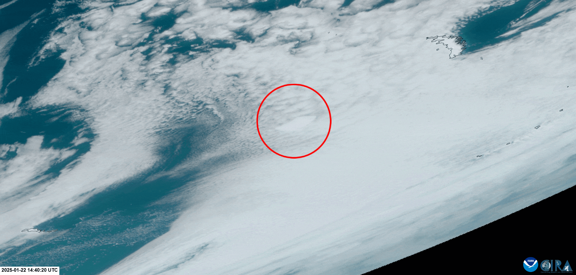
Phenomena: Icebergs
Satellite: GOES-16 (GOES East)
Product: GeoColor
Instrument: Advanced Baseline Imagery (ABI)
Date: Jan. 22, 2025
Time: 14:40 – 21:40 UTC
On Jan. 22, 2025, NOAA’s GOES East satellite captured imagery of the world’s largest current iceberg, A23a, slowly drifting northeastward in the Southern Ocean.
According to the U.S. National Ice Center—the global entity that names, tracks and documents Antarctic icebergs that meet specific size criteria—Iceberg A23a was 1062.22 nautical miles in area as of Jan. 16, 2025, an area roughly the size of Rhode Island.
Scientists are monitoring A23a closely due to concerns that it may collide with South Georgia Island, potentially threatening a delicate ecosystem which is home to penguins and seals. Satellites play a crucial role in tracking its journey as it travels through the icy waters surrounding Antarctica.
The GOES East geostationary satellite, also known as GOES-16, keeps watch over most of North America, including the contiguous United States and Mexico, as well as Central and South America, the Caribbean, and the Atlantic Ocean to the west coast of Africa. The satellite's high-resolution imagery provides optimal viewing of severe weather events, including thunderstorms, tropical storms, and hurricanes.