
The high-resolution Advanced Baseline Imager aboard GOES-16 can provide imagery of hot spots like never before.
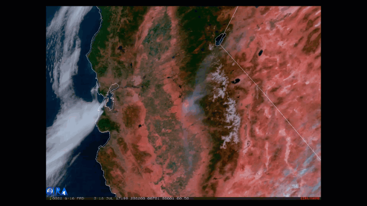
Wind pushes smoke from central California's Detwiler Fire to the northeast in this GOES-16 animation from July 18, 2017, that combines Fire Temperature and Geocolor imagery.
The Fire Temperature RGB is built using Advanced Baseline Imager bands 7, 6, and 5 (shortwave and near infrared bands), which are used to detect hot spots. As seen here, the active hot spots show up as red, yellow, and white as the fires grow increasingly hotter. To combine it with the geocolor imagery, the RGB imagery is made partially transparent and placed over the geocolor, so both the fire's hot spots and impressive smoke plume are visible.
The experimental geocolor enhancement displays geostationary satellite data in different ways depending on whether it is day or night. In nighttime imagery, shown at the beginning of this loop, liquid water clouds appear in shades of blue, ice clouds are grayish-white, water looks black, and land appears gray. (The city lights are a static background created with VIIRS Day/Night Band imagery.) In daytime imagery, land and shallow-water features appear as they do in true-color imagery.
According to the most recent information from the CALFire website, the Detwiler Fire has burned 45,724 acres, is 7 percent contained, and is exhibiting "extreme and aggressive fire behavior." More than 2,000 firefighters are involved in the control effort and evacuation orders are in effect in some areas within southern Mariposa County.
This animation appears courtesy of our partners at the Cooperative Institute for Research in the Atmosphere (CIRA). To see more animations from GOES-16, visit our image gallery.
Please note: GOES-16 data are currently experimental and under-going testing and hence should not be used operationally.