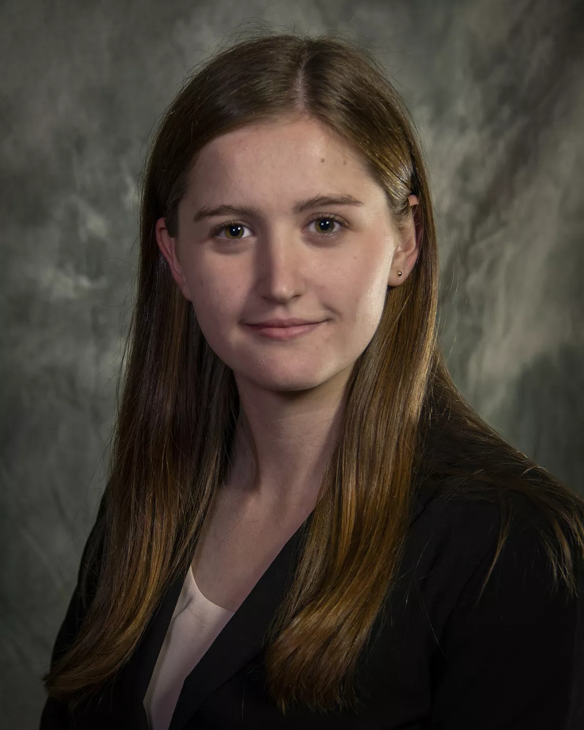
Aurora Baker sees science as more than a collection of data points—it’s a tool for storytelling and discovery. As a NOAA NESDIS Hollings Scholar, she’s bringing that perspective to classrooms nationwide, showing students how to turn real-world environmental data into meaningful insights about the planet.
On December 9, she will take the stage at the American Geophysical Union (AGU) Fall Meeting to share how NOAA’s Data in the Classroom program is bridging the gap between complex satellite data and hands-on learning, inspiring future Earth scientists one classroom at a time.
Her presentation will delve into how the program empowers educators by connecting real-world Earth science and environmental data to middle and high school curricula. Her talk, entitled Tackling the Last Mile- How NOAA’s Data in the Classroom is Bridging the Gap Between Earth Science Open Data and the Needs of Educators, will highlight how NOAA’s satellite data, combined with tools like Geographic Information Systems (GIS) and interactive resources, can transform classrooms and inspire the next generation of Earth scientists.
Aurora’s talk is part of the session titled “From Data-Driven Discoveries to K-12 Classrooms: Inspiring Educators and Students with the Latest Research Translated into Engaging Instructional Resources.” This session offers a dynamic platform for engaging with educators, students, and researchers, emphasizing the practical applications of satellite data in education. Aurora hopes to show how NOAA’s Data in the Classroom initiative bridges the gap between complex environmental data and hands-on learning experiences for K-12 students
“What excites me most is the chance to show how satellite data isn’t just numbers or graphs—it’s a way to tell stories about the Earth and its systems,” Aurora says. “By putting that power into students’ hands, we’re inspiring them to think like scientists.”
A Growing Passion for Data and GIS
Aurora’s internship with NESDIS has deepened her interest in (GIS) and data-driven resources for educators. These tools make environmental data more accessible and empower students and teachers to explore scientific concepts in an interactive and meaningful way. By integrating GIS with NOAA’s educational initiatives, Aurora sees an opportunity to spark curiosity and cultivate critical thinking in classrooms.
In her presentation, Aurora will explore how resources like Data in the Classroom provide educators with real-world, data-based activities, such as monitoring coral reefs and understanding El Niño’s impacts. Her goal is to inspire her audience—fellow students, educators, and researchers alike—to embrace data as a tool for exploration and innovative problem-solving.
The NESDIS-AGU Partnership in Action
Aurora’s participation at AGU highlights the dynamic collaboration between NESDIS and AGU in advancing education and scientific engagement. NESDIS’s satellite data not only informs scientific research but also serves as a bridge between operational science and educational outreach. The AGU meeting provides a vibrant platform for young scientists like Aurora to connect with peers, share insights and perspectives, and amplify the impact of their work.
“This isn’t about formal presentations or panels,” Aurora explains. “It’s about a chance to spark conversations, answer questions, and encourage others to see how NOAA’s data can make a real difference.”
Reflecting on Aurora’s contributions, her immediate supervisor during the internship, Rafael de Ameller, Earth Scientist and Leader of the NOAA Environmental Visualization Laboratory, remarked, “Aurora’s dedication to integrating complex satellite data into accessible educational resources exemplifies the innovative spirit we strive for at NESDIS. Her work not only bridges the gap between science and education but also inspires the next generation to engage deeply with environmental data.”
