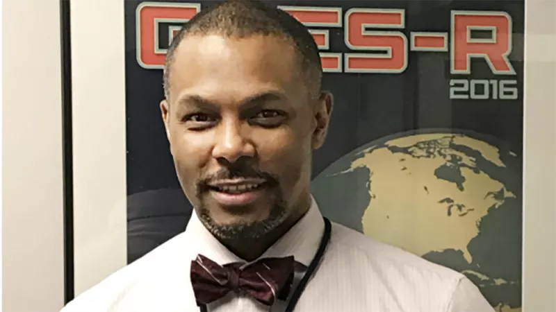
Happy Black History Month! Earlier this February, NOAA Satellites sat down with Kevin Fryar, Chief of Staff at GOES-R , to talk about his formative experiences as an African-American in the sciences, along with advice for budding meteorologists of color.
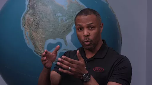
A veteran of the U.S. Air Force with over twenty years of experience as a weather decision support specialist, Fryar has also served at both the National Weather Service (NWS) and National Environmental Satellite and Data Information Service (NESDIS/NOAA Satellites) in a variety of roles. Most recently, he has been instrumental in the development of the new GEO-XO satellite system (a ground-breaking mission that will advance Earth observations from geostationary orbit)advising on key issues related to disaster preparedness and management. During his interview, Fryar gave an overview of GOES-R’s newest initiative as well as some practical advice on how his military and on-the-job experience made all of the difference in his career.
Answers have been edited for length and clarity.
1. What was your first position with NOAA? How did your experience with the military help you perform your roles and shaped your understanding of “partnership†and “mission�
“My first position within NOAA was with the NWS' Center Weather Service Unit in Atlanta, Ga, as an Aviation Meteorologist in the busiest airspace in the world. [Throughout my career], I’ve had the fortune of working in a joint environment where all branches are represented and contributing to the mission. Each branch brings its own specific culture, talents and arena of dominance. I've found similar parallels to specialty expertise as we develop GEO-XO. NOAA working in concert with NASA will deliver an operational geostationary constellation that will not only meet American needs but also fit in the international community's vision of a GEO ring of observations.
"My military experiences and training helped me both recognize the need, identify the resources [such making as video/audio briefings available online] required to implement the change. I credit my leadership for having the insight to identify the gap and creating the space for me to fill it with existing tools."
2. What was your first experience with science/technology? What caused your interest in meteorology as a career?
“In high school, learning computer languages like BASIC and Fortran. My science teachers inspired my love for both science and technology. And I was turned on to meteorology because of a job fair. An Air Force weather forecaster who was there gave me the most impressive, informative, and simple pitch I’ve ever heard to this day- with Star Trek, The Next Generation, which was out [at the time.] I didn't really think of myself as someone on the starship Enterprise, but the way he described weather forecasting with the Air Force was that I could be that guy on the ship with the blue suit, who does all the lab work, or one of the away team guys… I could do so much for science and technology, and that there was such a spectrum. I was sold.â€
3. Do you have any African-American role models that helped you along your path, or with any particular challenges? What sort of advice would you give aspiring students that are interested in computer or atmospheric sciences, particularly for African-American or minority students who may have limited access to STEM initiatives or equipment?
“Oftentimes, I was the only ‘one’ in the room, so that required a level of fortitude and awareness. I think it comes down to authentically putting yourself in the best position with tools and skills and blessings that you already have, and recognizing that. Certainly, I had to be the best of my ability.
“Luckily, in my first duty station I was paired with an African-American civilian forecaster for my forecaster training. I learned more than the importance of vorticity maxes and dew point spreads. He taught me the application of the science as well as how to be a professional officer in this Air Force.
"When I flew with the Hurricane Hunters-it was just a steady joke, ‘cause I was among friends and it was a safe place- that a lot of people figured I was the wrong guy. I got that all the time. Someone would say, Oh, you must be a pilot or a [navigator]. No one thought that I was the smart guy. I don't know how it worked out, but we actually ended up putting an African-American in every crew position on the flight, which was, at the time, historic. The same could be said now for our sister squadron [an all-female crew, founded in 2019]. And Hurricane Hunters has been around since 1960; it was at least that long before we had an opportunity to do that with a minority group.
“My advice is old school - make and take no excuses on learning and being the best you can be. If you want it enough, you will find a way.”
4. How do you think advanced detection capabilities with GEO-XO can better help vulnerable communities? What are your personal experiences with performing outreach and monitoring for said communities, and what specific technologies can help with that?
“We are already seeing improvement in the hazardous weather detection, mitigation and notification cycle. Early and clear detection allows decision makers to make more informed decisions for those vulnerable communities. My experience as a forecaster, like many on shift, is reliant on the remote sensing tools we have at our disposal. GEO-XO promises to provide a robustness to those same tools, higher fidelity and brought accessibility meaning as we inform decision makers they can see similar or tailored products that will allow them to leap from deliberation into action much faster. I expect improved response times for communities and likely a more comprehensive support effort too.”
5. Could you share a bit more about the types of social and economic benefit evaluations that NOAA and related entities have conducted? Specifically, what sort of outcomes can we expect from the data produced by the improved fleet?
“Sure! One of the immediate benefits from our current constellation of satellites GOES-16 and -17 is the ability to identify low level stratus clouds that slow airport operations. A recent case study showed how the greater resolution of our current geostationary satellites provided forecasters with the confidence to inform air traffic control they can operate at a higher tempo - land and takeoff - more aircraft in the next hour. An increased efficiency that also yields a substantial economic benefit.
"[With GEO-XO, we hope to] have a data set that we can reach back towards that will look the same for the entire atmospheric researching community. [You won’t ] have to change formats or parse data and information differently. For instance, if you're doing again in an agricultural study over [Kenya], versus in Northeastern Canada, or Greenland, all of the data sets are going to be the same. And so, what that immediately does for the research community is it creates kind of a baseline of expectation.”