
The GOES-R Series Geostationary Lightning Mapper (GLM) is the first operational lightning mapper flown in geostationary orbit. GLM, an optical transient detector and imager, detects and maps total lightning activity over the Americas and adjacent ocean regions. GLM collects information such as the frequency, location, and extent of lightning discharges to identify intensifying thunderstorms and tropical cyclones.
GOES-S Development Images

The GOES-S Geostationary Lightning Mapper (GLM) instrument (right) is installed on the Earth…

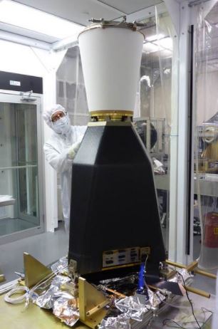
The Geostationary Lightning Mapper instrument that will fly on the GOES-S satellite is prepared for…
GOES-R Development Images

The GOES-R Geostationary Lightning Mapper (GLM) is installed onto the GOES-R spacecraft at Lockheed…
The GOES-R Geostationary Lightning Mapper completed testing and is now ready for integration with…

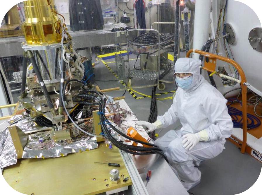
This image shows the instrument in a clean room at Lockheed Martin’s facility near Denver after it…

The GOES-R Geostationary Lightning Mapper (GLM) completed testing and is now ready for integration…
This image shows the GOES-R Geostationary Lightning Mapper (GLM) as it prepares to undergo…

The Geostationary Lightning Mapper (GLM) Sensor Unit is shown prior to preparations for thermal…
Installation of the Sensor Electronics Box onto the GOES-R Geostationary Lightning Mapper (GLM)…

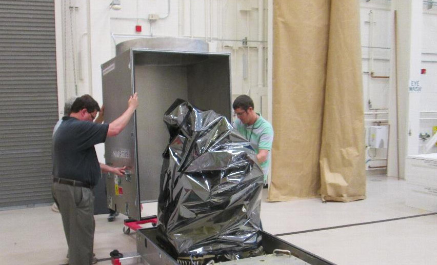
The GOES-R Geostationary Lightning Mapper (GLM) Sensor Unit is shown in a thermal shroud, preparing…

The Geostationary Lightning Mapper, Flight Model 1, which will fly on the GOES-R satellite, is…

The GOES-R Geostationary Lightning Mapper (GLM) Engineering Design Unit (EDU). The EDU is a full…