
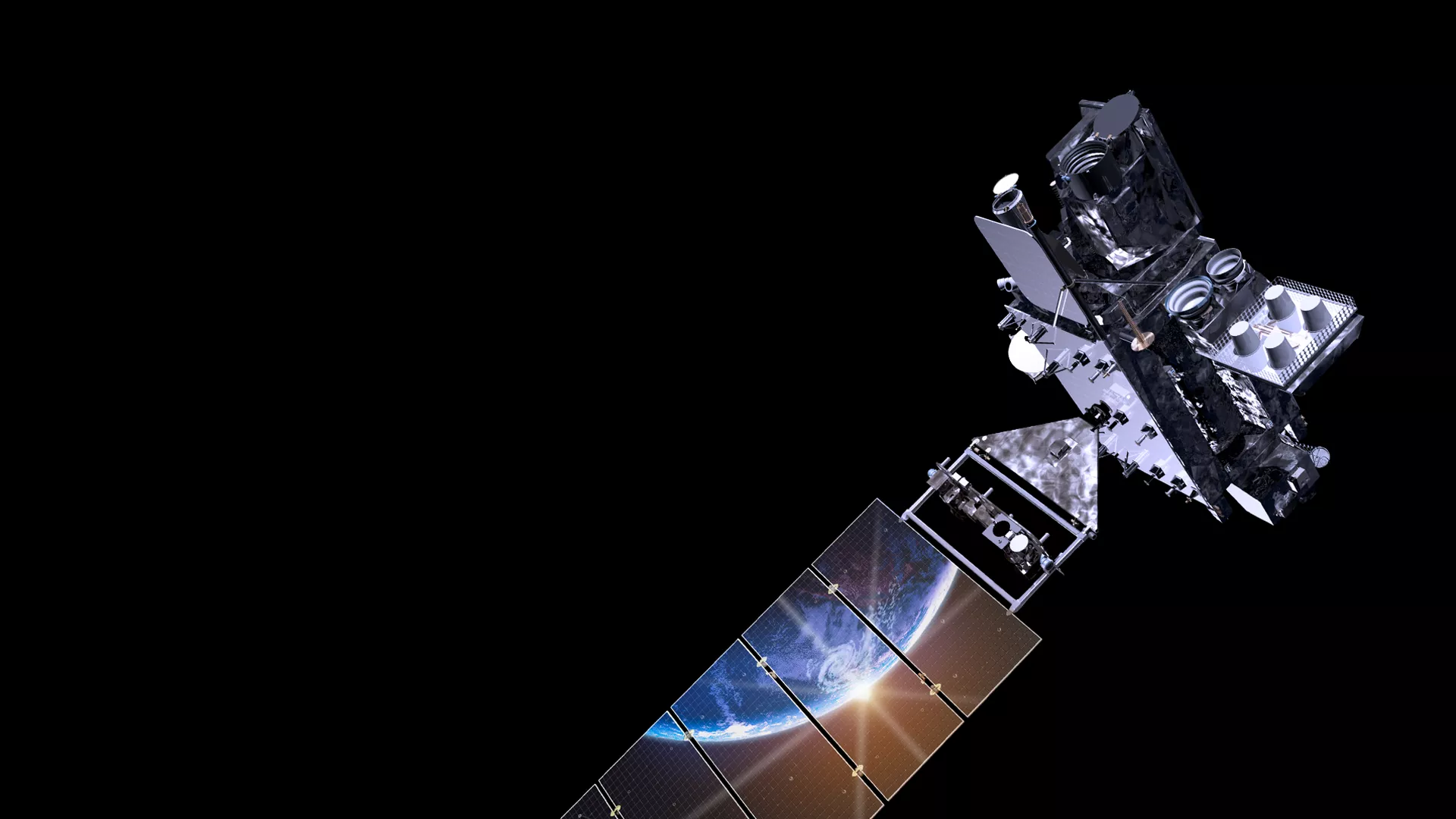
NOAA's GOES-18 Satellite
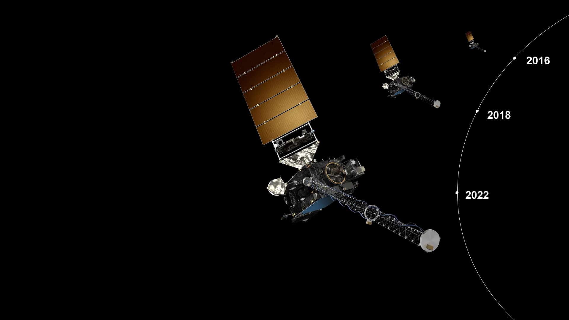
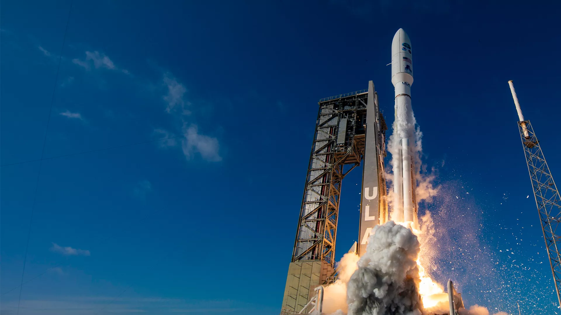
GOES-T launched on March 1, 2022, and was renamed GOES-18 upon reaching geostationary orbit on March 14. NOAA will put GOES-18 into operational service, replacing GOES-17 as GOES West in early January 2023.
Transition to Operations
GOES-18 completed a “split” post-launch testing phase that placed the satellite into position near the current GOES West location of 137.2 degrees west, over the Pacific Ocean, prior to the completion of post-launch testing. This allowed forecasters to have early access to operational Advanced Baseline Imager (ABI) data during the “warm” periods that degrade GOES-17 imagery during the height of hurricane season.
After completing post-launch testing in October 2022, GOES-18 was handed over to the NOAA Office of Satellite and Product Operations. The satellite will undergo additional testing of its data products before going into service as NOAA’s operational GOES West in January 2023.
Mission Facts
NOAA’s GOES-18 is the third satellite in the Geostationary Operational Environmental Satellites (GOES) – R Series, the Western Hemisphere’s most sophisticated weather-observing and environmental-monitoring system. The GOES-R Series provides advanced imagery and atmospheric measurements, real-time mapping of lightning activity, and monitoring of space weather.

Benefits & Capabilities
As GOES West, GOES-18 will be positioned to watch over the western contiguous United States, Alaska, Hawaii, Mexico, Central America, and the Pacific Ocean. The satellite will be ideally located to monitor weather systems and hazards that most affect this region of the Western Hemisphere, including:
- Atmospheric Weather
- Environmental Hazard Monitoring
- Ocean Observations
- Space Weather
GOES-18 Satellite 3D Model

Launch Coverage & Resources
View coverage of the GOES-18 launch and learn more about the mission through fact sheets, infographics, videos and more.
Launch Coverage & Resources
View coverage of the GOES-18 launch and learn more about the mission through fact sheets, infographics, videos and more.
Recent News
-
Feature Story
To mark 50 years of GOES in orbit, NOAA is looking back at ten notable events captured by these… -
Feature Story
LightningCast uses artificial intelligence (AI) to predict general locations where lightning is… -
Feature Story
For 50 years , NOAA’s Geostationary Operational Environmental Satellites (GOES) have kept a… -
Earth from Orbit
NOAA satellites have been monitoring a potent and complex spring weather pattern responsible for…