
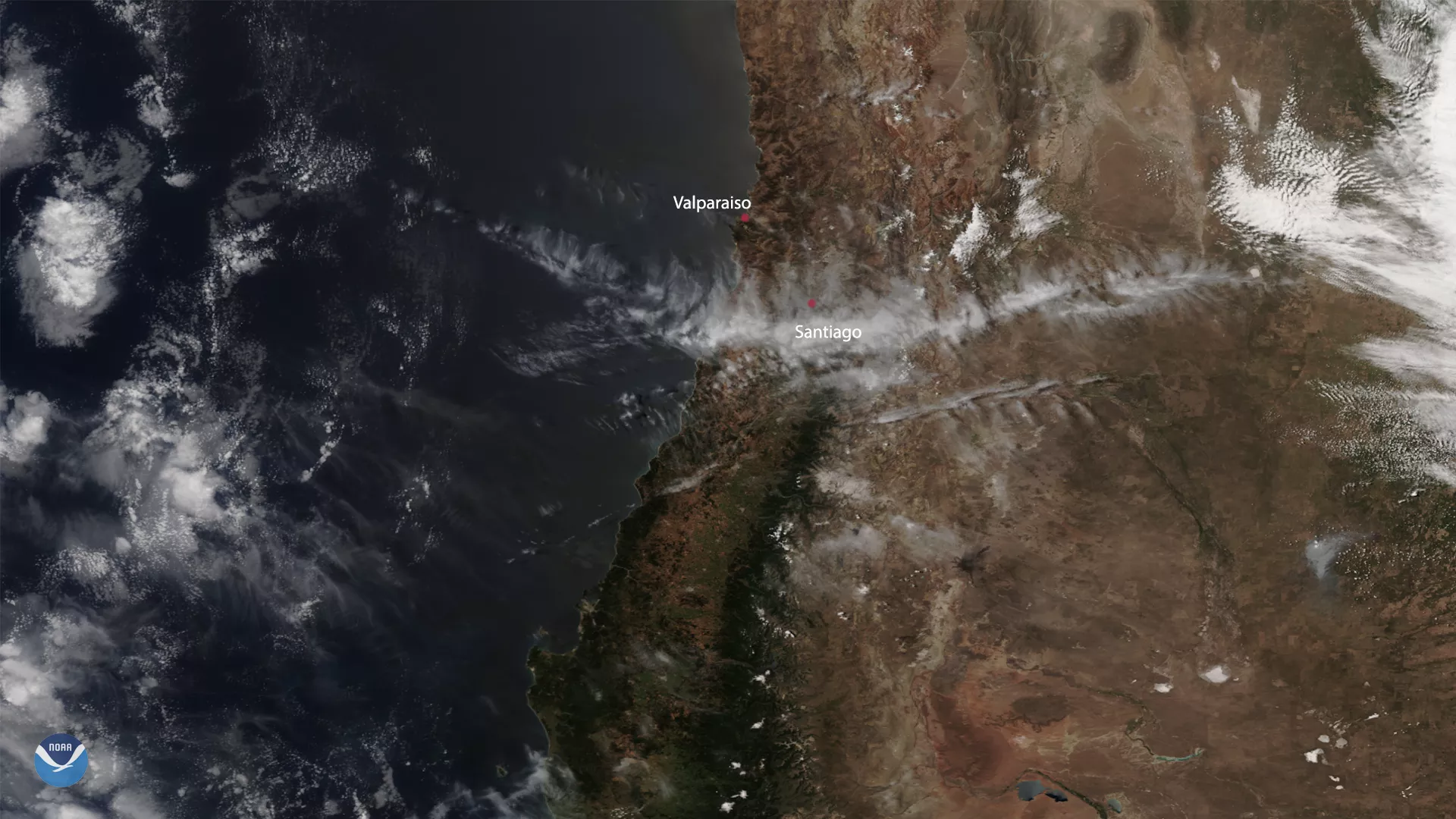
On Dec. 25, the NOAA-20 satellite captured the aftermath of the Valparaiso fires near Santiago, Chile. While they are believed to be man-made in origin, extant hot and dry conditions worsened the Christmas Eve fire’s effects. According to the Minister of the Interior Gonzalo Blumel, the fire has destroyed more than 200 homes in the area.
More than five years ago, a much worse wildfire started on April 12-- more than 2500 homes were destroyed and 12 people lost their lives during its four-day rampage. The fire from 2014 happened less than three miles from the most recent fire, which lasted for less than 24 hours and resulted in no serious injuries. The better outcome is credited to a much more efficient response time by Chilean authorities, which included firefighting and a quickly deployed evacuation order by the government.
While the 2014 fire left significant scarring on the landscape, the 2019 fire is not anticipated to leave a similar footprint. Chilean President Sebastian Pinera, who is a strong advocate for climate action and carbon neutrality, stated that coordinated efforts from Chile’s National Forestry Corporation (CONAF), the National Emergency Office of the Ministry of the Interior and Public Security (ONEMI), and local governmental entities are working together to “help victims and to start reconstruction.”
This image was captured by the NOAA-20 satellite's VIIRS instrument, which scans the entire Earth twice per day at a 750-meter resolution. Multiple visible and infrared channels allow it to detect atmospheric aerosols, such as dust, smoke and haze associated with industrial pollution and fires. The polar-orbiting satellite circles the globe 14 times daily and captures a complete daytime view of our planet once every 24 hours. Images taken by the VIIRS sensor during each orbit are then merged together to create image mosaics of larger regions, like the one used here.