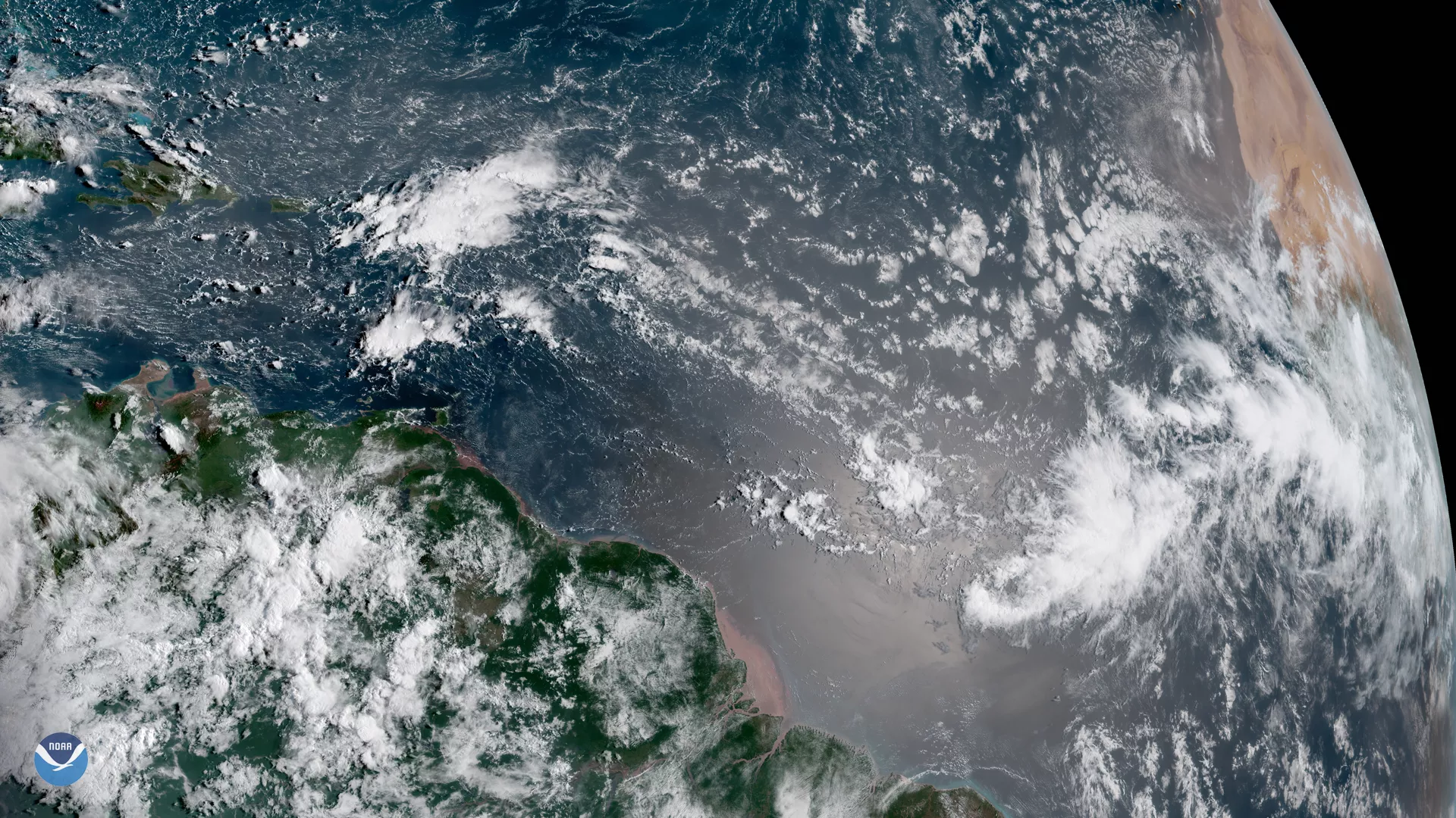
A cluster of clouds appears off the western coast of Africa in this GOES East satellite image, captured August 29, 2018, a sign that the Atlantic hurricane season is starting to ramp up. After an unusually quiet August with no hurricanes in the tropical Atlantic,atmospheric and ocean conditions are becoming more favorable for storm development.
The National Hurricane Center is monitoring an area of low pressure that is expected to form into a tropical wave between the coast of Africa and the Cabo Verde Islands on Thursday. Conditions appear favorable for development, with a 60 percent chance of a tropical storm forming in the next five days.
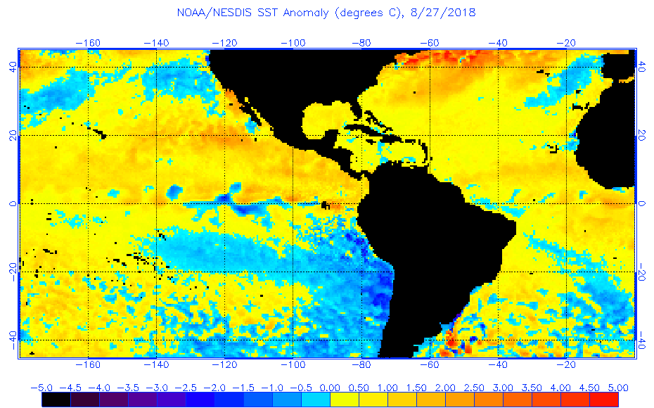
Until recently, cooler-than-normal sea surface temperatures and large amounts of Saharan dust helped suppress Atlantic hurricane activity. However, as sea surface temperatures warm and the Atlantic hurricane season nears its annual September peak , forecasters are seeing increased potential for tropical activity over the coming weeks. At this time, a repeat of the historic 2017 Atlantic hurricane season appears unlikely, but even a quiet season can still produce destructive landfalling storms.
This geocolor enhanced imagery was created by NOAA's partners at the Cooperative Institute for Research in the Atmosphere. The GOES East geostationary satellite, also known as GOES-16, provides coverage of the Western Hemisphere, including the United States, the Atlantic Ocean and the eastern Pacific. The satellite's high-resolution imagery provides optimal viewing of severe weather events, including thunderstorms, tropical storms and hurricanes.