

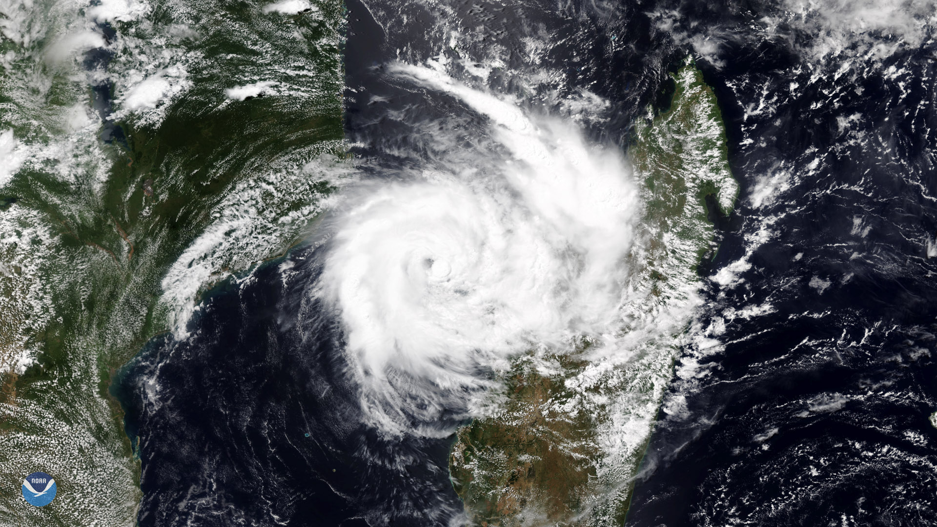
Tropical Cyclone Idai rapidly strengthened to a Category 3 storm in the warm waters of the Mozambique Channel over the weekend. This image, seen from the NOAA-20 polar orbiting satellite on March 10, 2019, shows Idai brushing the island of Madagascar before it gradually moves south and west toward the coast of central and southern Mozambique.
In its latest update, the Joint Typhoon Warning Center said the storm had sustained winds of 120 mph. Forecasts show the storm could strengthen to a Category 4 storm with winds near 145 mph late Tuesday into Wednesday local time.
According to NOAA's historical hurricane tracks database , if Idai makes landfall in Mozambique as Category 3 storm, it would be only the fourth tropical cyclone of that intensity or stronger since satellites began routinely tracking storms in the late 1960s. Even if winds slacken before the storm reaches land, Idai is expected to drop heavy rain and cause damaging storm surge and flooding along the Mozambique coast.
This image was captured by the NOAA-20 satellite's VIIRS instrument , which scans the entire globe twice daily at a 750-meter resolution. The VIIRS sensor provides high-resolution visible and infrared imagery of Earth's atmosphere, land, and oceans, and helps atmospheric scientists monitor severe weather events such as hurricanes and tropical storms.