
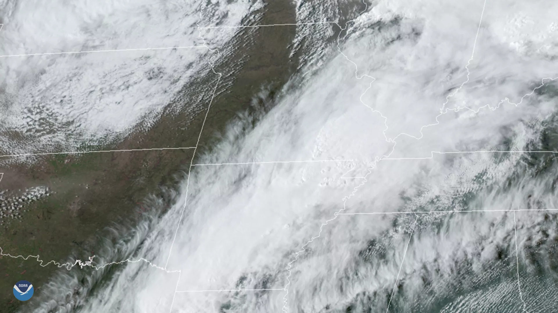
On March 28, 2020, GOES-East tracked supercell thunderstorms in Arkansas, which later produced several tornadoes. This included an EF3 tornado that caused damage to the Jonesboro area. The storms’ intensity was likely fueled by record-warm temperatures for this time of year. The Little Rock National Weather Service Office remarked that “[a] warm front exited to the north of the state, and ushered in well-above-average temperatures in the 80s to lower 90s.”
Over the course of the weekend of March 28-29, much of Arkansas was under a Slight Risk for severe weather; then, one thunderstorm dropped a tornado that hit the town of Amagon with winds estimated at 110 mph and a path just over five miles long. Additionally, weather offices around the area measured wind gusts up to 74 mph, strong enough to derail a nearby train and injure 20 people. The same supercell thunderstorm later produced a much-stronger EF3 tornado around Jonesboro that had estimated winds of 140 mph and injured 22 people. Fortunately, the public areas that would otherwise have been crowded at that time had reduced traffic due to the coronavirus pandemic, or the situation could have been much worse.
The GOES-East geostationary satellite, also known as GOES-16, keeps watch over most of North America, including the continental United States and Mexico, as well as Central and South America, the Caribbean, and the Atlantic Ocean to the west coast of Africa. The satellite's high-resolution imagery provides optimal viewing of severe weather events, including thunderstorms, tropical storms, and hurricanes.