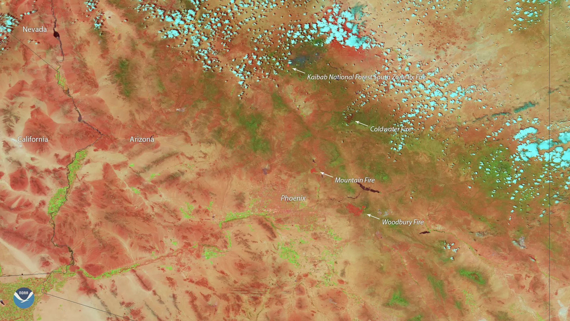
Heat from the Woodbury Fire, located east of Phoenix, is shown in red in this June 18, 2019, false-color imagery captured by the Suomi-NPP satellite’s VIIRS instrument. While the Woodbury Fire spread to more than 40,000 acres on Tuesday, the National Weather Service in Phoenix pointed out that it isn’t nearly as large as some of Arizona’s previous fires. The Wallow Fire, which burned more than 522,000 acres in 2011, remains the largest wildfire in the state’s history.
While the Woodbury Fire was 15 percent contained as of Tuesday night, increased winds coupled with hot and dry conditions are likely to fuel the blaze throughout Wednesday, according to InciWeb. More than 700 firefighters are working to contain the blaze, which is believed to be human-caused.
The Tonto National Monument closed Tuesday afternoon in order to prepare for the potential impacts of the Woodbury Fire. In addition, officials cut off public access to the Superstition Wilderness and the area around the perimeter of the Woodbury Fire to “eliminate the potential for the public to be in the fire area while emergency operations are taking place.”