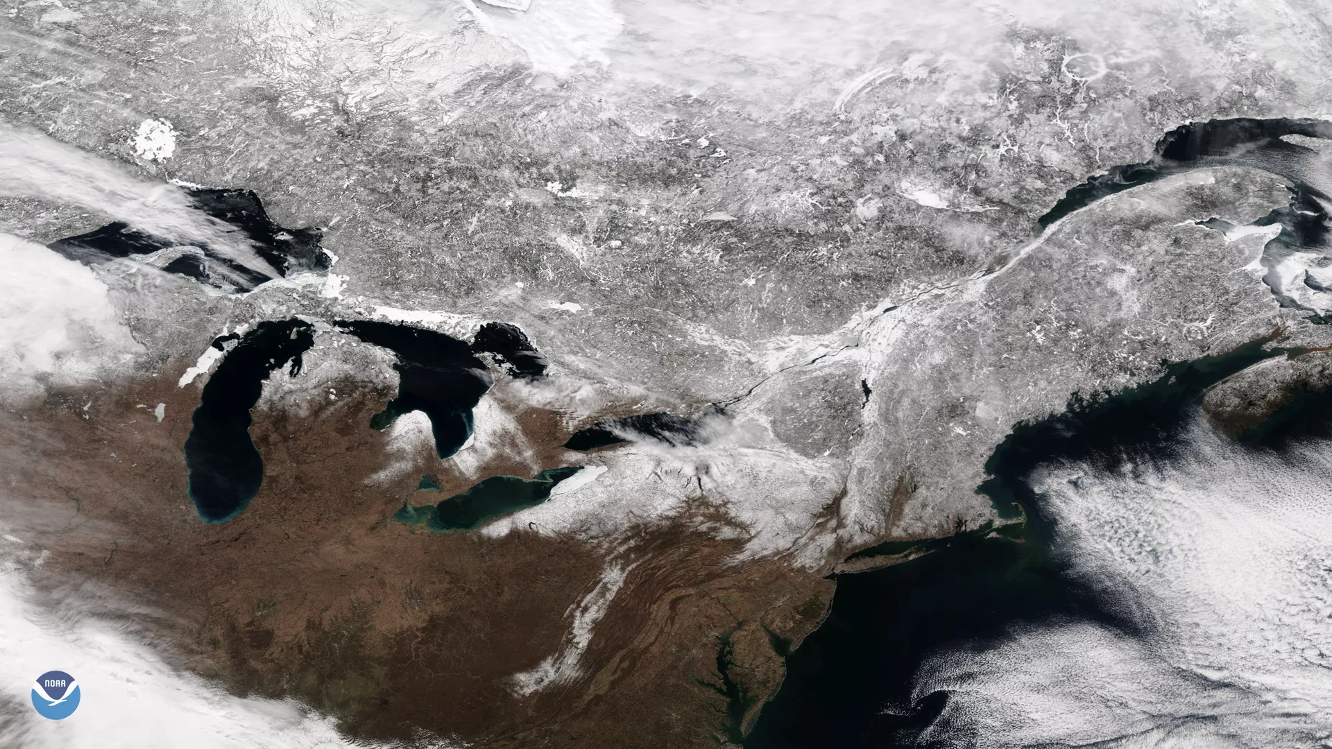
The Suomi NPP satellite's VIIRS instrument captured this view of clear skies over most of the northeastern United States and Canada on March 18, 2018. This image shows the snow-covered land in stunning detail. While snow cover is widespread across Canada, New England, New York and parts of Pennsylvania, more to the south snow is limited to the higher altitudes of the Appalachian mountains, clearly contrasting with the surrounding areas, where vegetation is still dormant from the winter. Patches of ice can be seen on parts of the shorelines of the Great Lakes.
Although true-color images like this may appear to be photographs of Earth, they aren't. They are created by combining data from the three color channels on the VIIRS instrument sensitive to the red, green and blue (or RGB) wavelengths of light into one composite image. In addition, data from several other channels are often also included to cancel out or correct atmospheric interference that may blur parts of the image.